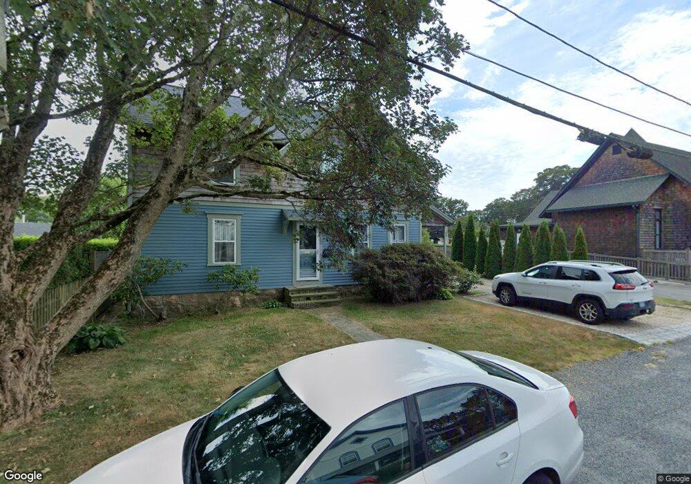
30 Hazard St Wakefield, RI 02879
Estimated Value: $546,640 - $648,000
4
Beds
2
Baths
1,784
Sq Ft
$343/Sq Ft
Est. Value
About This Home
This home is located at 30 Hazard St, Wakefield, RI 02879 and is currently estimated at $611,410, approximately $342 per square foot. 30 Hazard St is a home located in Washington County with nearby schools including South Kingstown High School, Monsignor Matthew Clarke Catholic Regional School, and Bradley School-South.
Ownership History
Date
Name
Owned For
Owner Type
Purchase Details
Closed on
Aug 28, 2008
Sold by
Chabot Russell R
Bought by
Wittwer Christian L
Current Estimated Value
Home Financials for this Owner
Home Financials are based on the most recent Mortgage that was taken out on this home.
Original Mortgage
$215,200
Interest Rate
6.29%
Mortgage Type
Purchase Money Mortgage
Purchase Details
Closed on
Apr 30, 1999
Sold by
Oconnor Deborah J
Bought by
Chabot Russell R
Purchase Details
Closed on
Jan 31, 1990
Sold by
Christ United Meth
Bought by
Oconnor Deborah J
Create a Home Valuation Report for This Property
The Home Valuation Report is an in-depth analysis detailing your home's value as well as a comparison with similar homes in the area
Home Values in the Area
Average Home Value in this Area
Purchase History
| Date | Buyer | Sale Price | Title Company |
|---|---|---|---|
| Wittwer Christian L | $269,500 | -- | |
| Chabot Russell R | $127,000 | -- | |
| Oconnor Deborah J | $124,000 | -- |
Source: Public Records
Mortgage History
| Date | Status | Borrower | Loan Amount |
|---|---|---|---|
| Open | Oconnor Deborah J | $200,000 | |
| Closed | Oconnor Deborah J | $219,338 | |
| Closed | Oconnor Deborah J | $215,200 |
Source: Public Records
Tax History Compared to Growth
Tax History
| Year | Tax Paid | Tax Assessment Tax Assessment Total Assessment is a certain percentage of the fair market value that is determined by local assessors to be the total taxable value of land and additions on the property. | Land | Improvement |
|---|---|---|---|---|
| 2025 | $3,795 | $424,500 | $157,100 | $267,400 |
| 2024 | $3,721 | $336,700 | $120,900 | $215,800 |
| 2023 | $3,721 | $336,700 | $120,900 | $215,800 |
| 2022 | $3,687 | $336,700 | $120,900 | $215,800 |
| 2021 | $3,728 | $258,000 | $105,100 | $152,900 |
| 2020 | $3,728 | $258,000 | $105,100 | $152,900 |
| 2019 | $3,728 | $258,000 | $105,100 | $152,900 |
| 2018 | $3,508 | $223,700 | $97,700 | $126,000 |
| 2017 | $3,425 | $223,700 | $97,700 | $126,000 |
| 2016 | $3,317 | $219,800 | $97,700 | $122,100 |
| 2015 | $3,295 | $212,300 | $95,500 | $116,800 |
| 2014 | $3,286 | $212,300 | $95,500 | $116,800 |
Source: Public Records
Map
Nearby Homes
- 37 Columbia St
- 10 Hendricks St
- 156 River St Unit B
- 39 Hazard Ave
- 45 Cherry Ln Unit C
- 98 Meadow Ave
- 40 Amos St
- 31 Winter St
- 48 Stone Bridge Dr
- 70 Broad Rock Rd
- 38 Eisenhower Place
- 3 Larkin St
- 23 Rockland Dr
- 128 Rodman St
- 228 Rodman St
- 128 North Rd
- 35 Whittier Dr
- 37 Whittier Dr
- 128 Camden Ct
- 17 Celestial Heights Dr