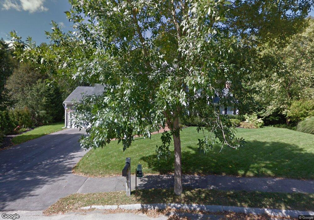
30 Hubbard Rd Dover, NH 03820
Dover Point NeighborhoodEstimated Value: $737,000 - $826,000
3
Beds
3
Baths
2,462
Sq Ft
$319/Sq Ft
Est. Value
About This Home
This home is located at 30 Hubbard Rd, Dover, NH 03820 and is currently estimated at $784,478, approximately $318 per square foot. 30 Hubbard Rd is a home located in Strafford County with nearby schools including Garrison School, Dover Middle School, and Dover Senior High School.
Ownership History
Date
Name
Owned For
Owner Type
Purchase Details
Closed on
Jan 20, 1999
Sold by
Stf Dev Corp
Bought by
Allen Thomas
Current Estimated Value
Home Financials for this Owner
Home Financials are based on the most recent Mortgage that was taken out on this home.
Original Mortgage
$200,000
Outstanding Balance
$46,149
Interest Rate
6.7%
Estimated Equity
$738,329
Create a Home Valuation Report for This Property
The Home Valuation Report is an in-depth analysis detailing your home's value as well as a comparison with similar homes in the area
Home Values in the Area
Average Home Value in this Area
Purchase History
| Date | Buyer | Sale Price | Title Company |
|---|---|---|---|
| Allen Thomas | $250,000 | -- |
Source: Public Records
Mortgage History
| Date | Status | Borrower | Loan Amount |
|---|---|---|---|
| Open | Allen Thomas | $200,000 |
Source: Public Records
Tax History Compared to Growth
Tax History
| Year | Tax Paid | Tax Assessment Tax Assessment Total Assessment is a certain percentage of the fair market value that is determined by local assessors to be the total taxable value of land and additions on the property. | Land | Improvement |
|---|---|---|---|---|
| 2024 | $13,851 | $762,300 | $210,800 | $551,500 |
| 2023 | $12,177 | $651,200 | $166,900 | $484,300 |
| 2022 | $11,801 | $594,800 | $158,100 | $436,700 |
| 2021 | $11,371 | $524,000 | $140,500 | $383,500 |
| 2020 | $11,071 | $445,500 | $127,400 | $318,100 |
| 2019 | $10,728 | $425,900 | $114,200 | $311,700 |
| 2018 | $10,245 | $411,100 | $101,000 | $310,100 |
| 2017 | $10,283 | $397,500 | $96,600 | $300,900 |
| 2016 | $9,717 | $369,600 | $85,800 | $283,800 |
| 2015 | $9,532 | $358,200 | $81,200 | $277,000 |
| 2014 | $9,317 | $358,200 | $81,200 | $277,000 |
| 2011 | $8,797 | $350,200 | $85,800 | $264,400 |
Source: Public Records
Map
Nearby Homes
- 15 Hubbard Rd
- 44 Northfield Dr
- 2 Shamrock Ln
- 21 Artisan Way
- 4 Teresa Dr
- 55 Pointe Place Unit 304
- 55 Pointe Place Unit 206
- 55 Pointe Place Unit 108
- 55 Pointe Place Unit 202
- 55 Pointe Place Unit 103
- 55 Pointe Place Unit 204
- 65 Pointe Place Unit 106
- 15 Dover Point Rd
- 13 Monroe St
- 18 S Pine St
- 25 Dover Point Rd
- 4 Madelyn Dr
- 93 Henry Law Ave Unit 73
- 93 Henry Law Ave Unit 61
- 93 Henry Law Ave Unit 29
- 17 Cottage Park Dr
- 8 Hayden Dr
- 40 Hayden Dr Unit Lot 8 - The Hannah
- 40 Hayden Dr Unit Lot 8 - The Ackley
- 18 Hayden Dr Unit Lot 5 - The Hannah
- 6 Hayden Dr Unit Lot 1 - The Hayword
- 24 Hayden Dr Unit 6
- 18 Hayden Dr Unit 5-The Hannah
- 6 Hayden Dr Unit 1 - The Hayword
- 7 Hayden Dr Unit 13 - Reagan
- 16 Hayden Dr Unit 4
- 28 Hubbard Rd
- 32 Hubbard Rd
- 26 Hubbard Rd
- 33 Hubbard Rd
- 31 Hubbard Rd
- 34 Hubbard Rd
- 29 Hubbard Rd
- 24 Hubbard Rd
- 15 Middle Rd