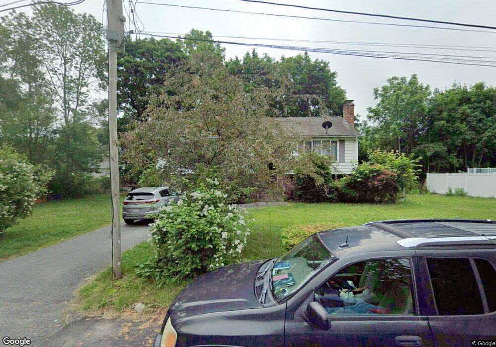
30 Langdon St Brockton, MA 02301
Campello NeighborhoodEstimated Value: $558,000 - $601,000
4
Beds
2
Baths
1,736
Sq Ft
$335/Sq Ft
Est. Value
About This Home
This home is located at 30 Langdon St, Brockton, MA 02301 and is currently estimated at $580,693, approximately $334 per square foot. 30 Langdon St is a home located in Plymouth County with nearby schools including Davis K-8 School, John F. Kennedy Elementary School, and South Middle School.
Ownership History
Date
Name
Owned For
Owner Type
Purchase Details
Closed on
Nov 19, 2008
Sold by
Citi Res Lending Inc
Bought by
Custard Jerome and Custard Dorothy
Current Estimated Value
Purchase Details
Closed on
Aug 8, 2008
Sold by
Pierre Gregory
Bought by
Deutsche Bank Natl T C
Purchase Details
Closed on
Nov 1, 2005
Sold by
Rhodes Leo and Rhodes Audrey
Bought by
Pierre Gregory
Home Financials for this Owner
Home Financials are based on the most recent Mortgage that was taken out on this home.
Original Mortgage
$68,000
Interest Rate
5.79%
Mortgage Type
Purchase Money Mortgage
Create a Home Valuation Report for This Property
The Home Valuation Report is an in-depth analysis detailing your home's value as well as a comparison with similar homes in the area
Home Values in the Area
Average Home Value in this Area
Purchase History
| Date | Buyer | Sale Price | Title Company |
|---|---|---|---|
| Custard Jerome | $215,000 | -- | |
| Deutsche Bank Natl T C | $247,212 | -- | |
| Pierre Gregory | $340,000 | -- |
Source: Public Records
Mortgage History
| Date | Status | Borrower | Loan Amount |
|---|---|---|---|
| Previous Owner | Pierre Gregory | $68,000 |
Source: Public Records
Tax History Compared to Growth
Tax History
| Year | Tax Paid | Tax Assessment Tax Assessment Total Assessment is a certain percentage of the fair market value that is determined by local assessors to be the total taxable value of land and additions on the property. | Land | Improvement |
|---|---|---|---|---|
| 2025 | $6,090 | $502,900 | $162,200 | $340,700 |
| 2024 | $5,872 | $488,500 | $162,200 | $326,300 |
| 2023 | $5,712 | $440,100 | $112,600 | $327,500 |
| 2022 | $5,159 | $369,300 | $102,400 | $266,900 |
| 2021 | $5,074 | $349,900 | $95,700 | $254,200 |
| 2020 | $4,978 | $328,600 | $83,700 | $244,900 |
| 2019 | $4,545 | $292,500 | $80,200 | $212,300 |
| 2018 | $5,015 | $276,300 | $80,200 | $196,100 |
| 2017 | $4,192 | $260,400 | $80,200 | $180,200 |
| 2016 | $4,139 | $238,400 | $76,400 | $162,000 |
| 2015 | $3,859 | $212,600 | $76,400 | $136,200 |
| 2014 | $3,631 | $200,300 | $76,400 | $123,900 |
Source: Public Records
Map
Nearby Homes
- 358 Copeland St
- 15 Longworth Ave Unit 231
- 35 Longworth Ave Unit 17
- 13 Finny's Way
- 15 Fieldstone Dr
- 47 Southworth St
- 1 Fairway Dr
- 21 Roosevelt Ave
- 115 Market St
- 163 S Leyden St
- 16 Friendship Dr
- 65 Tremont St
- 223 Clinton St Unit 10
- 223 Clinton St Unit 3
- 1036 Ash St
- 137 Channing Ave
- 19 Progressive Ave
- 977 Warren Ave
- 18 American Ave
- 176 Ettrick St
- 151 Hubbard Ave
- 147 Hubbard Ave
- 328 Copeland St
- 326 Copeland St
- 141 Hubbard Ave
- 330 Copeland St
- 31 Langdon St
- 137 Hubbard Ave
- 350 Copeland St
- 12 Oakside Ave
- 148 Hubbard Ave
- 184 Hubbard Ave
- 142 Hubbard Ave
- 133 Hubbard Ave
- 138 Hubbard Ave
- 331 Copeland St
- 325 Copeland St
- 89 Glendale Ave
- 321 Copeland St
- 345 Copeland St