30 Laurentian Dr Freedom, NH 03836
Estimated Value: $318,000 - $409,000
2
Beds
2
Baths
1,092
Sq Ft
$321/Sq Ft
Est. Value
About This Home
This home is located at 30 Laurentian Dr, Freedom, NH 03836 and is currently estimated at $350,344, approximately $320 per square foot. 30 Laurentian Dr is a home located in Carroll County with nearby schools including Freedom Elementary School.
Ownership History
Date
Name
Owned For
Owner Type
Purchase Details
Closed on
Jul 19, 2013
Sold by
Dever Michael J
Bought by
Douglass Susan L
Current Estimated Value
Purchase Details
Closed on
Apr 9, 2010
Sold by
Douglass Susan T
Bought by
Dever Michael J
Home Financials for this Owner
Home Financials are based on the most recent Mortgage that was taken out on this home.
Original Mortgage
$81,720
Interest Rate
5.12%
Mortgage Type
Purchase Money Mortgage
Purchase Details
Closed on
Dec 4, 2007
Sold by
Crosby Wayne and Crosby Janet
Bought by
David C Lornes Ret
Create a Home Valuation Report for This Property
The Home Valuation Report is an in-depth analysis detailing your home's value as well as a comparison with similar homes in the area
Home Values in the Area
Average Home Value in this Area
Purchase History
| Date | Buyer | Sale Price | Title Company |
|---|---|---|---|
| Douglass Susan L | $105,000 | -- | |
| Dever Michael J | $80,000 | -- | |
| David C Lornes Ret | $88,000 | -- |
Source: Public Records
Mortgage History
| Date | Status | Borrower | Loan Amount |
|---|---|---|---|
| Previous Owner | David C Lornes Ret | $81,720 |
Source: Public Records
Tax History Compared to Growth
Tax History
| Year | Tax Paid | Tax Assessment Tax Assessment Total Assessment is a certain percentage of the fair market value that is determined by local assessors to be the total taxable value of land and additions on the property. | Land | Improvement |
|---|---|---|---|---|
| 2024 | $1,980 | $275,700 | $101,800 | $173,900 |
| 2023 | $1,654 | $150,600 | $28,500 | $122,100 |
| 2022 | $1,541 | $150,600 | $28,500 | $122,100 |
| 2021 | $1,634 | $150,600 | $28,500 | $122,100 |
| 2020 | $1,584 | $148,500 | $26,400 | $122,100 |
| 2019 | $1,481 | $109,200 | $23,100 | $86,100 |
| 2018 | $1,412 | $109,200 | $23,100 | $86,100 |
| 2016 | $1,334 | $105,900 | $23,100 | $82,800 |
| 2015 | $1,277 | $105,500 | $22,700 | $82,800 |
| 2014 | -- | $105,500 | $22,700 | $82,800 |
| 2013 | $1,304 | $105,500 | $22,700 | $82,800 |
Source: Public Records
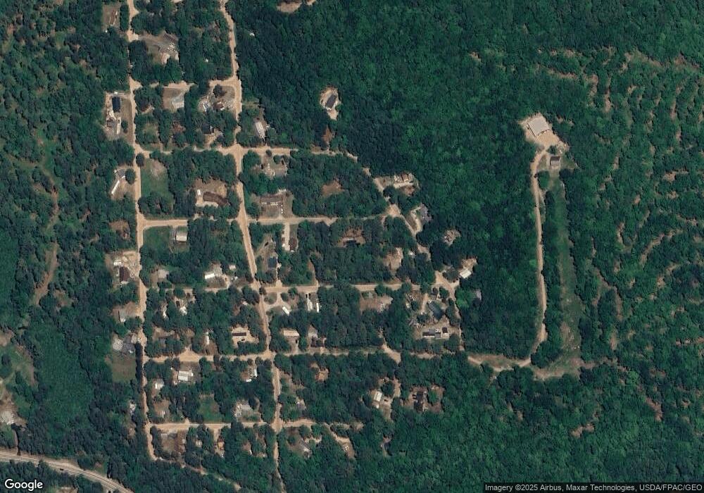
Map
Nearby Homes
- 29 Milford Ave
- 50 Milford Ave
- 5 Friedman Ln
- 5-11 Friedman Ln
- 16 Channel Rd
- 126 Leavitt Rd
- Lot 12 Friedman Ln
- 118 Washington Rd Unit 55
- 9 Abenaki Dr
- Lot 3 Parsons Rd
- Lots 0-4 Parsons Rd
- Lot 2 Parsons Rd
- Lot 4 Parsons Rd
- Lot 1 Parsons Rd
- 10 Spur Rd
- 6 Laurel Rd
- 2 Quail Rd
- 78 School St
- 33 Blueberry Rd
- Lot 10 Friedman
- 31 John's Blvd
- 15 Poplar Ridge Rd
- 24 Laurentian Dr
- 31 Laurentian Dr
- 42 Johns Blvd
- 28 Johns Blvd
- 26 Poplar Ridge Rd
- 30 Poplar Ridge Rd
- 21 Johns Blvd
- 39 Milford Ave
- 21 Laurentian Dr
- 12 Poplar Ridge Rd
- 27 Milford Ave
- 15 Milford Ave
- 25 Milford Ave
- 22 Birchwood Farm Rd
- 6 Poplar Ridge Rd
- 42 Old Stagecoach Rd
- 0 Old Stagecoach Rd Unit 4897810
- 0 Old Stagecoach Rd Unit 47 4850722