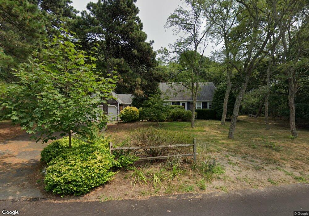
30 Leeward Way Eastham, MA 02642
Estimated Value: $659,000 - $789,000
4
Beds
2
Baths
1,801
Sq Ft
$404/Sq Ft
Est. Value
About This Home
This home is located at 30 Leeward Way, Eastham, MA 02642 and is currently estimated at $727,524, approximately $403 per square foot. 30 Leeward Way is a home located in Barnstable County with nearby schools including Eastham Elementary School, Nauset Regional Middle School, and Nauset Regional High School.
Ownership History
Date
Name
Owned For
Owner Type
Purchase Details
Closed on
Jul 22, 1994
Sold by
Kennedy Barbara A
Bought by
Taube Betty J and Taube Kevin A
Current Estimated Value
Home Financials for this Owner
Home Financials are based on the most recent Mortgage that was taken out on this home.
Original Mortgage
$106,000
Interest Rate
8.19%
Mortgage Type
Purchase Money Mortgage
Create a Home Valuation Report for This Property
The Home Valuation Report is an in-depth analysis detailing your home's value as well as a comparison with similar homes in the area
Home Values in the Area
Average Home Value in this Area
Purchase History
| Date | Buyer | Sale Price | Title Company |
|---|---|---|---|
| Taube Betty J | $132,500 | -- |
Source: Public Records
Mortgage History
| Date | Status | Borrower | Loan Amount |
|---|---|---|---|
| Open | Taube Betty J | $105,000 | |
| Closed | Taube Betty J | $106,000 |
Source: Public Records
Tax History
| Year | Tax Paid | Tax Assessment Tax Assessment Total Assessment is a certain percentage of the fair market value that is determined by local assessors to be the total taxable value of land and additions on the property. | Land | Improvement |
|---|---|---|---|---|
| 2025 | $4,867 | $631,300 | $270,400 | $360,900 |
| 2024 | $4,297 | $613,000 | $262,500 | $350,500 |
| 2023 | $3,969 | $548,200 | $243,100 | $305,100 |
| 2022 | $3,727 | $434,400 | $217,000 | $217,400 |
| 2021 | $3,624 | $394,800 | $197,300 | $197,500 |
| 2020 | $3,367 | $386,100 | $201,300 | $184,800 |
| 2019 | $3,094 | $375,000 | $195,500 | $179,500 |
| 2018 | $3,062 | $366,700 | $189,800 | $176,900 |
| 2017 | $2,860 | $362,000 | $186,100 | $175,900 |
| 2016 | $2,481 | $333,500 | $158,200 | $175,300 |
| 2015 | $2,327 | $327,700 | $155,100 | $172,600 |
Source: Public Records
Map
Nearby Homes
- 18 Jay Dee Ln
- 115 Wamsutta Rd
- 5470 State Hwy
- 100 Gigi Ln
- 20 Oak Rd
- 49 Village Ln
- 46 Spring Brook Rd
- 10 Bradford Ln
- 340 Salt Works Rd
- 255 Massasoit Rd
- 65 Harmes Way
- 85 Huckleberry Ln
- 82 Old Orchard Rd
- 157 Brownell Rd
- 245 Nauset Light Beach Rd
- 135 Nauset Light Beach Rd
- 300 School House Rd
- 70 Deerfield Ln
- 50 Surrey Dr
- 600 Kingsbury Beach Rd
- 35 Leeward Way
- 120 Aspinet Rd
- 60 Leeward Way
- 135 Aspinet Rd
- 35 Wilson Ave
- 250 Quail Cover Ln
- 165 Aspinet Rd
- 105 Aspinet Rd
- 190 Aspinet Rd
- 65 Wilson Ave
- 140 Wampum Ln
- 195 Aspinet Rd
- 255 Quail Cover Ln
- 230 Quail Cover Ln
- 50 Wilson Ave
- 90 Leeward Way
- 120 Wampum Ln
- 70 Aspinet Rd
- 65 Aspinet Rd
- 110 Wampum Ln
Your Personal Tour Guide
Ask me questions while you tour the home.