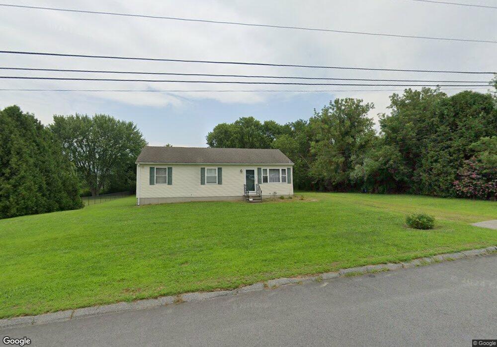
30 Lori Dr Plainfield, CT 06374
Estimated Value: $304,000 - $319,000
3
Beds
1
Bath
1,008
Sq Ft
$306/Sq Ft
Est. Value
About This Home
This home is located at 30 Lori Dr, Plainfield, CT 06374 and is currently estimated at $308,859, approximately $306 per square foot. 30 Lori Dr is a home located in Windham County with nearby schools including Plainfield Memorial School, Plainfield Central Middle School, and Plainfield High School.
Ownership History
Date
Name
Owned For
Owner Type
Purchase Details
Closed on
Jul 28, 1999
Sold by
Usa
Bought by
Pomposelli Jamie
Current Estimated Value
Home Financials for this Owner
Home Financials are based on the most recent Mortgage that was taken out on this home.
Original Mortgage
$49,600
Interest Rate
7.61%
Create a Home Valuation Report for This Property
The Home Valuation Report is an in-depth analysis detailing your home's value as well as a comparison with similar homes in the area
Home Values in the Area
Average Home Value in this Area
Purchase History
| Date | Buyer | Sale Price | Title Company |
|---|---|---|---|
| Pomposelli Jamie | $62,100 | -- | |
| Pomposelli Jamie | $62,100 | -- |
Source: Public Records
Mortgage History
| Date | Status | Borrower | Loan Amount |
|---|---|---|---|
| Closed | Pomposelli Jamie | $91,500 | |
| Closed | Pomposelli Jamie | $49,600 |
Source: Public Records
Tax History
| Year | Tax Paid | Tax Assessment Tax Assessment Total Assessment is a certain percentage of the fair market value that is determined by local assessors to be the total taxable value of land and additions on the property. | Land | Improvement |
|---|---|---|---|---|
| 2025 | $3,573 | $149,750 | $32,900 | $116,850 |
| 2024 | $3,504 | $149,750 | $32,900 | $116,850 |
| 2023 | $3,413 | $149,750 | $32,900 | $116,850 |
| 2022 | $4,318 | $92,120 | $28,450 | $63,670 |
| 2021 | $2,822 | $92,120 | $28,450 | $63,670 |
| 2020 | $2,822 | $92,120 | $28,450 | $63,670 |
| 2019 | $2,822 | $92,120 | $28,450 | $63,670 |
| 2018 | $2,788 | $92,120 | $28,450 | $63,670 |
| 2017 | $2,783 | $86,360 | $23,950 | $62,410 |
| 2016 | $2,707 | $86,360 | $23,950 | $62,410 |
| 2015 | $2,648 | $86,360 | $23,950 | $62,410 |
| 2014 | $2,648 | $86,360 | $23,950 | $62,410 |
Source: Public Records
Map
Nearby Homes
- 77 Charlotte Dr
- 44-46 S Chestnut St
- 30 S Walnut St
- 365 Putnam Rd Unit 367
- 41 Grove St Unit 45
- 0 Wauregan Rd NE Unit 24143170
- 0 Putnam Rd Unit 24147722
- 30 Main St
- 277 Moosup Pond Rd
- 263 Christian Hill Rd
- 47 Texas Heights Rd
- 100 Squaw Rock Rd
- 193 Christian Hill Rd
- 133 Sachem Dr
- 33 Junior Ave
- 58 Milner Ave
- 561 Allen Hill Rd
- 13 Henry Dr
- 23 High St
- 12 Mechanic St
Your Personal Tour Guide
Ask me questions while you tour the home.