Estimated Value: $256,204 - $267,000
2
Beds
1
Bath
720
Sq Ft
$363/Sq Ft
Est. Value
About This Home
This home is located at 30 Malboeuf Rd, Ware, MA 01082 and is currently estimated at $261,051, approximately $362 per square foot. 30 Malboeuf Rd is a home located in Hampshire County with nearby schools including Stanley M. Koziol Elementary School, Ware Middle School, and Ware Junior/Senior High School.
Ownership History
Date
Name
Owned For
Owner Type
Purchase Details
Closed on
May 15, 2007
Sold by
Mathews Olive E
Bought by
Green Jason W
Current Estimated Value
Home Financials for this Owner
Home Financials are based on the most recent Mortgage that was taken out on this home.
Original Mortgage
$100,000
Outstanding Balance
$60,960
Interest Rate
6.21%
Mortgage Type
Purchase Money Mortgage
Estimated Equity
$200,091
Create a Home Valuation Report for This Property
The Home Valuation Report is an in-depth analysis detailing your home's value as well as a comparison with similar homes in the area
Home Values in the Area
Average Home Value in this Area
Purchase History
| Date | Buyer | Sale Price | Title Company |
|---|---|---|---|
| Green Jason W | $125,000 | -- |
Source: Public Records
Mortgage History
| Date | Status | Borrower | Loan Amount |
|---|---|---|---|
| Open | Green Jason W | $100,000 |
Source: Public Records
Tax History
| Year | Tax Paid | Tax Assessment Tax Assessment Total Assessment is a certain percentage of the fair market value that is determined by local assessors to be the total taxable value of land and additions on the property. | Land | Improvement |
|---|---|---|---|---|
| 2025 | $3,288 | $218,300 | $44,300 | $174,000 |
| 2024 | $3,152 | $193,000 | $41,800 | $151,200 |
| 2023 | $3,171 | $183,700 | $40,200 | $143,500 |
| 2022 | $3,116 | $161,100 | $37,300 | $123,800 |
| 2021 | $3,041 | $150,700 | $37,300 | $113,400 |
| 2020 | $2,962 | $143,600 | $37,300 | $106,300 |
| 2019 | $2,902 | $143,600 | $37,300 | $106,300 |
| 2018 | $2,879 | $139,000 | $40,300 | $98,700 |
| 2017 | $2,721 | $131,000 | $42,800 | $88,200 |
| 2016 | $2,648 | $131,000 | $42,800 | $88,200 |
| 2015 | $2,574 | $131,000 | $42,800 | $88,200 |
| 2014 | $2,369 | $129,400 | $36,800 | $92,600 |
Source: Public Records
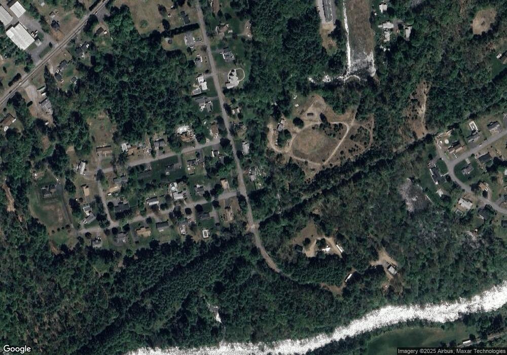
Map
Nearby Homes
- 310 Palmer Rd
- 201 West St
- LOT 3 Monson Turnpike Rd
- 201 Belchertown Rd
- 24 Clinton St
- 87 W Main St
- 30 Warebrook Village
- 7 Webb Ct
- 23 West St Unit 25
- 44 South St
- 378 Rondeau St
- 60 Quaboag Valley Co Op St
- 67 Babcock Tavern Rd
- 375 Belchertown Rd
- 48 North St Unit 1
- 3 Church St
- 79 Pleasant St
- Lot 16 Coldbrook Dr
- Lot 20 Coldbrook Dr
- Lot 22 Coldbrook Dr
Your Personal Tour Guide
Ask me questions while you tour the home.