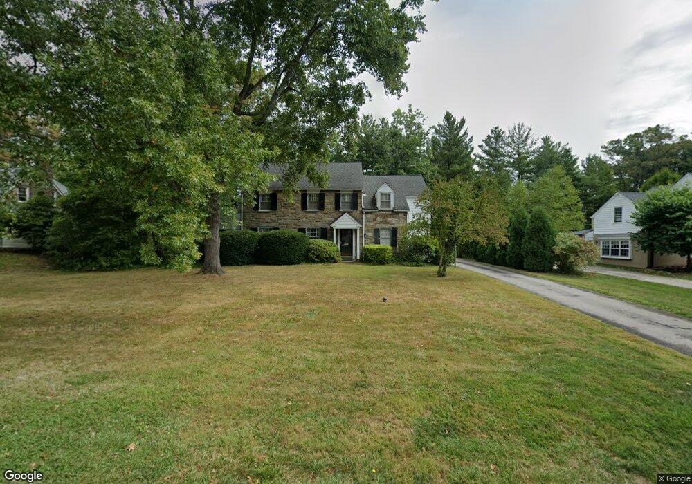
30 Meadowood Rd Bryn Mawr, PA 19010
Rosemont NeighborhoodEstimated Value: $1,187,751 - $1,529,000
4
Beds
4
Baths
2,458
Sq Ft
$538/Sq Ft
Est. Value
About This Home
This home is located at 30 Meadowood Rd, Bryn Mawr, PA 19010 and is currently estimated at $1,321,938, approximately $537 per square foot. 30 Meadowood Rd is a home located in Delaware County with nearby schools including Radnor El School, Radnor Middle School, and Radnor Senior High School.
Ownership History
Date
Name
Owned For
Owner Type
Purchase Details
Closed on
Jun 28, 2001
Sold by
Lassen Jacqueline F
Bought by
Hood Alice Kramer
Current Estimated Value
Home Financials for this Owner
Home Financials are based on the most recent Mortgage that was taken out on this home.
Original Mortgage
$100,000
Outstanding Balance
$38,705
Interest Rate
7.2%
Mortgage Type
Purchase Money Mortgage
Estimated Equity
$1,283,233
Create a Home Valuation Report for This Property
The Home Valuation Report is an in-depth analysis detailing your home's value as well as a comparison with similar homes in the area
Home Values in the Area
Average Home Value in this Area
Purchase History
| Date | Buyer | Sale Price | Title Company |
|---|---|---|---|
| Hood Alice Kramer | $519,000 | Commonwealth Land Title Ins |
Source: Public Records
Mortgage History
| Date | Status | Borrower | Loan Amount |
|---|---|---|---|
| Open | Hood Alice Kramer | $100,000 |
Source: Public Records
Tax History Compared to Growth
Tax History
| Year | Tax Paid | Tax Assessment Tax Assessment Total Assessment is a certain percentage of the fair market value that is determined by local assessors to be the total taxable value of land and additions on the property. | Land | Improvement |
|---|---|---|---|---|
| 2025 | $12,946 | $640,320 | $218,500 | $421,820 |
| 2024 | $12,946 | $640,320 | $218,500 | $421,820 |
| 2023 | $12,433 | $640,320 | $218,500 | $421,820 |
| 2022 | $12,297 | $640,320 | $218,500 | $421,820 |
| 2021 | $19,753 | $640,320 | $218,500 | $421,820 |
| 2020 | $11,004 | $316,330 | $124,540 | $191,790 |
| 2019 | $10,694 | $316,330 | $124,540 | $191,790 |
| 2018 | $10,484 | $316,330 | $0 | $0 |
| 2017 | $10,265 | $316,330 | $0 | $0 |
| 2016 | $1,736 | $316,330 | $0 | $0 |
| 2015 | $1,736 | $316,330 | $0 | $0 |
| 2014 | $1,736 | $316,330 | $0 | $0 |
Source: Public Records
Map
Nearby Homes
- 219 S Ithan Ave
- 117 Debaran Ln
- 8 Lockwood Ln
- 7 Lockwood Ln
- 4 Lockwood Ln
- 3 Lockwood Ln
- 200 S Ithan Ave
- 12 Lockwood Ln
- 13 Barley Cone Ln
- 15 Lockwood Ln
- 221 Fitzwilliams Rd
- 223 Fitzwilliams Rd
- 12 Lowrys Ln
- 4 Lowrys Ln
- 329 Williams Rd
- 200 Hilldale Rd
- 406 Barclay Rd
- 1030 E Lancaster Ave Unit 126
- 1030 E Lancaster Ave Unit 923
- 168 Woodstock Rd
- 32 Meadowood Rd
- 28 Meadowood Rd
- 23 Meadowood Rd
- 34 Meadowood Rd
- 25 Meadowood Rd
- 26 Meadowood Rd
- 21 Meadowood Rd
- 27 Meadowood Rd
- 36 Meadowood Rd
- 29 Meadowood Rd
- 24 Meadowood Rd
- 103 Browning Ln
- 100 Browning Ln
- 176 Brooklea Rd
- 174 Brooklea Rd
- 172 Brooklea Rd
- 129 S Ithan Ave
- 135 S Ithan Ave
- 170 Brooklea Rd
- 201 S Ithan Ave