30 S Plain Rd Sunderland, MA 01375
Estimated Value: $789,468 - $845,000
4
Beds
5
Baths
2,864
Sq Ft
$286/Sq Ft
Est. Value
About This Home
This home is located at 30 S Plain Rd, Sunderland, MA 01375 and is currently estimated at $818,156, approximately $285 per square foot. 30 S Plain Rd is a home located in Franklin County with nearby schools including Sunderland Elementary School and Frontier Regional School.
Ownership History
Date
Name
Owned For
Owner Type
Purchase Details
Closed on
Aug 14, 2020
Sold by
Luo Shiun-Fen
Bought by
Shiun-Fen Luo Ret and Luo
Current Estimated Value
Purchase Details
Closed on
Apr 25, 2006
Sold by
Tsai Woei-Min
Bought by
Tsai Shiun-Fen
Purchase Details
Closed on
Jul 2, 1999
Sold by
Bergstrom Kenneth L and Homme Anne R
Bought by
Tsai Woeimin and Tsai Shiunfen
Create a Home Valuation Report for This Property
The Home Valuation Report is an in-depth analysis detailing your home's value as well as a comparison with similar homes in the area
Home Values in the Area
Average Home Value in this Area
Purchase History
| Date | Buyer | Sale Price | Title Company |
|---|---|---|---|
| Shiun-Fen Luo Ret | -- | None Available | |
| Shiun-Fen Luo Ret | -- | None Available | |
| Shiun-Fen Luo Ret | -- | None Available | |
| Tsai Shiun-Fen | -- | -- | |
| Tsai Shiun-Fen | -- | -- | |
| Tsai Shiun-Fen | -- | -- | |
| Tsai Woeimin | $62,500 | -- | |
| Tsai Woeimin | $62,500 | -- |
Source: Public Records
Mortgage History
| Date | Status | Borrower | Loan Amount |
|---|---|---|---|
| Previous Owner | Tsai Woeimin | $180,000 | |
| Previous Owner | Tsai Woeimin | $200,000 |
Source: Public Records
Tax History
| Year | Tax Paid | Tax Assessment Tax Assessment Total Assessment is a certain percentage of the fair market value that is determined by local assessors to be the total taxable value of land and additions on the property. | Land | Improvement |
|---|---|---|---|---|
| 2025 | $9,384 | $720,773 | $135,873 | $584,900 |
| 2024 | $9,817 | $747,100 | $162,200 | $584,900 |
| 2023 | $9,028 | $705,300 | $147,000 | $558,300 |
| 2022 | $9,142 | $621,900 | $126,200 | $495,700 |
| 2021 | $8,375 | $540,700 | $116,700 | $424,000 |
| 2020 | $8,330 | $539,500 | $116,700 | $422,800 |
| 2019 | $8,061 | $525,800 | $113,300 | $412,500 |
| 2018 | $7,385 | $492,300 | $109,800 | $382,500 |
| 2017 | $6,996 | $487,900 | $109,800 | $378,100 |
| 2016 | $7,186 | $490,200 | $106,800 | $383,400 |
| 2015 | $7,015 | $490,200 | $106,800 | $383,400 |
| 2014 | $6,853 | $490,200 | $106,800 | $383,400 |
Source: Public Records
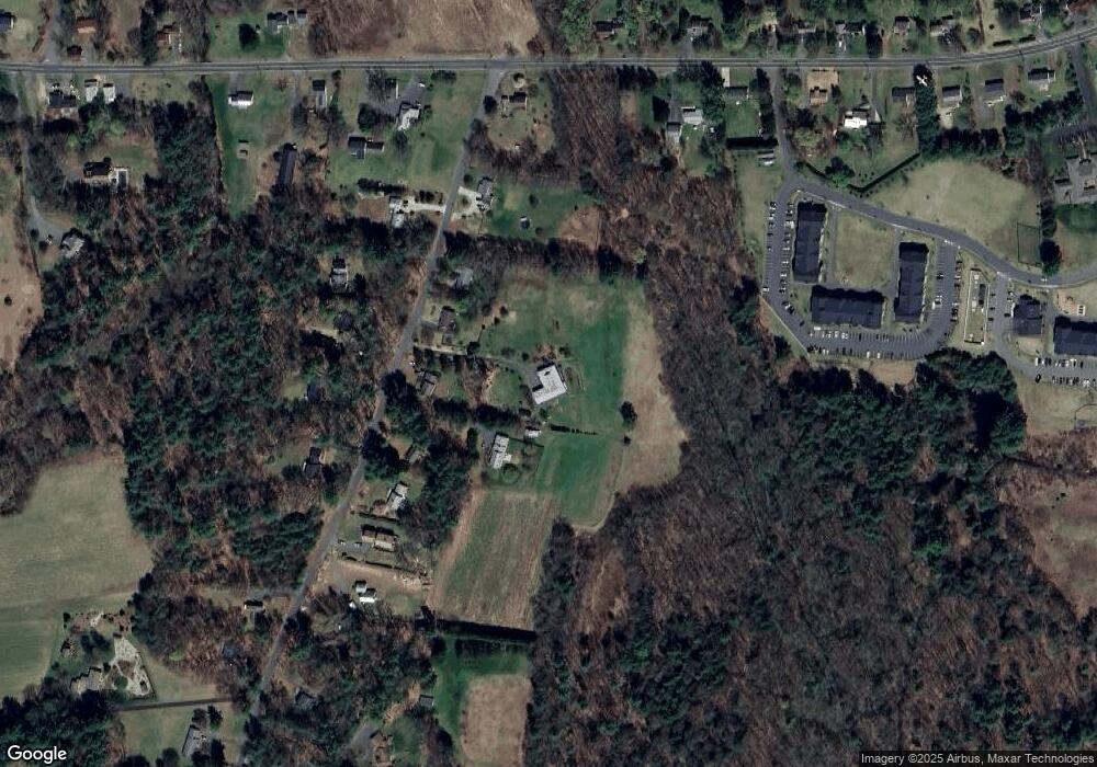
Map
Nearby Homes
- 15 S Plain Rd
- 8 Aloha Dr
- 3 Frost Ln
- 10 Depot Rd
- 208 Pine St Unit 53
- 113 Juggler Meadow Rd
- 208 Rolling Ridge Rd
- 167 Rolling Ridge Rd
- 12 Teawaddle Ln
- 33 Bridge St
- 100 Depot Rd
- Lot 3 Roosevelt St
- 185 Cherry Ln
- Lot A Kingman Rd
- 37 River Rd
- 35 Weatherwood Rd
- 27 January Hills Rd
- 50 Mount Pleasant
- Lot A January Hills Rd
- 79 State Rd
Your Personal Tour Guide
Ask me questions while you tour the home.