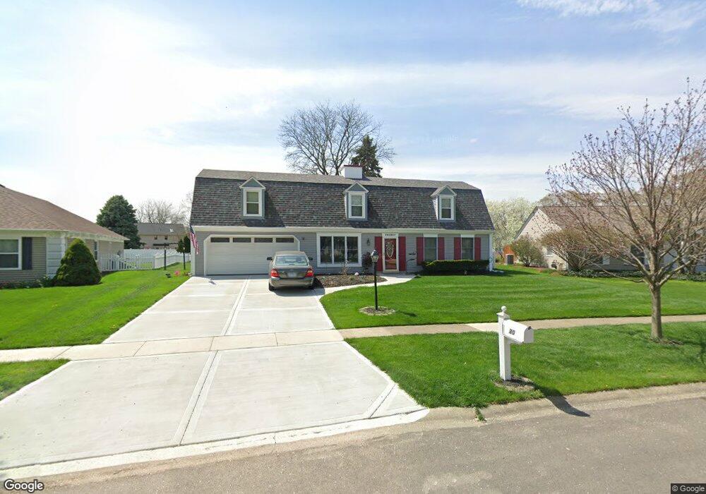
30 Sherwick Rd Oswego, IL 60543
Boulder Hill NeighborhoodEstimated Value: $349,000 - $415,000
5
Beds
3
Baths
2,651
Sq Ft
$148/Sq Ft
Est. Value
About This Home
This home is located at 30 Sherwick Rd, Oswego, IL 60543 and is currently estimated at $391,745, approximately $147 per square foot. 30 Sherwick Rd is a home located in Kendall County with nearby schools including Old Post Elementary School, Thompson Jr. High School, and Oswego High School.
Ownership History
Date
Name
Owned For
Owner Type
Purchase Details
Closed on
Mar 16, 2005
Sold by
Lakewood Springs Llc
Bought by
Stauffenberg Jason S and Stauffenberg Sarah L
Current Estimated Value
Home Financials for this Owner
Home Financials are based on the most recent Mortgage that was taken out on this home.
Original Mortgage
$208,100
Interest Rate
5.71%
Mortgage Type
Fannie Mae Freddie Mac
Purchase Details
Closed on
Jan 1, 1990
Create a Home Valuation Report for This Property
The Home Valuation Report is an in-depth analysis detailing your home's value as well as a comparison with similar homes in the area
Home Values in the Area
Average Home Value in this Area
Purchase History
| Date | Buyer | Sale Price | Title Company |
|---|---|---|---|
| Stauffenberg Jason S | $219,500 | Chicago Title Insurance Co | |
| -- | $135,000 | -- |
Source: Public Records
Mortgage History
| Date | Status | Borrower | Loan Amount |
|---|---|---|---|
| Previous Owner | Stauffenberg Jason S | $208,100 |
Source: Public Records
Tax History
| Year | Tax Paid | Tax Assessment Tax Assessment Total Assessment is a certain percentage of the fair market value that is determined by local assessors to be the total taxable value of land and additions on the property. | Land | Improvement |
|---|---|---|---|---|
| 2024 | $7,841 | $103,431 | $21,511 | $81,920 |
| 2023 | $7,933 | $100,418 | $20,884 | $79,534 |
| 2022 | $7,933 | $93,849 | $19,518 | $74,331 |
| 2021 | $7,645 | $87,709 | $18,241 | $69,468 |
| 2020 | $7,402 | $84,335 | $17,539 | $66,796 |
| 2019 | $7,100 | $79,965 | $17,539 | $62,426 |
| 2018 | $6,486 | $72,967 | $16,004 | $56,963 |
| 2017 | $6,279 | $67,250 | $14,750 | $52,500 |
| 2016 | $5,793 | $61,697 | $13,532 | $48,165 |
| 2015 | $5,577 | $57,127 | $12,530 | $44,597 |
| 2014 | -- | $54,930 | $12,048 | $42,882 |
| 2013 | -- | $57,821 | $12,682 | $45,139 |
Source: Public Records
Map
Nearby Homes
- 9 Cebold Dr
- 1300 Orchard Rd
- 3 Orchard Rd
- 123 Orchard Rd
- 2 Orchard Rd
- 135 Chesterfield Dr
- 22 Guilford Rd
- 521 Waterford Dr
- 133 River Mist Dr Unit 3
- 135 River Mist Dr Unit 2
- 116 River Mist Dr
- 510 Waterford Dr
- 2110 State Route 31
- 1415 State Route 31
- 1451 Vintage Dr
- 130 Fox Chase Dr S
- 2300 Light Rd Unit 202
- 2400 Light Rd Unit 207
- 2240 State Route 31
- 7.43 Acres Vacant La State Route 31
- 28 Sherwick Rd Unit 30
- 32 Sherwick Rd
- 34 Sherwick Rd
- 31 Sherwick Rd
- 26 Sherwick Rd
- 203 Northampton Dr
- 207 Northampton Dr
- 74 Brock Way Unit 30
- 21 Sherwick Rd
- 36 Sherwick Rd
- 76 Brock Way
- 78 Brock Way
- 37 Sherwick Rd
- 76 Brockway Dr
- 24 Sherwick Rd
- 78 Brockway Dr
- 209 Northampton Dr
- 72 Brock Way Unit 30
- 72 Brockway Dr
- 201 Northampton Dr
Your Personal Tour Guide
Ask me questions while you tour the home.