30 Stark Farm Rd Winhall, VT 05340
Estimated Value: $1,336,000 - $1,997,000
6
Beds
6
Baths
7,743
Sq Ft
$205/Sq Ft
Est. Value
About This Home
This home is located at 30 Stark Farm Rd, Winhall, VT 05340 and is currently estimated at $1,588,346, approximately $205 per square foot. 30 Stark Farm Rd is a home located in Bennington County with nearby schools including The Mountain School at Winhall.
Ownership History
Date
Name
Owned For
Owner Type
Purchase Details
Closed on
Jul 6, 2021
Sold by
Boswell Christina B
Bought by
Boswell Christina B
Current Estimated Value
Purchase Details
Closed on
May 3, 2018
Sold by
Tauber Michael
Bought by
Mackenzie Christina B
Purchase Details
Closed on
Mar 27, 2018
Sold by
Tauber Bonnie
Bought by
Tauber Michael
Purchase Details
Closed on
Mar 25, 2005
Sold by
Whitton John and Whitton Linda
Bought by
Tauber Michael and Tauber Bonnie
Create a Home Valuation Report for This Property
The Home Valuation Report is an in-depth analysis detailing your home's value as well as a comparison with similar homes in the area
Home Values in the Area
Average Home Value in this Area
Purchase History
| Date | Buyer | Sale Price | Title Company |
|---|---|---|---|
| Boswell Christina B | -- | -- | |
| Mackenzie Christina B | -- | -- | |
| Tauber Michael | -- | -- | |
| Tauber Michael | $830,000 | -- | |
| Tauber Michael | $830,000 | -- |
Source: Public Records
Mortgage History
| Date | Status | Borrower | Loan Amount |
|---|---|---|---|
| Closed | Mackenzie Christina B | $0 |
Source: Public Records
Tax History Compared to Growth
Tax History
| Year | Tax Paid | Tax Assessment Tax Assessment Total Assessment is a certain percentage of the fair market value that is determined by local assessors to be the total taxable value of land and additions on the property. | Land | Improvement |
|---|---|---|---|---|
| 2024 | $20,188 | $721,000 | $225,200 | $495,800 |
| 2023 | $17,369 | $721,000 | $225,200 | $495,800 |
| 2022 | $15,748 | $721,000 | $225,200 | $495,800 |
| 2021 | $16,615 | $721,000 | $225,200 | $495,800 |
| 2020 | $16,303 | $721,000 | $225,200 | $495,800 |
| 2019 | $14,645 | $690,000 | $225,200 | $464,800 |
| 2018 | $13,392 | $690,000 | $225,200 | $464,800 |
| 2016 | $14,079 | $690,000 | $225,200 | $464,800 |
Source: Public Records
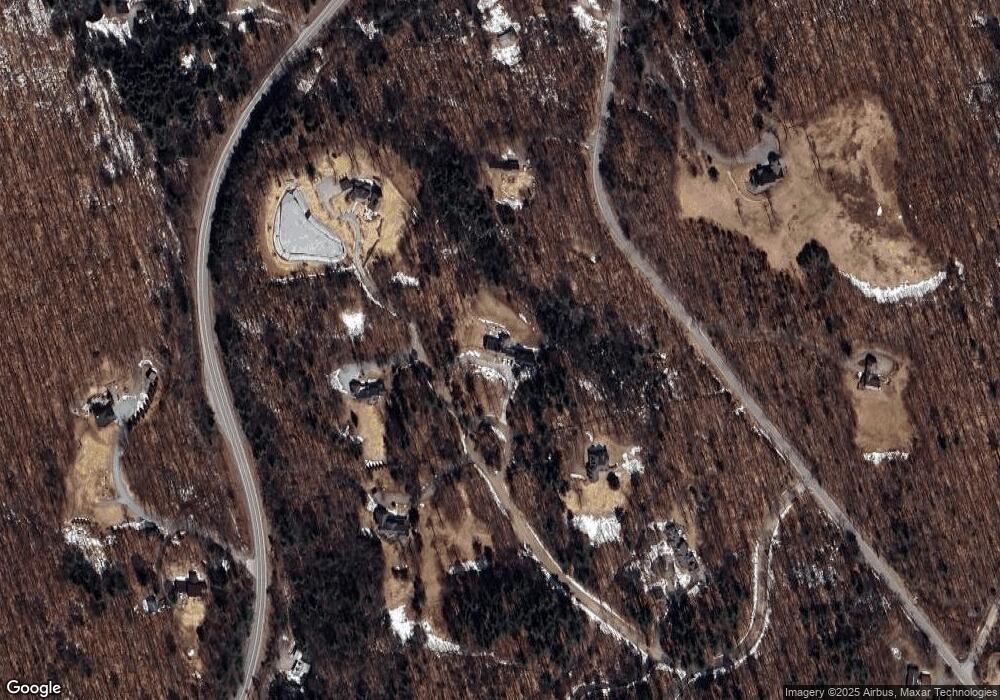
Map
Nearby Homes
- 143 Stratton Mountain Access Rd
- A6 Ridge Unit A6
- 2 Lower Stratton Valley Rd
- 248 French Hollow Rd
- 0 Stratton View Rd Unit 26
- 0 Stratton View Rd
- 0 Stratton View Rd Unit 25
- 44 Lake Rd
- 00 Ross Rd
- 9 Lower Taylor Hill Rd
- 73 Cranberry Hill Rd
- 16 Hunter Ridge Rd
- 46-48 Lower Taylor Hill Rd
- 19 Deer Run Rd
- 3 Strattonwald Rd
- 17 Signal Hill Rd
- 8 Silver Birch Rd Unit 8
- 88A Sylvan Ridge Rd
- 454 Mountain Rd
- 23 Valley View Rd
- 0 Stark Farm Rd
- 24 Stark Farm Rd
- 24 Old Town Rd
- 29 Stark Farm Rd
- 41 Stark Farm Rd
- 41 Stark Farm Rd Unit 13
- 16 Stark Farm Rd
- 18 Old Town Rd
- 350 Vermont 30
- 37 Old Town Rd
- 14 Old Town Rd
- 350 Vt Route 30
- 17 Old Town Rd
- 1 Jackson Hill
- 2 Jackson Hill
- 5 Corey Rd
- 10 Old Town Rd
- 11 Stark Farm Rd Unit 8
- 11 Stark Farm Rd
- 2 Corey Ln