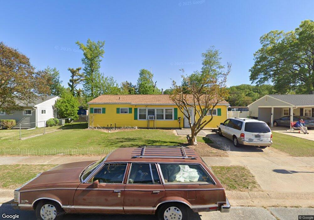
30 Steele Rd Dover, DE 19901
Kent Acres NeighborhoodEstimated Value: $190,000 - $245,000
3
Beds
1
Bath
1,200
Sq Ft
$178/Sq Ft
Est. Value
About This Home
This home is located at 30 Steele Rd, Dover, DE 19901 and is currently estimated at $214,043, approximately $178 per square foot. 30 Steele Rd is a home located in Kent County with nearby schools including W. Reily Brown Elementary School, Fred Fifer Middle School, and Caesar Rodney High School.
Ownership History
Date
Name
Owned For
Owner Type
Purchase Details
Closed on
Feb 2, 2022
Sold by
Edward Pereira
Bought by
Falise Donald A and Falise Laurietta M
Current Estimated Value
Home Financials for this Owner
Home Financials are based on the most recent Mortgage that was taken out on this home.
Original Mortgage
$105,600
Outstanding Balance
$84,230
Interest Rate
2.79%
Mortgage Type
New Conventional
Estimated Equity
$129,813
Purchase Details
Closed on
Jun 1, 1988
Bought by
Nace Pauline E
Create a Home Valuation Report for This Property
The Home Valuation Report is an in-depth analysis detailing your home's value as well as a comparison with similar homes in the area
Home Values in the Area
Average Home Value in this Area
Purchase History
| Date | Buyer | Sale Price | Title Company |
|---|---|---|---|
| Falise Donald A | $132,000 | Bonnie M Benson Pa | |
| Nace Pauline E | $39,200 | -- |
Source: Public Records
Mortgage History
| Date | Status | Borrower | Loan Amount |
|---|---|---|---|
| Open | Falise Donald A | $105,600 |
Source: Public Records
Tax History
| Year | Tax Paid | Tax Assessment Tax Assessment Total Assessment is a certain percentage of the fair market value that is determined by local assessors to be the total taxable value of land and additions on the property. | Land | Improvement |
|---|---|---|---|---|
| 2025 | $907 | $194,900 | $68,600 | $126,300 |
| 2024 | $910 | $194,900 | $68,600 | $126,300 |
| 2023 | $787 | $23,000 | $9,700 | $13,300 |
| 2022 | $965 | $23,000 | $9,700 | $13,300 |
| 2021 | $927 | $23,000 | $9,700 | $13,300 |
| 2020 | $901 | $23,000 | $9,700 | $13,300 |
| 2019 | $880 | $23,000 | $9,700 | $13,300 |
| 2018 | $861 | $23,000 | $9,700 | $13,300 |
| 2017 | $847 | $23,000 | $0 | $0 |
| 2016 | $780 | $23,000 | $0 | $0 |
| 2015 | $701 | $23,000 | $0 | $0 |
| 2014 | $694 | $23,000 | $0 | $0 |
Source: Public Records
Map
Nearby Homes
- 1 Edgewood Rd
- 89 Cooper Rd
- 89 S Shore Dr
- 100 S Shore Dr
- 1431 Joshua Clayton Rd
- 1694 S State St
- 135 N Fairfield Dr
- 97 Glenda Rd
- 54 Huntley Cir
- 207 Gunning Bedford Dr
- 79 Oakcrest Dr
- 248 Webbs Ln
- 272 Gunning Bedford Dr
- 311 Mimosa Ave
- 48 John Collins Cir
- 1679 S State St Unit A55
- 1679 S State St Unit A50
- 200 Beechwood Ave Unit 30
- 137 McBry Dr
- 265 Beechwood Ave
Your Personal Tour Guide
Ask me questions while you tour the home.