30 The Blvd Edgartown, MA 02539
Edgartown NeighborhoodEstimated Value: $1,305,000 - $1,634,000
2
Beds
2
Baths
2,840
Sq Ft
$516/Sq Ft
Est. Value
About This Home
This home is located at 30 The Blvd, Edgartown, MA 02539 and is currently estimated at $1,465,960, approximately $516 per square foot. 30 The Blvd is a home located in Dukes County with nearby schools including Edgartown Elementary School and Martha's Vineyard Regional High School.
Ownership History
Date
Name
Owned For
Owner Type
Purchase Details
Closed on
Apr 16, 2021
Sold by
Palma Shaun and Palma Kristen
Bought by
30 The Boulevard Rt and Palma
Current Estimated Value
Home Financials for this Owner
Home Financials are based on the most recent Mortgage that was taken out on this home.
Original Mortgage
$810,000
Outstanding Balance
$728,155
Interest Rate
3%
Mortgage Type
New Conventional
Estimated Equity
$737,805
Purchase Details
Closed on
Aug 31, 2020
Sold by
Palma Shaun and Palma Kristen
Bought by
30 The Boulevard Rt and Palma
Purchase Details
Closed on
Jun 26, 2020
Sold by
Shea Suzanne W and Palma Francis M
Bought by
Palma Shaun and Palma Kristen
Home Financials for this Owner
Home Financials are based on the most recent Mortgage that was taken out on this home.
Original Mortgage
$510,000
Interest Rate
3.2%
Mortgage Type
New Conventional
Create a Home Valuation Report for This Property
The Home Valuation Report is an in-depth analysis detailing your home's value as well as a comparison with similar homes in the area
Home Values in the Area
Average Home Value in this Area
Purchase History
| Date | Buyer | Sale Price | Title Company |
|---|---|---|---|
| 30 The Boulevard Rt | -- | None Available | |
| Palma Shaun | -- | None Available | |
| 30 The Boulevard Rt | -- | None Available | |
| Palma Shaun | $775,000 | None Available |
Source: Public Records
Mortgage History
| Date | Status | Borrower | Loan Amount |
|---|---|---|---|
| Open | Palma Shaun | $810,000 | |
| Previous Owner | Palma Shaun | $510,000 |
Source: Public Records
Tax History Compared to Growth
Tax History
| Year | Tax Paid | Tax Assessment Tax Assessment Total Assessment is a certain percentage of the fair market value that is determined by local assessors to be the total taxable value of land and additions on the property. | Land | Improvement |
|---|---|---|---|---|
| 2025 | $3,081 | $1,162,600 | $396,800 | $765,800 |
| 2024 | $2,624 | $1,029,100 | $396,800 | $632,300 |
| 2023 | $2,719 | $1,078,800 | $434,800 | $644,000 |
| 2022 | $2,795 | $922,371 | $415,871 | $506,500 |
| 2021 | $3,015 | $919,126 | $412,626 | $506,500 |
| 2020 | $2,674 | $798,257 | $378,257 | $420,000 |
| 2019 | $3,577 | $924,400 | $343,900 | $580,500 |
| 2018 | $2,716 | $871,100 | $343,900 | $527,200 |
| 2017 | $2,632 | $741,400 | $343,900 | $397,500 |
| 2016 | $2,571 | $710,200 | $343,900 | $366,300 |
| 2015 | $2,280 | $657,000 | $343,900 | $313,100 |
Source: Public Records
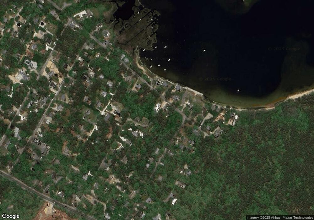
Map
Nearby Homes
- 30 the Boulevard
- 24 the Boulevard
- 24 The Blvd
- 290 and 29 The Blvd
- 23 the Boulevard
- 61 19th St N
- 65 19th St N
- 31 the Boulevard
- 27 the Boulevard
- 27 The Blvd
- 25 The Blvd
- 25 the Boulevard
- 19 The Blvd
- 19 the Boulevard
- 38 the Boulevard
- 15 the Boulevard
- 57 19th St N
- 42 the Boulevard
- 65 Tower Ln
- 67 21st St N