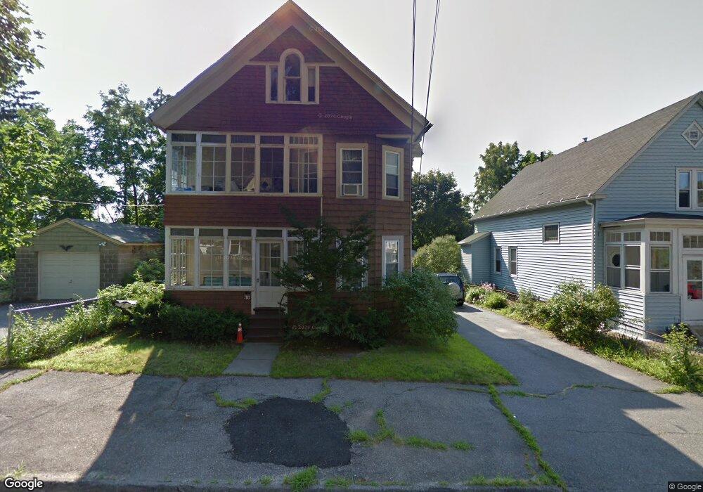
30 Tower St Worcester, MA 01606
Indian Lake East NeighborhoodEstimated Value: $460,787 - $610,000
5
Beds
2
Baths
2,454
Sq Ft
$223/Sq Ft
Est. Value
About This Home
This home is located at 30 Tower St, Worcester, MA 01606 and is currently estimated at $547,447, approximately $223 per square foot. 30 Tower St is a home located in Worcester County with nearby schools including Francis J. McGrath Elementary School, Jacob Hiatt Magnet School, and Chandler Magnet.
Ownership History
Date
Name
Owned For
Owner Type
Purchase Details
Closed on
Jun 19, 2015
Sold by
Perron Ft and Perron
Bought by
Perron Philip G
Current Estimated Value
Purchase Details
Closed on
Apr 4, 2012
Sold by
Perron Eliane M
Bought by
Perron Ft and Perron
Purchase Details
Closed on
Oct 31, 2011
Sold by
Perron Robert G and Perron Eliane M
Bought by
Perron Eliane M
Create a Home Valuation Report for This Property
The Home Valuation Report is an in-depth analysis detailing your home's value as well as a comparison with similar homes in the area
Home Values in the Area
Average Home Value in this Area
Purchase History
| Date | Buyer | Sale Price | Title Company |
|---|---|---|---|
| Perron Philip G | $150,000 | -- | |
| Perron Ft | -- | -- | |
| Perron Eliane M | -- | -- |
Source: Public Records
Tax History
| Year | Tax Paid | Tax Assessment Tax Assessment Total Assessment is a certain percentage of the fair market value that is determined by local assessors to be the total taxable value of land and additions on the property. | Land | Improvement |
|---|---|---|---|---|
| 2025 | $5,651 | $428,400 | $97,900 | $330,500 |
| 2024 | $5,400 | $392,700 | $97,900 | $294,800 |
| 2023 | $5,053 | $352,400 | $85,100 | $267,300 |
| 2022 | $4,657 | $306,200 | $68,100 | $238,100 |
| 2021 | $4,257 | $261,500 | $54,500 | $207,000 |
| 2020 | $4,019 | $236,400 | $54,500 | $181,900 |
| 2019 | $4,036 | $224,200 | $49,000 | $175,200 |
| 2018 | $3,965 | $209,700 | $49,000 | $160,700 |
| 2017 | $3,796 | $197,500 | $49,000 | $148,500 |
| 2016 | $3,761 | $182,500 | $36,400 | $146,100 |
| 2015 | $3,663 | $182,500 | $36,400 | $146,100 |
| 2014 | -- | $182,500 | $36,400 | $146,100 |
Source: Public Records
Map
Nearby Homes
- 15 Boardman St
- 31 Boardman St
- 6 Roald St
- 44 Boardman St
- 6 Ashburnham Rd
- 577 Grove St
- 10 Dryden St Unit 7
- 20B Edgeworth St
- 14 Balder Rd
- 15 Ericsson St
- 63 North St Unit D
- 63 North St Unit C
- 63 North St Unit B
- 63 North St Unit A
- 18 Gosnold St
- 100 Burncoat St
- 27 Harlow St
- 40 Westwood Dr
- 25 Chester St
- 39 Whitmarsh Ave
Your Personal Tour Guide
Ask me questions while you tour the home.