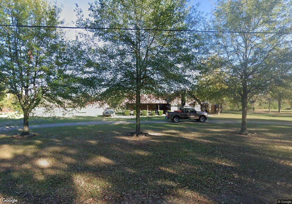
300 Belpine Loop Broken Bow, OK 74728
Estimated Value: $135,005 - $228,000
2
Beds
1
Bath
768
Sq Ft
$246/Sq Ft
Est. Value
About This Home
This home is located at 300 Belpine Loop, Broken Bow, OK 74728 and is currently estimated at $189,001, approximately $246 per square foot. 300 Belpine Loop is a home with nearby schools including Dierks Elementary School, Bennett Elementary School, and Rector Johnson Middle School.
Ownership History
Date
Name
Owned For
Owner Type
Purchase Details
Closed on
Nov 29, 2014
Sold by
Axton Jim Lane
Bought by
Axton Jodie Nicole
Current Estimated Value
Purchase Details
Closed on
Sep 28, 2011
Sold by
Storey Hansford Lee and Storey Melanie Sue
Bought by
Axton Jim Lane and Axton Jodi Nicole
Purchase Details
Closed on
Sep 15, 2000
Sold by
Storey Hansford and Storey Melane
Bought by
Coleman Mark and Coleman Lisa
Purchase Details
Closed on
Dec 28, 1999
Sold by
Williams Mary and Williams Clifford
Bought by
Storey Hansford and Storey Melani
Purchase Details
Closed on
Nov 18, 1999
Bought by
Williams Mary and Williams Clifford
Create a Home Valuation Report for This Property
The Home Valuation Report is an in-depth analysis detailing your home's value as well as a comparison with similar homes in the area
Home Values in the Area
Average Home Value in this Area
Purchase History
| Date | Buyer | Sale Price | Title Company |
|---|---|---|---|
| Axton Jodie Nicole | -- | -- | |
| Axton Jodi Nicole | -- | None Available | |
| Axton Jim Lane | -- | None Available | |
| Coleman Mark | $5,000 | -- | |
| Storey Hansford | $5,500 | -- | |
| Williams Mary | -- | -- |
Source: Public Records
Tax History Compared to Growth
Tax History
| Year | Tax Paid | Tax Assessment Tax Assessment Total Assessment is a certain percentage of the fair market value that is determined by local assessors to be the total taxable value of land and additions on the property. | Land | Improvement |
|---|---|---|---|---|
| 2024 | $541 | $6,509 | $521 | $5,988 |
| 2023 | $530 | $6,200 | $499 | $5,701 |
| 2022 | $505 | $5,904 | $477 | $5,427 |
| 2021 | $483 | $5,623 | $457 | $5,166 |
| 2020 | $466 | $5,355 | $438 | $4,917 |
| 2019 | $443 | $5,100 | $413 | $4,687 |
| 2018 | $413 | $4,857 | $389 | $4,468 |
| 2017 | $398 | $4,626 | $367 | $4,259 |
| 2016 | $380 | $4,406 | $770 | $3,636 |
| 2015 | $369 | $4,406 | $770 | $3,636 |
| 2014 | $371 | $4,406 | $770 | $3,636 |
Source: Public Records
Map
Nearby Homes
- 707 S Mcclure St
- 509 Clay St
- 2 Beaver St
- 113 Highmeadow Cir
- 185 Marlin Dr
- 408 Wake St
- 309 E Memorial St
- 510 W Adams St
- 205 Wallace St
- 75 Redbud Springs Trail
- 81 Annie Oak Trail
- 25 Kuykendall Rd
- 025 Kuykendall Rd
- 011 Kuykendall Rd
- 010 Kuykendall Rd
- 008 Kuykendall Rd
- 009 Kuykendall Rd
- 005 Kuykendall Rd
- 006 Kuykendall Rd
- 007 Kuykendall Rd
- 3737 Old Broken Bow Hwy
- 5677 Old Broken Bow Hwy
- 146 Blossom Ln
- 164 Daisy Rd
- 197 Pine Terrace Rd
- 467 Daisy Rd
- 107 Lenora St
- 105 Lenora St
- 103 Lenora St
- 3861 S Park Dr
- 2711 Slater Rd
- 102 Lenora St
- 1001 Wake St
- 1001 Wake St
- 100 Lenora St
- 909 Wake St
- 1011 Wake St
- 1013 Wake St
- 1013 Wake St
- 211 Airport Rd
