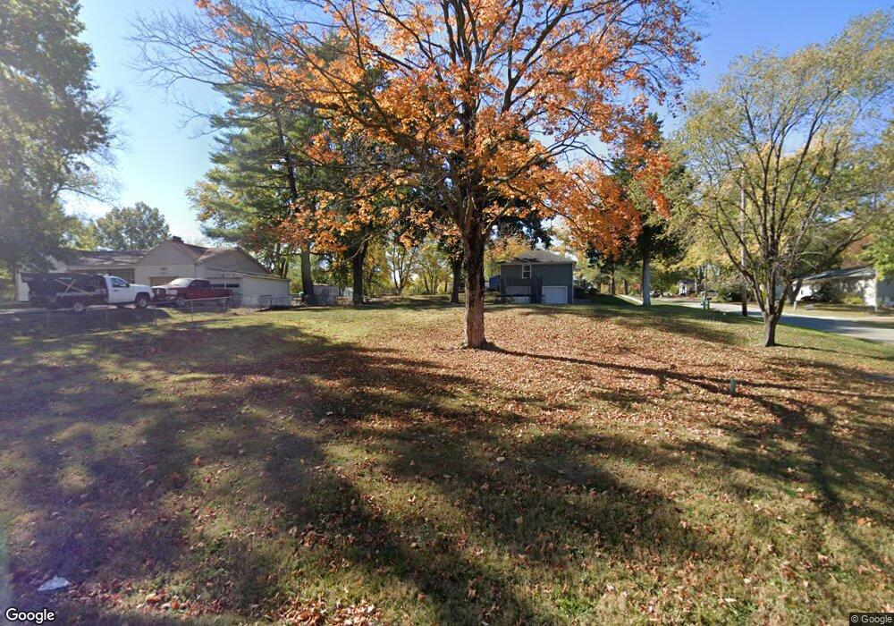
300 Campbell Dr Liberty, MO 64068
Estimated Value: $63,000 - $298,000
2
Beds
1
Bath
--
Sq Ft
10,454
Sq Ft Lot
About This Home
This home is located at 300 Campbell Dr, Liberty, MO 64068 and is currently estimated at $180,500. 300 Campbell Dr is a home located in Clay County with nearby schools including Alexander Doniphan Elementary School, Discovery Middle School, and Liberty High School.
Ownership History
Date
Name
Owned For
Owner Type
Purchase Details
Closed on
Mar 18, 2022
Sold by
Ryan Steffen William
Bought by
Steffen Erin Rachelle
Current Estimated Value
Purchase Details
Closed on
Jan 22, 2016
Sold by
Price Jeffrey and Price Michelle
Bought by
Steffen William R and Steffen Erin
Home Financials for this Owner
Home Financials are based on the most recent Mortgage that was taken out on this home.
Original Mortgage
$20,000
Interest Rate
3.98%
Mortgage Type
Purchase Money Mortgage
Purchase Details
Closed on
May 11, 2010
Sold by
Beneficial Mortgage Company Of Missouri
Bought by
Carannson Properties Llc
Purchase Details
Closed on
Jan 15, 2010
Sold by
Rader Kenneth R and Rader Delores E
Bought by
Beneficial Mortgage Co Of Missouri Inc
Create a Home Valuation Report for This Property
The Home Valuation Report is an in-depth analysis detailing your home's value as well as a comparison with similar homes in the area
Home Values in the Area
Average Home Value in this Area
Purchase History
| Date | Buyer | Sale Price | Title Company |
|---|---|---|---|
| Steffen Erin Rachelle | -- | None Listed On Document | |
| Steffen William R | -- | Thomson Affinity Title Llc | |
| Price Jeffrey | -- | Thomson Affinity Title Llc | |
| Carannson Properties Llc | $29,300 | None Available | |
| Beneficial Mortgage Co Of Missouri Inc | $42,450 | None Available |
Source: Public Records
Mortgage History
| Date | Status | Borrower | Loan Amount |
|---|---|---|---|
| Previous Owner | Steffen William R | $20,000 |
Source: Public Records
Tax History
| Year | Tax Paid | Tax Assessment Tax Assessment Total Assessment is a certain percentage of the fair market value that is determined by local assessors to be the total taxable value of land and additions on the property. | Land | Improvement |
|---|---|---|---|---|
| 2025 | $310 | $4,200 | -- | -- |
| 2024 | $310 | $4,200 | -- | -- |
| 2023 | $315 | $4,200 | $0 | $0 |
| 2022 | $318 | $4,200 | $0 | $0 |
| 2021 | $320 | $4,200 | $0 | $0 |
| 2020 | $339 | $4,200 | $0 | $0 |
| 2019 | $339 | $4,200 | $0 | $0 |
| 2018 | $177 | $2,150 | $0 | $0 |
| 2017 | $175 | $2,150 | $2,150 | $0 |
| 2016 | $175 | $2,150 | $2,150 | $0 |
| 2015 | $175 | $2,150 | $2,150 | $0 |
| 2014 | $175 | $2,150 | $2,150 | $0 |
Source: Public Records
Map
Nearby Homes
- 405 Wherritt Ln
- 1561 Parkside Dr
- 1849 Arbor Trail
- 1845 Arbor Trail
- 1975 Harvest Rd
- 1979 Harvest Rd
- 1971 Harvest Rd
- 2153 Black Walnut Dr
- 2152 Black Walnut Dr
- 2157 Black Walnut Dr
- 1836 Green Meadow Dr
- 1929 Longview Dr
- 1985 Longview Dr
- 1916 Longview Dr
- 1989 Longview Dr
- 2156 Black Walnut Dr
- 1856 Arbor Trail
- 1829 Green Meadow Dr
- 1984 Longview Dr
- 0 2185 Heritage Ct Unit HMS2602407
- 302 Campbell Dr
- 405 Norton Ave
- 406 Norton Ave
- 301 Campbell Dr
- 303 Campbell Dr
- 215 Campbell Dr
- 305 Campbell Dr
- 304 Campbell Dr
- 404 Norton Ave
- 403 Norton Ave
- 213 Campbell Dr
- 402 Norton Ave
- 401 Norton Ave
- 306 Campbell Dr
- 303 Bonnie Ln
- 210 Campbell Dr
- 400 Norton Ave
- 307 Campbell Dr
- 308 Campbell Dr
- 309 Bonnie Ln
Your Personal Tour Guide
Ask me questions while you tour the home.