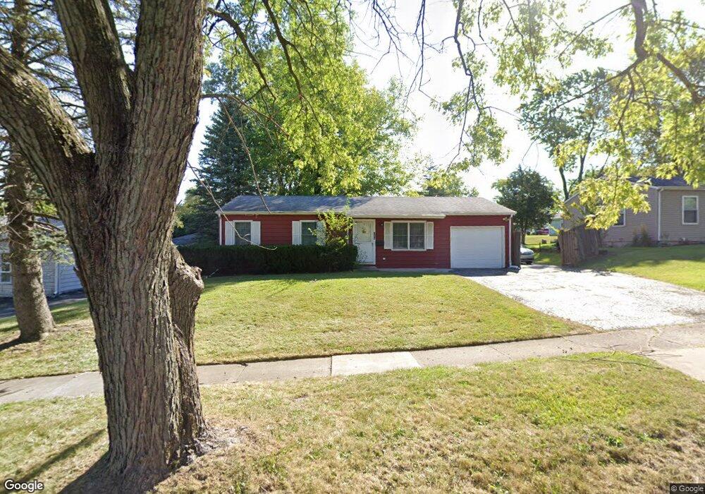
300 Macgregor Rd Lockport, IL 60441
Estimated Value: $209,000 - $249,000
2
Beds
1
Bath
1,152
Sq Ft
$201/Sq Ft
Est. Value
About This Home
This home is located at 300 Macgregor Rd, Lockport, IL 60441 and is currently estimated at $231,637, approximately $201 per square foot. 300 Macgregor Rd is a home located in Will County with nearby schools including Walsh Elementary School, Ludwig Elementary School, and Reed Elementary School.
Ownership History
Date
Name
Owned For
Owner Type
Purchase Details
Closed on
Jul 29, 2019
Sold by
Simikoski Brian and Simikoski Cheryl
Bought by
Simikoski Alex
Current Estimated Value
Purchase Details
Closed on
Jun 23, 2017
Sold by
Hamilton G June and Hamilton Jill Diana
Bought by
Simikoski Alex and Simikoski Brian
Purchase Details
Closed on
Mar 12, 2003
Sold by
Hamilton Gladys June and Hamilton June G
Bought by
Hamilton G June and Hamilton Jill Diane
Create a Home Valuation Report for This Property
The Home Valuation Report is an in-depth analysis detailing your home's value as well as a comparison with similar homes in the area
Home Values in the Area
Average Home Value in this Area
Purchase History
| Date | Buyer | Sale Price | Title Company |
|---|---|---|---|
| Simikoski Alex | -- | Attorney | |
| Simikoski Alex | $105,000 | Old Republic Title | |
| Hamilton G June | -- | -- |
Source: Public Records
Tax History Compared to Growth
Tax History
| Year | Tax Paid | Tax Assessment Tax Assessment Total Assessment is a certain percentage of the fair market value that is determined by local assessors to be the total taxable value of land and additions on the property. | Land | Improvement |
|---|---|---|---|---|
| 2024 | $5,058 | $65,756 | $26,720 | $39,036 |
| 2023 | $5,058 | $59,032 | $23,988 | $35,044 |
| 2022 | $4,458 | $55,065 | $22,376 | $32,689 |
| 2021 | $4,200 | $51,748 | $21,028 | $30,720 |
| 2020 | $4,098 | $50,047 | $20,337 | $29,710 |
| 2019 | $2,977 | $47,438 | $19,277 | $28,161 |
| 2018 | $2,739 | $43,854 | $17,821 | $26,033 |
| 2017 | $2,568 | $41,399 | $16,823 | $24,576 |
| 2016 | $2,384 | $38,800 | $15,767 | $23,033 |
| 2015 | $1,889 | $34,183 | $13,891 | $20,292 |
| 2014 | $1,889 | $31,651 | $12,862 | $18,789 |
| 2013 | $1,889 | $32,296 | $13,124 | $19,172 |
Source: Public Records
Map
Nearby Homes
- 308 Macgregor Rd
- 1022 Highland Ave
- 1108 E 9th St
- 936 Treeline Ct Unit 5B
- 510 N Lockwood Dr
- 9.5 Acres S Archer Ave
- 605 Gloria St
- 613 E 3rd St
- 602 Stephanie Dr
- 134 S Jefferson St
- 540 E 4th St
- 0 151st & MacGregor St Unit MRD11873272
- 0 Smith Rd South of 135th St Unit MRD12274096
- 0 N State St Unit 10995892
- 701 E 7th St
- 219 S Washington St
- 118 N State St
- 120 N State St
- 14903 S Preserve Dr
- 327 S State St
- 208 Macgregor Rd
- 304 Macgregor Rd
- 205 Laurie Dr
- 301 Laurie Dr
- 204 Macgregor Rd Unit 2
- 306 Macgregor Rd
- 203 Laurie Dr
- 303 Laurie Dr Unit 2
- 301 Macgregor Rd
- 209 Macgregor Rd
- 303 Macgregor Rd
- 201 Laurie Dr
- 305 Macgregor Rd
- 207 Macgregor Rd Unit 1
- 305 Laurie Dr
- 307 Macgregor Rd
- 205 Macgregor Rd
- 310 Macgregor Rd
- 307 Laurie Dr
- 1104 Highland Ave