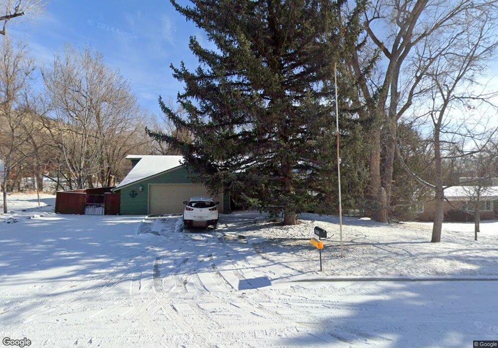
3003 W Macdonald Dr Billings, MT 59102
North Central Billings NeighborhoodEstimated Value: $431,000 - $517,000
4
Beds
3
Baths
1,811
Sq Ft
$258/Sq Ft
Est. Value
About This Home
This home is located at 3003 W Macdonald Dr, Billings, MT 59102 and is currently estimated at $468,059, approximately $258 per square foot. 3003 W Macdonald Dr is a home located in Yellowstone County with nearby schools including Poly Drive School, Will James Junior High School, and Billings Senior High School.
Ownership History
Date
Name
Owned For
Owner Type
Purchase Details
Closed on
Mar 26, 2009
Sold by
Kahn Patricia A
Bought by
Kahn Frederick W and Kahn Patricia A
Current Estimated Value
Home Financials for this Owner
Home Financials are based on the most recent Mortgage that was taken out on this home.
Original Mortgage
$134,000
Interest Rate
5.15%
Mortgage Type
New Conventional
Create a Home Valuation Report for This Property
The Home Valuation Report is an in-depth analysis detailing your home's value as well as a comparison with similar homes in the area
Home Values in the Area
Average Home Value in this Area
Purchase History
| Date | Buyer | Sale Price | Title Company |
|---|---|---|---|
| Kahn Frederick W | -- | None Available |
Source: Public Records
Mortgage History
| Date | Status | Borrower | Loan Amount |
|---|---|---|---|
| Closed | Kahn Frederick W | $134,000 |
Source: Public Records
Tax History Compared to Growth
Tax History
| Year | Tax Paid | Tax Assessment Tax Assessment Total Assessment is a certain percentage of the fair market value that is determined by local assessors to be the total taxable value of land and additions on the property. | Land | Improvement |
|---|---|---|---|---|
| 2025 | $3,643 | $489,100 | $52,830 | $436,270 |
| 2024 | $3,643 | $384,000 | $50,276 | $333,724 |
| 2023 | $4,409 | $384,000 | $50,276 | $333,724 |
| 2022 | $4,088 | $307,600 | $0 | $0 |
| 2021 | $3,927 | $307,600 | $0 | $0 |
| 2020 | $3,779 | $280,000 | $0 | $0 |
| 2019 | $3,639 | $280,000 | $0 | $0 |
| 2018 | $3,420 | $252,800 | $0 | $0 |
| 2017 | $3,344 | $252,800 | $0 | $0 |
| 2016 | $3,273 | $249,000 | $0 | $0 |
| 2015 | $3,217 | $249,000 | $0 | $0 |
| 2014 | $3,247 | $134,673 | $0 | $0 |
Source: Public Records
Map
Nearby Homes
- 2911 E Macdonald Dr
- 2644 Rimrock Rd
- 2646 Rimrock Rd
- 2907 Brentwood Ln
- 2730 Gregory Dr S
- 2736 Palm Dr
- 2748 Palm Dr
- 3540 Masterson Cir
- 3135 Sycamore Ln
- 2717 Patricia Ln
- 2815 Palm Dr
- 2422 Brentwood Ln
- 2420 Elizabeth St
- 2516 Lyndale Ln
- 3441 Masterson Cir
- 3065 Gregory Dr W
- 2206 Green Terrace Dr
- 3311 Harlou Dr
- 2042 Green Terrace Dr
- 2820 Boulder Ave
- 2921 W Macdonald Dr
- 2928 W Macdonald Dr
- 2922 W Macdonald Dr
- 2915 W Macdonald Dr
- 2916 W Macdonald Dr
- 3016 W Macdonald Dr
- 3022 W Macdonald Dr
- 2944 E Macdonald Dr
- 2925 Gregory Dr
- 2907 W Macdonald Dr
- 2946 E Macdonald Dr
- 2910 W Macdonald Dr
- 3100 W Macdonald Dr
- 3015 Gregory Dr
- 3003 E Macdonald Dr
- 2919 Gregory Dr
- 2623 Rimrock Rd
- 3104 E Macdonald Dr
- 3009 E Macdonald Dr
- 2900 W Macdonald Dr