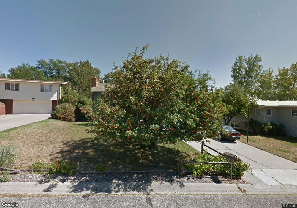
3009 Mcbride St Billings, MT 59102
North Central Billings NeighborhoodEstimated Value: $360,288 - $400,000
3
Beds
3
Baths
2,178
Sq Ft
$174/Sq Ft
Est. Value
About This Home
This home is located at 3009 Mcbride St, Billings, MT 59102 and is currently estimated at $379,072, approximately $174 per square foot. 3009 Mcbride St is a home located in Yellowstone County with nearby schools including Poly Drive School, Will James Junior High School, and Billings Senior High School.
Ownership History
Date
Name
Owned For
Owner Type
Purchase Details
Closed on
Jul 10, 2024
Sold by
Allen Kelsey Clark
Bought by
K & K Allen Family Rvoc Tr
Current Estimated Value
Purchase Details
Closed on
Dec 8, 2015
Sold by
Bekke Nancy L
Bought by
Allen Kelsey Clark
Home Financials for this Owner
Home Financials are based on the most recent Mortgage that was taken out on this home.
Original Mortgage
$163,975
Interest Rate
3.25%
Mortgage Type
FHA
Create a Home Valuation Report for This Property
The Home Valuation Report is an in-depth analysis detailing your home's value as well as a comparison with similar homes in the area
Home Values in the Area
Average Home Value in this Area
Purchase History
| Date | Buyer | Sale Price | Title Company |
|---|---|---|---|
| K & K Allen Family Rvoc Tr | -- | None Listed On Document | |
| Allen Kelsey Clark | -- | Stewart Title |
Source: Public Records
Mortgage History
| Date | Status | Borrower | Loan Amount |
|---|---|---|---|
| Previous Owner | Allen Kelsey Clark | $163,975 |
Source: Public Records
Tax History Compared to Growth
Tax History
| Year | Tax Paid | Tax Assessment Tax Assessment Total Assessment is a certain percentage of the fair market value that is determined by local assessors to be the total taxable value of land and additions on the property. | Land | Improvement |
|---|---|---|---|---|
| 2025 | $2,895 | $356,200 | $61,735 | $294,465 |
| 2024 | $2,895 | $292,600 | $58,527 | $234,073 |
| 2023 | $2,912 | $292,600 | $58,527 | $234,073 |
| 2022 | $2,669 | $235,300 | $0 | $0 |
| 2021 | $2,534 | $235,300 | $0 | $0 |
| 2020 | $2,685 | $241,000 | $0 | $0 |
| 2019 | $2,563 | $241,000 | $0 | $0 |
| 2018 | $2,533 | $234,100 | $0 | $0 |
| 2017 | $2,460 | $234,100 | $0 | $0 |
| 2016 | $2,111 | $201,100 | $0 | $0 |
| 2015 | $2,118 | $207,000 | $0 | $0 |
| 2014 | $2,113 | $110,399 | $0 | $0 |
Source: Public Records
Map
Nearby Homes
- 3237 Rimrock Rd
- 3005 Edmond St
- 3313 Rimrock Rd
- 2825 Racquet Dr Unit 7
- 3332 Rimrock Rd
- 3106 Forsythia Blvd
- 2745 Zimmerman Trail
- 2614 Silver Blvd
- 2786 Zimmerman Trail
- 3065 Gregory Dr W
- 3107 Poly Dr
- 3311 Harlou Dr
- 3441 Poly Dr Unit 19
- 3441 Poly Dr Unit 15
- 2510 Zimmerman Trail
- 2815 Palm Dr
- 2940 Us Highway 3
- 2912 Stinson Ave
- 3135 Sycamore Ln
- 3117 Alpine Dr
- 3015 Mcbride St
- 3223 Flora Ave
- 3008 Brayton St
- 3016 Brayton St
- 3000 Brayton St
- 3237 Flora Ave
- 3206 Aljema Ave
- 3024 Mcbride St
- 3101 Mcbride St
- 3209 Rimrock Rd
- 3106 Brayton St
- 3237 Aljema Ave
- 3205 Rimrock Rd
- 3109 Mcbride St
- 3235 Rimrock Rd
- 3142 Marguerite Blvd
- 3013 Farnam St
- 3247 Flora Ave
- 3146 Marguerite Blvd
- 3015 Farnam St