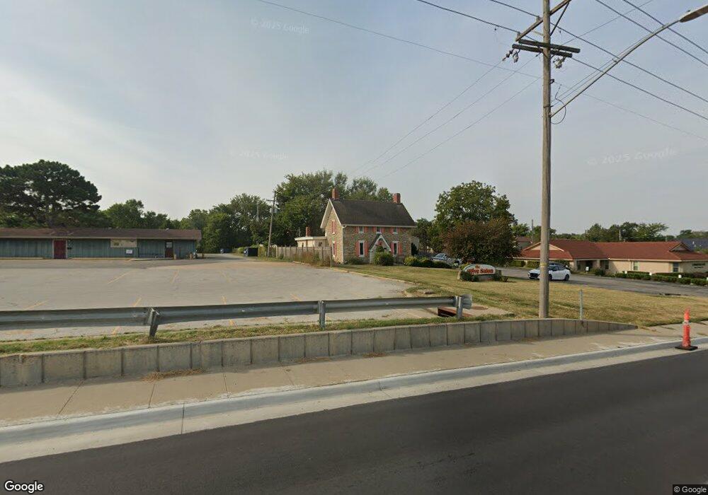
3009 W 6th St Lawrence, KS 66049
Sunset Hills NeighborhoodEstimated Value: $586,635
--
Bed
--
Bath
2,331
Sq Ft
$252/Sq Ft
Est. Value
About This Home
This home is located at 3009 W 6th St, Lawrence, KS 66049 and is currently estimated at $586,635, approximately $251 per square foot. 3009 W 6th St is a home located in Douglas County with nearby schools including Sunset Hill Elementary School, West Middle School, and Lawrence Free State High School.
Ownership History
Date
Name
Owned For
Owner Type
Purchase Details
Closed on
Feb 7, 2022
Sold by
Burns Adrian Marshall and Burns Kimly K
Bought by
Cacti Land Llc
Current Estimated Value
Purchase Details
Closed on
Jun 18, 2007
Sold by
Doudna Joda Donnett and Hudson Gregory S
Bought by
Burns Adrian M and Burns Kimly K
Home Financials for this Owner
Home Financials are based on the most recent Mortgage that was taken out on this home.
Original Mortgage
$307,000
Interest Rate
3.43%
Mortgage Type
Future Advance Clause Open End Mortgage
Create a Home Valuation Report for This Property
The Home Valuation Report is an in-depth analysis detailing your home's value as well as a comparison with similar homes in the area
Home Values in the Area
Average Home Value in this Area
Purchase History
| Date | Buyer | Sale Price | Title Company |
|---|---|---|---|
| Cacti Land Llc | -- | Kansas Secured Title | |
| Burns Adrian M | -- | Kansas Secured Title |
Source: Public Records
Mortgage History
| Date | Status | Borrower | Loan Amount |
|---|---|---|---|
| Previous Owner | Burns Adrian M | $307,000 |
Source: Public Records
Tax History Compared to Growth
Tax History
| Year | Tax Paid | Tax Assessment Tax Assessment Total Assessment is a certain percentage of the fair market value that is determined by local assessors to be the total taxable value of land and additions on the property. | Land | Improvement |
|---|---|---|---|---|
| 2025 | $16,477 | $133,175 | $57,475 | $75,700 |
| 2024 | $16,477 | $128,425 | $56,250 | $72,175 |
| 2023 | $16,322 | $124,476 | $56,058 | $68,418 |
| 2022 | $10,282 | $77,900 | $55,375 | $22,525 |
| 2021 | $10,520 | $77,901 | $52,608 | $25,293 |
| 2020 | $10,766 | $80,125 | $55,375 | $24,750 |
| 2019 | $10,755 | $80,125 | $54,375 | $25,750 |
| 2018 | $10,419 | $77,050 | $54,375 | $22,675 |
| 2017 | $10,379 | $75,900 | $55,575 | $20,325 |
| 2016 | $10,019 | $76,501 | $22,613 | $53,888 |
| 2015 | -- | $74,176 | $24,938 | $49,238 |
| 2014 | -- | $74,176 | $32,658 | $41,518 |
Source: Public Records
Map
Nearby Homes
- 800 Madeline Ln
- 3228 W 9th St
- 816 Crestline Dr
- 923 Crestline Dr
- 1008 Lawrence Ave
- 1014 Lawrence Ave
- 1104 Lawrence Ave
- 2609 Westdale Rd
- 214 Lawrence Ave
- 3025 Wellington Ct
- 3507 W 10th St
- 503 Abilene St
- 2600 Oxford Rd
- 3404 Oxford Ct
- 1214 Crestline Dr
- 3600 Parkview Ct
- 3607 Crestview Rd
- 3408 W 13th St
- 204 Fall Creek Rd
- 3010 Bainbridge Cir
- 3008 Bainbridge Cir
- 3012 Bainbridge Cir
- 3006 Bainbridge Cir
- 3004 Bainbridge Cir
- 3002 Bainbridge Cir
- 3000 Bainbridge Cir
- 3014 Bainbridge Cir
- 3001 Bainbridge Cir
- 3003 Bainbridge Cir
- 3005 Bainbridge Cir
- 3007 Bainbridge Cir
- 3011 Bainbridge Cir
- 3024 Bainbridge Cir
- 3013 Bainbridge Cir
- 3026 Bainbridge Cir
- 3015 Bainbridge Cir
- 3028 Bainbridge Cir
- 3010 W 7th St
- 3017 Bainbridge Cir