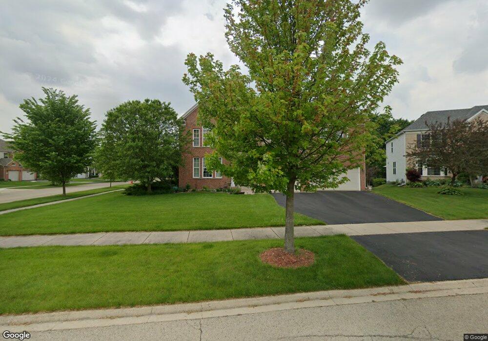
301 Addison Ct Oswego, IL 60543
South Oswego NeighborhoodEstimated Value: $575,076 - $606,000
5
Beds
3
Baths
3,839
Sq Ft
$155/Sq Ft
Est. Value
About This Home
This home is located at 301 Addison Ct, Oswego, IL 60543 and is currently estimated at $593,269, approximately $154 per square foot. 301 Addison Ct is a home located in Kendall County with nearby schools including Southbury Elementary School, Traughber Junior High School, and Oswego High School.
Ownership History
Date
Name
Owned For
Owner Type
Purchase Details
Closed on
Jul 28, 2016
Sold by
Stark Robert C and Stark Laura M
Bought by
Stark Robert C and Stark Laura M
Current Estimated Value
Purchase Details
Closed on
Nov 29, 2006
Sold by
Newmann Homes Inc
Bought by
Stark Robert C and Stark Laura M
Home Financials for this Owner
Home Financials are based on the most recent Mortgage that was taken out on this home.
Original Mortgage
$214,733
Interest Rate
6.28%
Mortgage Type
Purchase Money Mortgage
Create a Home Valuation Report for This Property
The Home Valuation Report is an in-depth analysis detailing your home's value as well as a comparison with similar homes in the area
Home Values in the Area
Average Home Value in this Area
Purchase History
| Date | Buyer | Sale Price | Title Company |
|---|---|---|---|
| Stark Robert C | -- | None Available | |
| Stark Robert C | $434,500 | Chicago Title Insurance Co |
Source: Public Records
Mortgage History
| Date | Status | Borrower | Loan Amount |
|---|---|---|---|
| Previous Owner | Stark Robert C | $214,733 |
Source: Public Records
Tax History Compared to Growth
Tax History
| Year | Tax Paid | Tax Assessment Tax Assessment Total Assessment is a certain percentage of the fair market value that is determined by local assessors to be the total taxable value of land and additions on the property. | Land | Improvement |
|---|---|---|---|---|
| 2024 | $13,165 | $169,597 | $29,975 | $139,622 |
| 2023 | $12,013 | $148,769 | $26,294 | $122,475 |
| 2022 | $12,013 | $139,037 | $24,574 | $114,463 |
| 2021 | $11,265 | $126,397 | $22,340 | $104,057 |
| 2020 | $10,700 | $119,242 | $21,075 | $98,167 |
| 2019 | $10,596 | $116,383 | $21,075 | $95,308 |
| 2018 | $11,051 | $119,111 | $21,569 | $97,542 |
| 2017 | $10,797 | $111,319 | $20,158 | $91,161 |
| 2016 | $10,351 | $105,516 | $19,107 | $86,409 |
| 2015 | $10,204 | $99,543 | $18,025 | $81,518 |
| 2014 | -- | $93,714 | $24,034 | $69,680 |
| 2013 | -- | $93,714 | $24,034 | $69,680 |
Source: Public Records
Map
Nearby Homes
- 621 Mansfield Way
- 633 Mansfield Way
- 704 Pomfret Ct
- 703 Pomfret Ct
- 420 Bower Ln
- 737 Alberta Ave
- 735 Alberta Ave
- 739 Alberta Ave
- 555 Litchfield Way
- 450 Bower Ln
- 422 Bower Ln
- 452 Bower Ln
- 454 Bower Ln
- 860 Preston Ln
- 521 Litchfield Way
- 858 Preston Ln
- 734 Alberta Ave
- Lyndale Plan at Southbury
- 215 Willington Way
- Hudson Plan at Southbury
- 303 Addison Ct
- 259 Willington Way
- 305 Addison Ct
- 261 Willington Way
- 258 Willington Way
- 256 Willington Way
- 260 Willington Way
- 304 Addison Ct
- 254 Willington Way
- 262 Willington Way
- 263 Willington Way
- 300 Addison Ct
- 3530 Wolf Rd
- 302 Addison Ct
- 264 Willington Way
- 252 Willington Way
- 265 Willington Way
- 266 Willington Way
- 510 Torrington Ct
- 406 Wilton Ct