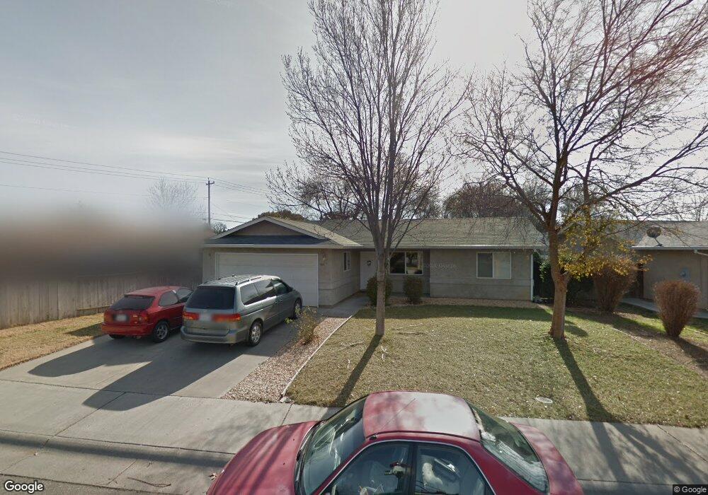
301 Divisidero Ave Corning, CA 96021
Estimated Value: $261,000 - $327,000
3
Beds
2
Baths
1,314
Sq Ft
$227/Sq Ft
Est. Value
About This Home
This home is located at 301 Divisidero Ave, Corning, CA 96021 and is currently estimated at $297,758, approximately $226 per square foot. 301 Divisidero Ave is a home located in Tehama County with nearby schools including Olive View Elementary School, Maywood Middle School, and Corning High School.
Ownership History
Date
Name
Owned For
Owner Type
Purchase Details
Closed on
Sep 18, 2012
Sold by
Department Of Veterans Affairs Of The St
Bought by
Rosas Antonio and Rosas Eva
Current Estimated Value
Home Financials for this Owner
Home Financials are based on the most recent Mortgage that was taken out on this home.
Original Mortgage
$212,859
Interest Rate
3.35%
Mortgage Type
VA
Purchase Details
Closed on
May 25, 2005
Sold by
Jamke
Bought by
Va
Purchase Details
Closed on
Jan 4, 2005
Sold by
Miller Wauhilla
Bought by
Jamke
Create a Home Valuation Report for This Property
The Home Valuation Report is an in-depth analysis detailing your home's value as well as a comparison with similar homes in the area
Purchase History
| Date | Buyer | Sale Price | Title Company |
|---|---|---|---|
| Rosas Antonio | -- | None Available | |
| Va | $230,000 | Fidelity National Title | |
| Jamke | $100,000 | Fidelity National Title |
Source: Public Records
Mortgage History
| Date | Status | Borrower | Loan Amount |
|---|---|---|---|
| Previous Owner | Rosas Antonio | $212,859 |
Source: Public Records
Tax History
| Year | Tax Paid | Tax Assessment Tax Assessment Total Assessment is a certain percentage of the fair market value that is determined by local assessors to be the total taxable value of land and additions on the property. | Land | Improvement |
|---|---|---|---|---|
| 2025 | $2,440 | $239,026 | $77,943 | $161,083 |
| 2023 | $2,442 | $239,026 | $77,943 | $161,083 |
| 2022 | $2,456 | $239,026 | $77,943 | $161,083 |
| 2021 | $2,186 | $217,296 | $70,857 | $146,439 |
| 2020 | $1,932 | $188,953 | $61,615 | $127,338 |
| 2019 | $1,797 | $179,955 | $58,681 | $121,274 |
| 2018 | $1,663 | $163,595 | $53,346 | $110,249 |
| 2017 | $1,525 | $148,722 | $48,496 | $100,226 |
| 2016 | $1,378 | $141,640 | $46,187 | $95,453 |
| 2015 | -- | $141,640 | $46,187 | $95,453 |
| 2014 | $1,203 | $123,166 | $40,163 | $83,003 |
Source: Public Records
Map
Nearby Homes
- 405 Divisidero Ave Unit 4
- 630 Marguerite Ave
- 670 Marguerite Ave
- 690 Marguerite Ave
- 689 Stanmar Dr
- 588 Hyland Dr
- 575 Divisidero Ave
- 310 Divisidero Ave
- 590 Marguerite Ave
- 599 Stanmar Dr
- 621 Marguerite Ave
- 570 Hyland Dr
- 730 Marguerite Ave
- 711 Stanmar Dr
- 661 Marguerite Ave
- 579 Stanmar Dr
- 541 Hyland Dr
- 566 Marguerite Ave
- 585 Marguerite Ave
- 554 Hyland Dr
Your Personal Tour Guide
Ask me questions while you tour the home.