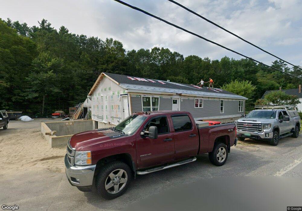
301 Main St Marlborough, NH 03455
Estimated Value: $442,088 - $497,000
4
Beds
3
Baths
1,896
Sq Ft
$247/Sq Ft
Est. Value
About This Home
This home is located at 301 Main St, Marlborough, NH 03455 and is currently estimated at $468,022, approximately $246 per square foot. 301 Main St is a home with nearby schools including Marlborough Elementary School and Keene High School.
Ownership History
Date
Name
Owned For
Owner Type
Purchase Details
Closed on
Apr 17, 2025
Sold by
Beaudoin Lennie S
Bought by
Beaudoin Lennie S and Beaudoin Sharon L
Current Estimated Value
Home Financials for this Owner
Home Financials are based on the most recent Mortgage that was taken out on this home.
Original Mortgage
$316,000
Outstanding Balance
$314,592
Interest Rate
6.63%
Mortgage Type
Commercial
Estimated Equity
$153,430
Purchase Details
Closed on
Sep 8, 2008
Sold by
Beaudoin Roger W and Beaudoin Sonja K
Bought by
Beaudoin Lennie S
Home Financials for this Owner
Home Financials are based on the most recent Mortgage that was taken out on this home.
Original Mortgage
$200,000
Interest Rate
6.69%
Mortgage Type
Commercial
Create a Home Valuation Report for This Property
The Home Valuation Report is an in-depth analysis detailing your home's value as well as a comparison with similar homes in the area
Home Values in the Area
Average Home Value in this Area
Purchase History
| Date | Buyer | Sale Price | Title Company |
|---|---|---|---|
| Beaudoin Lennie S | -- | None Available | |
| Beaudoin Lennie S | -- | None Available | |
| Beaudoin Lennie S | $250,000 | -- | |
| Beaudoin Lennie S | $250,000 | -- |
Source: Public Records
Mortgage History
| Date | Status | Borrower | Loan Amount |
|---|---|---|---|
| Open | Beaudoin Lennie S | $316,000 | |
| Closed | Beaudoin Lennie S | $316,000 | |
| Previous Owner | Beaudoin Lennie S | $200,000 |
Source: Public Records
Tax History Compared to Growth
Tax History
| Year | Tax Paid | Tax Assessment Tax Assessment Total Assessment is a certain percentage of the fair market value that is determined by local assessors to be the total taxable value of land and additions on the property. | Land | Improvement |
|---|---|---|---|---|
| 2024 | $8,984 | $312,690 | $163,200 | $149,490 |
| 2023 | $7,686 | $312,690 | $163,200 | $149,490 |
| 2022 | $8,164 | $312,690 | $163,200 | $149,490 |
| 2021 | $7,786 | $312,690 | $163,200 | $149,490 |
| 2020 | $8,377 | $266,190 | $133,200 | $132,990 |
| 2019 | $8,377 | $266,190 | $133,200 | $132,990 |
| 2018 | $8,830 | $266,190 | $133,200 | $132,990 |
| 2016 | $8,034 | $266,190 | $133,200 | $132,990 |
| 2015 | $7,671 | $270,980 | $133,200 | $137,780 |
| 2013 | $7,222 | $270,980 | $133,200 | $137,780 |
Source: Public Records
Map
Nearby Homes
- 0 State Route 101 Unit 5004128
- 12 Jaffrey Rd
- 40 Jaffrey Rd
- 32 Old Trestle Rd
- 126 Water St
- 89 Main St
- 360 Jaffrey Rd
- 14 Branch Rd
- 00 Graves Rd
- 0 Monadnock Hwy
- 00 Monadnock Hwy
- 628 Monadnock Hwy
- 57 Arrowcrest Dr
- 237 Chapman Rd
- 18 Sugar Hill Rd
- 6 Young Ct
- 00 Marcy Hill Rd
- 0 Optical Ave
- 6 Houghton Point
- 425 Marlboro St