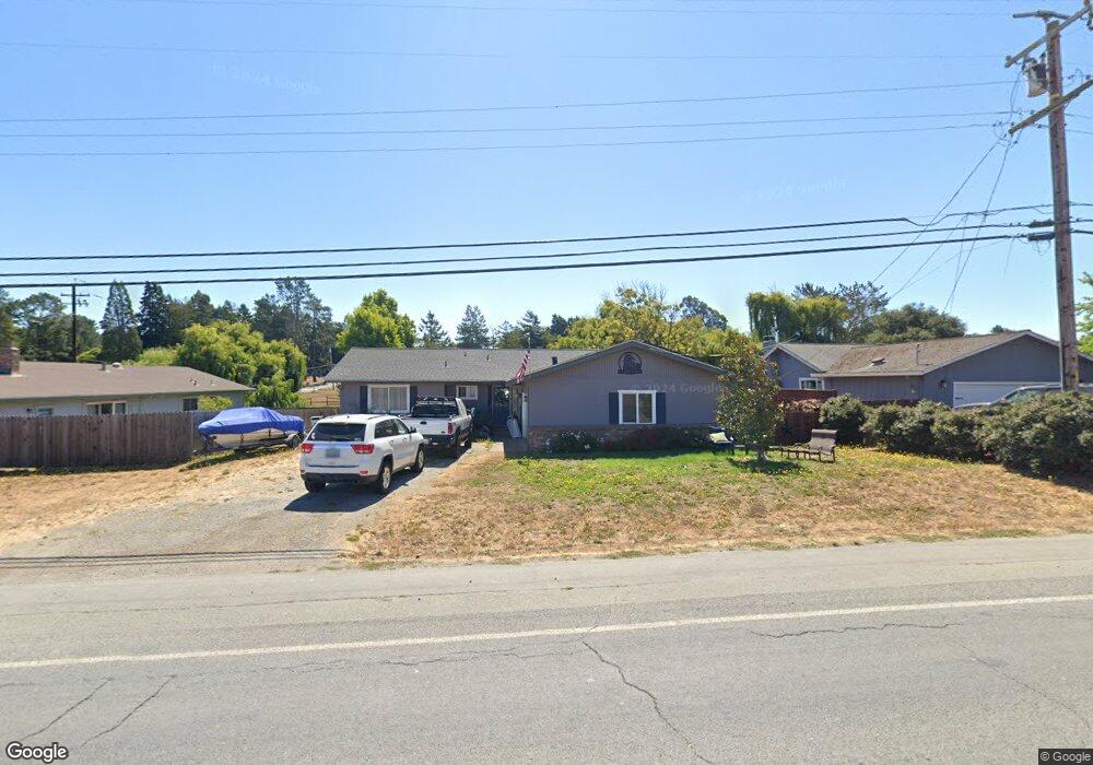
301 Meacham Rd Petaluma, CA 94952
Estimated Value: $837,650 - $1,060,000
3
Beds
2
Baths
1,527
Sq Ft
$622/Sq Ft
Est. Value
About This Home
This home is located at 301 Meacham Rd, Petaluma, CA 94952 and is currently estimated at $950,163, approximately $622 per square foot. 301 Meacham Rd is a home located in Sonoma County with nearby schools including Dunham Elementary School, Petaluma Junior High School, and Petaluma High School.
Ownership History
Date
Name
Owned For
Owner Type
Purchase Details
Closed on
Oct 26, 2005
Sold by
Baker Deborah I
Bought by
Baker Dennis W and Baker Deborah I
Current Estimated Value
Home Financials for this Owner
Home Financials are based on the most recent Mortgage that was taken out on this home.
Original Mortgage
$60,000
Interest Rate
5.74%
Mortgage Type
New Conventional
Purchase Details
Closed on
Apr 23, 2003
Sold by
Baker Dennis W
Bought by
Baker Deborah I
Home Financials for this Owner
Home Financials are based on the most recent Mortgage that was taken out on this home.
Original Mortgage
$320,000
Interest Rate
5.72%
Create a Home Valuation Report for This Property
The Home Valuation Report is an in-depth analysis detailing your home's value as well as a comparison with similar homes in the area
Purchase History
| Date | Buyer | Sale Price | Title Company |
|---|---|---|---|
| Baker Dennis W | -- | Financial Title Co | |
| Baker Deborah I | -- | First American Title Co |
Source: Public Records
Mortgage History
| Date | Status | Borrower | Loan Amount |
|---|---|---|---|
| Closed | Baker Dennis W | $60,000 | |
| Closed | Baker Deborah I | $320,000 |
Source: Public Records
Tax History
| Year | Tax Paid | Tax Assessment Tax Assessment Total Assessment is a certain percentage of the fair market value that is determined by local assessors to be the total taxable value of land and additions on the property. | Land | Improvement |
|---|---|---|---|---|
| 2025 | $2,600 | $211,234 | $64,991 | $146,243 |
| 2024 | $2,600 | $207,093 | $63,717 | $143,376 |
| 2023 | $2,600 | $203,033 | $62,468 | $140,565 |
| 2022 | $2,522 | $199,053 | $61,244 | $137,809 |
| 2021 | $2,464 | $195,151 | $60,044 | $135,107 |
| 2020 | $2,473 | $193,151 | $59,429 | $133,722 |
| 2019 | $2,436 | $189,364 | $58,264 | $131,100 |
| 2018 | $2,162 | $185,652 | $57,122 | $128,530 |
| 2017 | $2,127 | $182,012 | $56,002 | $126,010 |
| 2016 | $2,052 | $178,444 | $54,904 | $123,540 |
| 2015 | -- | $175,765 | $54,080 | $121,685 |
| 2014 | -- | $172,323 | $53,021 | $119,302 |
Source: Public Records
Map
Nearby Homes
- 9053 Water Rd
- 130 Jewett Rd
- 750 W School St
- 6675 Petersen Rd
- 377 Maple Ave
- 65 Lasker Ln
- 95 Jagla St
- 411 Highland Ave
- 7080 Gravenstein Hwy
- 700 Old King Rd
- 1355 Rose Ave
- 79 William St Unit B
- 7 Kingston Way
- 6140 Gilmore Ave
- 6060 Oak Ave
- 7942 Scriver Ct
- 6067 Gilmore Ave
- 6000 Petersen Rd
- 7459 Alder Ave
- 8873 Lebec Ln
Your Personal Tour Guide
Ask me questions while you tour the home.