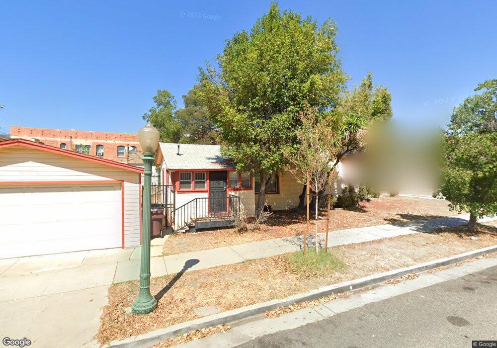
301 N Howard St Glendale, CA 91206
City Center NeighborhoodEstimated Value: $898,000 - $1,056,000
2
Beds
1
Bath
1,008
Sq Ft
$949/Sq Ft
Est. Value
About This Home
This home is located at 301 N Howard St, Glendale, CA 91206 and is currently estimated at $956,371, approximately $948 per square foot. 301 N Howard St is a home located in Los Angeles County with nearby schools including R.D. White Elementary School, Woodrow Wilson Middle School, and Glendale High School.
Ownership History
Date
Name
Owned For
Owner Type
Purchase Details
Closed on
May 22, 1996
Sold by
Frendo Walter J
Bought by
Soukiassian Arshavir
Current Estimated Value
Home Financials for this Owner
Home Financials are based on the most recent Mortgage that was taken out on this home.
Original Mortgage
$50,000
Interest Rate
8.09%
Purchase Details
Closed on
Oct 11, 1995
Sold by
Coker Irene E
Bought by
Frendo Walter J
Create a Home Valuation Report for This Property
The Home Valuation Report is an in-depth analysis detailing your home's value as well as a comparison with similar homes in the area
Home Values in the Area
Average Home Value in this Area
Purchase History
| Date | Buyer | Sale Price | Title Company |
|---|---|---|---|
| Soukiassian Arshavir | $70,000 | American Coast Title Co Inc | |
| Frendo Walter J | -- | -- |
Source: Public Records
Mortgage History
| Date | Status | Borrower | Loan Amount |
|---|---|---|---|
| Closed | Soukiassian Arshavir | $50,000 |
Source: Public Records
Tax History
| Year | Tax Paid | Tax Assessment Tax Assessment Total Assessment is a certain percentage of the fair market value that is determined by local assessors to be the total taxable value of land and additions on the property. | Land | Improvement |
|---|---|---|---|---|
| 2025 | $10,352 | $955,086 | $758,763 | $196,323 |
| 2024 | $10,352 | $936,360 | $743,886 | $192,474 |
| 2023 | $2,707 | $233,097 | $186,808 | $46,289 |
| 2022 | $2,658 | $228,528 | $183,146 | $45,382 |
| 2021 | $2,610 | $224,048 | $179,555 | $44,493 |
| 2020 | $2,572 | $221,751 | $177,714 | $44,037 |
| 2019 | $2,508 | $217,404 | $174,230 | $43,174 |
| 2018 | $2,425 | $213,142 | $170,814 | $42,328 |
| 2016 | $2,307 | $204,868 | $164,182 | $40,686 |
| 2015 | $2,261 | $201,791 | $161,716 | $40,075 |
| 2014 | $2,250 | $197,839 | $158,549 | $39,290 |
Source: Public Records
Map
Nearby Homes
- 300 N Isabel St Unit 10
- 330 N Howard St Unit 212
- 219 N Isabel St Unit 5
- 323 N Jackson St Unit 115
- 333 N Jackson St
- 411 N Jackson St Unit 104
- 312 N Louise St Unit 210
- 312 N Louise St Unit 108
- 510 N Jackson St Unit 301
- 111 N Everett St Unit 306
- 520 N Howard St
- 400 N Louise St Unit 303
- 515 N Jackson St Unit 116
- 232 N Belmont St
- 126 Franklin Ct
- 121 S Jackson St
- 118 S Kenwood St Unit 305
- 132 S Everett St
- 1121 E Wilson Ave Unit 12
- 230 S Jackson St Unit 301
- 617 E California Ave
- 615 E California Ave
- 701 E California Ave
- 300 N Isabel St Unit 13
- 300 N Isabel St Unit 14
- 300 N Isabel St Unit 15
- 300 N Isabel St Unit 16
- 300 N Isabel St Unit 17
- 300 N Isabel St Unit 18
- 300 N Isabel St Unit 19
- 300 N Isabel St Unit 20
- 300 N Isabel St Unit 21
- 300 N Isabel St Unit 12
- 300 N Isabel St Unit 11
- 300 N Isabel St Unit 9
- 300 N Isabel St Unit 1
- 300 N Isabel St Unit 2
- 300 N Isabel St Unit 3
- 300 N Isabel St Unit 4
- 300 N Isabel St Unit 5
Your Personal Tour Guide
Ask me questions while you tour the home.