301 Snuff Mill Rd Wilmington, DE 19807
Ashland NeighborhoodEstimated Value: $1,794,548 - $2,052,000
About This Home
This home is located at 301 Snuff Mill Rd, Wilmington, DE 19807 and is currently estimated at $1,883,516, approximately $378 per square foot. 301 Snuff Mill Rd is a home located in New Castle County with nearby schools including Alexis I. du Pont Middle School, Alexis I. du Pont High School, and Centreville Layton School.
Ownership History
We collect this data history from publicly available records. To have your information removed, we recommend requesting removal directly through your county’s website.
Purchase Details
Home Financials for this Owner
Home Financials are based on the most recent Mortgage that was taken out on this home.Purchase Details
Home Values in the Area
Average Home Value in this Area
Purchase History
We collect this data history from publicly available records. To have your information removed, we recommend requesting removal directly through your county’s website.
| Date | Buyer | Sale Price | Title Company |
|---|---|---|---|
| -- | None Available | ||
| -- | -- | ||
| -- | -- |
Mortgage History
We collect this data history from publicly available records. To have your information removed, we recommend requesting removal directly through your county’s website.
| Date | Status | Borrower | Loan Amount |
|---|---|---|---|
| Closed | $2,730,000 |
Tax History
We collect this data history from publicly available records. To have your information removed, we recommend requesting removal directly through your county’s website.
| Year | Tax Paid | Tax Assessment Tax Assessment Total Assessment is a certain percentage of the fair market value that is determined by local assessors to be the total taxable value of land and additions on the property. | Land | Improvement |
|---|---|---|---|---|
| 2025 | -- | $1,794,700 | $480,000 | $1,314,700 |
| 2024 | $18,726 | $506,800 | $180,000 | $326,800 |
| 2023 | $16,519 | $506,800 | $180,000 | $326,800 |
| 2022 | $16,716 | $506,800 | $180,000 | $326,800 |
| 2021 | $16,714 | $506,800 | $180,000 | $326,800 |
| 2020 | $16,769 | $506,800 | $180,000 | $326,800 |
| 2019 | $16,743 | $506,800 | $180,000 | $326,800 |
| 2018 | $16,410 | $506,800 | $180,000 | $326,800 |
| 2017 | $15,023 | $506,800 | $180,000 | $326,800 |
| 2016 | $15,023 | $491,800 | $165,000 | $326,800 |
| 2015 | $14,076 | $491,800 | $165,000 | $326,800 |
| 2014 | $13,026 | $491,800 | $165,000 | $326,800 |
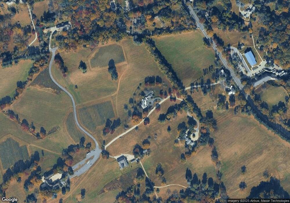
Map
- 680 Sycamore Ln
- 101 Burnt Mill Cir
- 21 Quail Crossing
- 7 Hollingsworth Dr
- 117 Center Mill Rd
- 7 Twaddell Mill Rd
- 203 Haystack Ln
- 239 S Fairville Rd
- 200 S Fairville Rd
- 1 Ridge Run Rd
- 1540 Fairville Rd
- 203 Balmoral Cir
- 500 Kennett Pike
- 1 Laurel Ridge Ln
- 711 Kilduff Ct Unit 108
- 603 Inverness Ct
- 805 Macduff Ct Unit 94
- 854 Burrows Run Rd
- 200 Fulling Dr
- 107 Walnut Ridge Rd
- 281 Snuff Mill Rd
- 101 Burnt Mill Rd
- 6020 Kennett Pike
- 752 Kennett Pike
- 401 Burnt Mill Rd
- 401 Burnt Mill Rd
- 83 Snuff Mill Rd
- 6301 Kennett Pike
- 84 Snuff Mill Rd
- 6201 Kennett Pike
- 300 Center Hill Rd
- 400 Burnt Mill Rd
- 501 Burnt Mill Rd
- 316 Snuff Mill Rd
- 6411 Kennett Pike
- 115 Haywood Rd
- 730 Kennett Pike
- 748 Paddock Ln
- 120 Haywood Rd
- 742 Paddock Ln
Ask me questions while you tour the home.