Estimated Value: $439,171 - $502,000
3
Beds
2
Baths
1,381
Sq Ft
$335/Sq Ft
Est. Value
About This Home
This home is located at 301 Townsend Rd, Mason, NH 03048 and is currently estimated at $462,293, approximately $334 per square foot. 301 Townsend Rd is a home.
Ownership History
Date
Name
Owned For
Owner Type
Purchase Details
Closed on
Oct 4, 2005
Sold by
Washburn Claire E
Bought by
Silva Paul A and Silva Lynn A
Current Estimated Value
Home Financials for this Owner
Home Financials are based on the most recent Mortgage that was taken out on this home.
Original Mortgage
$246,050
Outstanding Balance
$132,361
Interest Rate
5.84%
Mortgage Type
Purchase Money Mortgage
Estimated Equity
$329,932
Create a Home Valuation Report for This Property
The Home Valuation Report is an in-depth analysis detailing your home's value as well as a comparison with similar homes in the area
Home Values in the Area
Average Home Value in this Area
Purchase History
| Date | Buyer | Sale Price | Title Company |
|---|---|---|---|
| Silva Paul A | $259,000 | -- |
Source: Public Records
Mortgage History
| Date | Status | Borrower | Loan Amount |
|---|---|---|---|
| Open | Silva Paul A | $246,050 |
Source: Public Records
Tax History Compared to Growth
Tax History
| Year | Tax Paid | Tax Assessment Tax Assessment Total Assessment is a certain percentage of the fair market value that is determined by local assessors to be the total taxable value of land and additions on the property. | Land | Improvement |
|---|---|---|---|---|
| 2024 | $6,791 | $265,800 | $104,700 | $161,100 |
| 2023 | $6,186 | $260,800 | $104,700 | $156,100 |
| 2022 | $5,302 | $260,800 | $104,700 | $156,100 |
| 2021 | $4,877 | $245,800 | $104,700 | $141,100 |
| 2020 | $5,032 | $186,300 | $85,200 | $101,100 |
| 2019 | $4,889 | $186,300 | $85,200 | $101,100 |
| 2018 | $4,691 | $186,300 | $85,200 | $101,100 |
| 2017 | $4,685 | $186,300 | $85,200 | $101,100 |
| 2016 | $4,697 | $186,300 | $85,200 | $101,100 |
| 2015 | $5,438 | $228,700 | $86,200 | $142,500 |
| 2014 | $5,445 | $228,700 | $86,200 | $142,500 |
| 2013 | $5,695 | $228,700 | $86,200 | $142,500 |
Source: Public Records
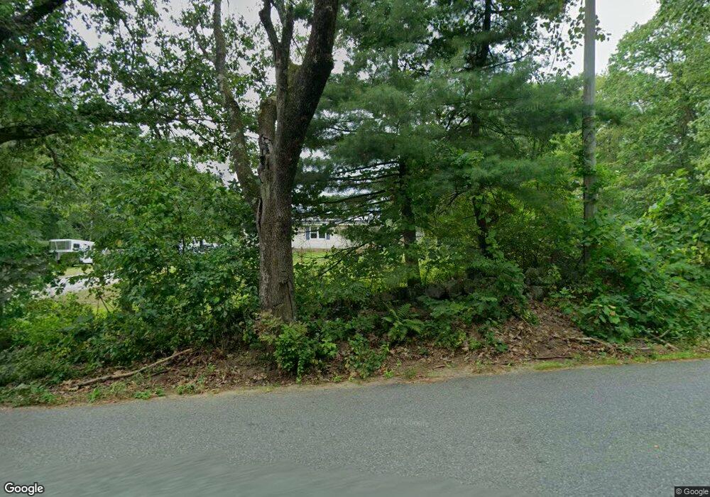
Map
Nearby Homes
- 1275 Valley Rd
- 137 Cascade Rd
- 1235 Townsend Rd
- 75 Merriam Hill Rd
- 183 New Hillcrest Dr
- 87 Laurel Dr
- 1-65-C Barrett Rd
- 9 Winterberry Rd
- 7 Winterberry Rd
- 18 Bridle Path
- 38 Countryside Dr
- 11 Fox Run
- 602 Fitchburg Rd Unit lot 19
- 0 Davis Rd
- 104 N Mason Rd
- 3 Ben Farnsworth Rd
- 53 W Meadow Rd
- 74 Wright Rd
- 988 Greenville Rd
- 7 Bartons Ridge Rd
- 318 Townsend Rd
- 337 Townsend Rd
- 242 Townsend Rd
- 220 Townsend Rd
- 211 Townsend Rd
- 2 Townsend Rd Unit 37
- 195 Townsend Rd
- 576 Jackson Rd
- 575 Jackson Rd
- 504 Jackson Rd
- 442 Townsend Rd
- 200 Townsend Rd
- 475 Townsend Rd
- 466 Townsend Rd
- 127 Townsend Rd
- 122 Townsend Rd
- 497 Jackson Rd
- 455 Jackson Rd
- 113 Townsend Rd
- 104 Townsend Rd