Estimated Value: $996,476
Studio
2
Baths
2,885
Sq Ft
$345/Sq Ft
Est. Value
About This Home
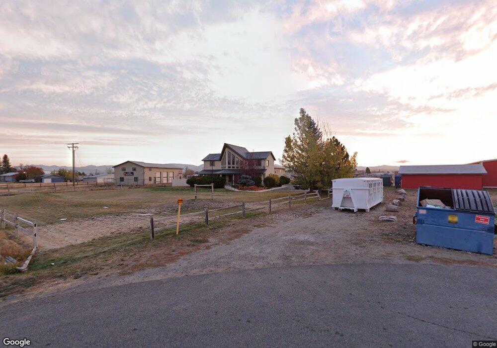
This home is located at 3012 L Dr, Helena, MT 59602 and is currently estimated at $996,476, approximately $345 per square foot. 3012 L Dr is a home located in Lewis and Clark County with nearby schools including Warren School, Helena Middle School, and Helena Christian School.
Ownership History
Date
Name
Owned For
Owner Type
Purchase Details
Closed on
Aug 9, 2021
Sold by
Jake Magalsky
Bought by
Old Pot Shop Llc
Current Estimated Value
Purchase Details
Closed on
Jan 14, 2021
Sold by
Knauss Ron and Knauss Davina
Bought by
Magalsky Jake
Home Financials for this Owner
Home Financials are based on the most recent Mortgage that was taken out on this home.
Original Mortgage
$572,000
Interest Rate
2.71%
Mortgage Type
Commercial
Create a Home Valuation Report for This Property
The Home Valuation Report is an in-depth analysis detailing your home's value as well as a comparison with similar homes in the area
Home Values in the Area
Average Home Value in this Area
Purchase History
| Date | Buyer | Sale Price | Title Company |
|---|---|---|---|
| Old Pot Shop Llc | -- | None Listed On Document | |
| Magalsky Jake | -- | First Montana Land Title Co |
Source: Public Records
Mortgage History
| Date | Status | Borrower | Loan Amount |
|---|---|---|---|
| Previous Owner | Magalsky Jake | $572,000 |
Source: Public Records
Tax History
| Year | Tax Paid | Tax Assessment Tax Assessment Total Assessment is a certain percentage of the fair market value that is determined by local assessors to be the total taxable value of land and additions on the property. | Land | Improvement |
|---|---|---|---|---|
| 2025 | $10,311 | $1,009,200 | $0 | $0 |
| 2024 | $9,976 | $858,000 | $0 | $0 |
| 2023 | $10,174 | $858,000 | $0 | $0 |
| 2022 | $9,588 | $689,700 | $0 | $0 |
| 2021 | $9,290 | $689,700 | $0 | $0 |
| 2020 | $9,726 | $689,800 | $0 | $0 |
| 2019 | $9,800 | $689,800 | $0 | $0 |
| 2018 | $9,117 | $633,200 | $0 | $0 |
| 2017 | $7,661 | $633,200 | $0 | $0 |
| 2016 | $8,078 | $641,300 | $0 | $0 |
| 2015 | $7,925 | $641,300 | $0 | $0 |
| 2014 | $5,739 | $356,374 | $0 | $0 |
Source: Public Records
Map
Nearby Homes
- 2765 Wylie Dr Unit 59
- 2765 Wylie Dr Unit 48
- 2765 Wylie Dr Unit 52
- 2884 Ashley Ave
- 3536 Rainbow Dr
- 2969 Sunnyside Rd
- 2947 Sunnyside Rd
- 3562 Strandberg Dr
- 3446 Tizer Dr
- 3140 Emily Ln
- 2830 Valley Dr
- 2946 Melrose Rd
- 2934 Flamingo Rd
- 266 Stirling Loop
- 2877 Melody Rd
- 238 Stirling Loop
- 262 Stirling Loop
- 2879 Village Rd
- 2873 Village Rd
- 2860 Village Rd
- 3000 Canyon Ferry Rd
- 3155 Wylie Dr
- 3001 L Dr Unit Los Cazadores
- 3095 Wylie Dr
- 3050 Canyon Ferry Rd
- 3043 Canyon Ferry Rd
- 3065 Canyon Ferry Rd
- 3025 Coyote Ln
- 3163 Wylie Dr
- 3035 Coyote Ln
- 3045 Coyote Ln
- 3065 Wylie Dr
- 3156 Tancy Dr Unit Suite B
- 3156 Tancy Dr
- 3083 Canyon Ferry Rd
- 3030 Coyote Ln
- 3085 Canyon Ferry Rd
- 3020 Coyote Ln
- 3171 Wylie Dr
- 3050 Coyote Ln
Your Personal Tour Guide
Ask me questions while you tour the home.