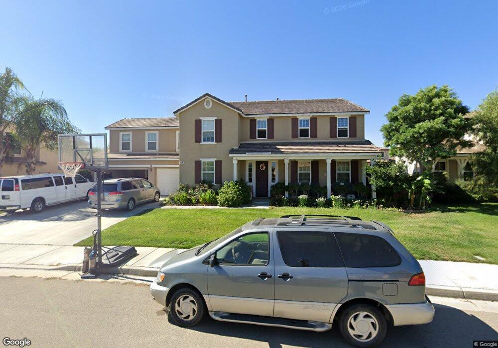
30145 Dew Hurst St Menifee, CA 92584
Estimated Value: $758,247 - $826,000
4
Beds
4
Baths
3,931
Sq Ft
$204/Sq Ft
Est. Value
About This Home
This home is located at 30145 Dew Hurst St, Menifee, CA 92584 and is currently estimated at $800,812, approximately $203 per square foot. 30145 Dew Hurst St is a home located in Riverside County with nearby schools including Harvest Hill S.T.E.A.M. Academy, Bell Mountain Middle School, and Pinacate Middle School.
Ownership History
Date
Name
Owned For
Owner Type
Purchase Details
Closed on
Mar 4, 2009
Sold by
Richmond American Homes Of Maryland Inc
Bought by
Compalas Anderson L and Compalas Cristina C
Current Estimated Value
Home Financials for this Owner
Home Financials are based on the most recent Mortgage that was taken out on this home.
Original Mortgage
$340,090
Outstanding Balance
$216,480
Interest Rate
5.15%
Mortgage Type
VA
Estimated Equity
$584,332
Create a Home Valuation Report for This Property
The Home Valuation Report is an in-depth analysis detailing your home's value as well as a comparison with similar homes in the area
Home Values in the Area
Average Home Value in this Area
Purchase History
| Date | Buyer | Sale Price | Title Company |
|---|---|---|---|
| Compalas Anderson L | $329,500 | First American Title Company |
Source: Public Records
Mortgage History
| Date | Status | Borrower | Loan Amount |
|---|---|---|---|
| Open | Compalas Anderson L | $340,090 |
Source: Public Records
Tax History Compared to Growth
Tax History
| Year | Tax Paid | Tax Assessment Tax Assessment Total Assessment is a certain percentage of the fair market value that is determined by local assessors to be the total taxable value of land and additions on the property. | Land | Improvement |
|---|---|---|---|---|
| 2025 | $8,870 | $423,940 | $77,252 | $346,688 |
| 2023 | $8,870 | $407,480 | $74,253 | $333,227 |
| 2022 | $8,776 | $399,492 | $72,798 | $326,694 |
| 2021 | $8,722 | $391,660 | $71,371 | $320,289 |
| 2020 | $8,631 | $387,645 | $70,640 | $317,005 |
| 2019 | $8,509 | $380,045 | $69,255 | $310,790 |
| 2018 | $8,283 | $372,595 | $67,899 | $304,696 |
| 2017 | $8,200 | $365,290 | $66,568 | $298,722 |
| 2016 | $8,061 | $358,128 | $65,263 | $292,865 |
| 2015 | $7,984 | $352,751 | $64,284 | $288,467 |
| 2014 | $7,903 | $343,000 | $63,000 | $280,000 |
Source: Public Records
Map
Nearby Homes
- 30082 Whembly Cir
- 32234 Bullard St
- 30546 Rodriquez Loop
- 32084 Richardson St
- 32943 Edinborough Way
- 0 Scott Rd Unit SW24027439
- 32797 Secretariat Ct
- 32670 Toleworth St
- 32942 Forgecroft St
- 32966 Forgecroft St
- 32939 Fleets Rd
- 0 Lindenberger Unit WS25155251
- 32463 McKiernan Ln
- 32899 Earlsburn Cir
- 29444 Siderite Cir
- 32469 Peters St
- 30277 Marshall Ln
- 30313 Marshall Ln
- 32359 Peters St
- 32265 Neal Ln
- 30125 Dew Hurst St
- 30165 Dew Hurst St
- 30070 Whembly Cir
- 30058 Whembly Cir
- 30094 Whembly Cir
- 32852 Falmouth Ct
- 30146 Dew Hurst St
- 30106 Dew Hurst St
- 30046 Whembly Cir
- 30185 Dew Hurst St
- 30106 Whembly Cir
- 32862 Falmouth Ct
- 30186 Dew Hurst St
- 30034 Whembly Cir
- 30137 Beeswing Cir
- 30118 Whembly Cir
- 30075 Whembly Cir
- 30086 Dew Hurst St
- 30063 Whembly Cir
- 30205 Dew Hurst St