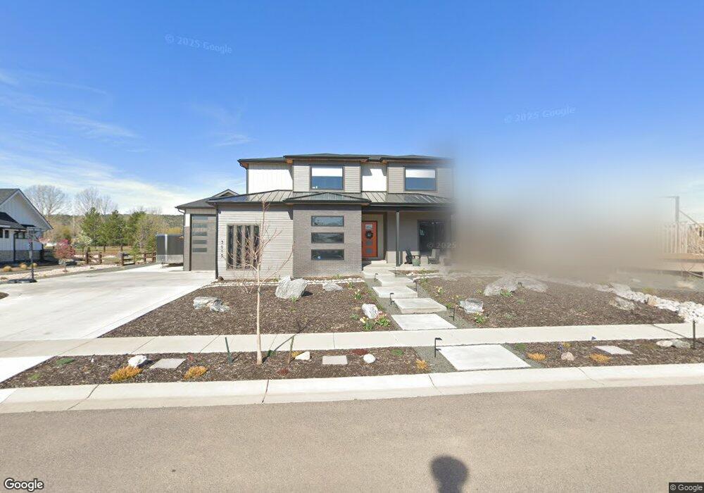
3015 Broadwing Rd Fort Collins, CO 80526
Estimated Value: $1,301,000 - $1,809,000
5
Beds
6
Baths
3,185
Sq Ft
$488/Sq Ft
Est. Value
About This Home
This home is located at 3015 Broadwing Rd, Fort Collins, CO 80526 and is currently estimated at $1,554,081, approximately $487 per square foot. 3015 Broadwing Rd is a home located in Larimer County with nearby schools including Olander Elementary School, Blevins Middle School, and Rocky Mountain High School.
Ownership History
Date
Name
Owned For
Owner Type
Purchase Details
Closed on
Sep 30, 2020
Sold by
Talon Estates Llc
Bought by
Tilley Michael F and Tilley Laura
Current Estimated Value
Home Financials for this Owner
Home Financials are based on the most recent Mortgage that was taken out on this home.
Original Mortgage
$510,000
Outstanding Balance
$453,618
Interest Rate
2.9%
Mortgage Type
New Conventional
Estimated Equity
$1,100,463
Purchase Details
Closed on
Sep 23, 2020
Sold by
Bdsg Capital Llc
Bought by
Talon Estates Llc
Home Financials for this Owner
Home Financials are based on the most recent Mortgage that was taken out on this home.
Original Mortgage
$510,000
Outstanding Balance
$453,618
Interest Rate
2.9%
Mortgage Type
New Conventional
Estimated Equity
$1,100,463
Create a Home Valuation Report for This Property
The Home Valuation Report is an in-depth analysis detailing your home's value as well as a comparison with similar homes in the area
Home Values in the Area
Average Home Value in this Area
Purchase History
| Date | Buyer | Sale Price | Title Company |
|---|---|---|---|
| Tilley Michael F | $249,900 | None Listed On Document | |
| Talon Estates Llc | -- | None Listed On Document |
Source: Public Records
Mortgage History
| Date | Status | Borrower | Loan Amount |
|---|---|---|---|
| Open | Tilley Michael F | $510,000 |
Source: Public Records
Tax History Compared to Growth
Tax History
| Year | Tax Paid | Tax Assessment Tax Assessment Total Assessment is a certain percentage of the fair market value that is determined by local assessors to be the total taxable value of land and additions on the property. | Land | Improvement |
|---|---|---|---|---|
| 2025 | $7,267 | $79,422 | $22,780 | $56,642 |
| 2024 | $6,914 | $79,422 | $22,780 | $56,642 |
| 2022 | $2,943 | $31,171 | $16,402 | $14,769 |
| 2021 | $6,348 | $68,440 | $68,440 | $0 |
| 2020 | $5,535 | $59,160 | $59,160 | $0 |
| 2019 | $5,559 | $59,160 | $59,160 | $0 |
| 2018 | $1,303 | $14,297 | $14,297 | $0 |
| 2017 | $888 | $9,773 | $9,773 | $0 |
| 2016 | $367 | $4,017 | $4,017 | $0 |
| 2015 | $364 | $6,240 | $6,240 | $0 |
| 2014 | $423 | $4,640 | $4,640 | $0 |
Source: Public Records
Map
Nearby Homes
- 2800 S Taft Hill Rd
- 3136 Birmingham Dr
- 2025 Cheshire St
- 2 County Road 19
- 2114 Water Blossom Ln
- 2607 S Taft Hill Rd
- 2013 Bronson St
- 1905 Yorktown Ave
- 2455 Wyandotte Dr
- 3525 Auntie Stone St Unit 8
- 1819 Birmingham Dr
- 2613 Hanover Dr
- 3366 Liverpool St
- 2855 Trenton Way
- 2843 Seccomb St
- 2415 Dalton Dr
- 2420 Sheffield Cir E
- 1601 W Swallow Rd Unit 1
- 1601 W Swallow Rd Unit 9
- 1601 W Swallow Rd
- 3015 Broadwing Rd
- 2332 Falcon Dr
- 2320 Falcon Dr
- 3009 Broadwing Rd
- 2326 Falcon Dr
- 2309 Longwing Dr
- 2338 Falcon Dr
- 3021 Broadwing Rd
- 3026 Broadwing Dr
- 3021 Broadwing Dr
- 3020 Broadwing Dr
- 2240 Falcon Dr
- 3008 Broadwing Rd
- 3014 Broadwing Rd
- 2121 Falcon Dr
- 0 Falcon Dr
- 3002 Longwing Dr
- 3002 Broadwing Rd
- 2341 Falcon Dr
- 2308 Longwing Dr