Estimated Value: $850,000 - $1,454,000
3
Beds
2
Baths
1,564
Sq Ft
$734/Sq Ft
Est. Value
About This Home
This home is located at 3015 Burntside Ridge Trail, Ely, MN 55731 and is currently estimated at $1,148,664, approximately $734 per square foot. 3015 Burntside Ridge Trail is a home located in St. Louis County with nearby schools including Washington Elementary School and Memorial High School.
Ownership History
Date
Name
Owned For
Owner Type
Purchase Details
Closed on
Sep 23, 2011
Sold by
Breuhl Judy Vail and Breuhl Timothy Edward
Bought by
Judy L Vail Trust
Current Estimated Value
Purchase Details
Closed on
Oct 12, 2009
Sold by
Lassila Jerry L and Lassila Sharon A
Bought by
Breuhl Judy Vail and Breuhl Timothy E
Purchase Details
Closed on
Oct 9, 2009
Sold by
Breuhl Judy Vail and Breuhl Timothy E
Bought by
Lassila Jerry L and Lassila Sharon A
Create a Home Valuation Report for This Property
The Home Valuation Report is an in-depth analysis detailing your home's value as well as a comparison with similar homes in the area
Purchase History
| Date | Buyer | Sale Price | Title Company |
|---|---|---|---|
| Judy L Vail Trust | -- | None Available | |
| Breuhl Judy Vail | -- | Up North | |
| Lassila Jerry L | -- | Up North |
Source: Public Records
Tax History
| Year | Tax Paid | Tax Assessment Tax Assessment Total Assessment is a certain percentage of the fair market value that is determined by local assessors to be the total taxable value of land and additions on the property. | Land | Improvement |
|---|---|---|---|---|
| 2024 | $9,106 | $876,800 | $388,800 | $488,000 |
| 2023 | $9,106 | $780,800 | $366,900 | $413,900 |
| 2022 | $6,640 | $656,300 | $312,000 | $344,300 |
| 2021 | $7,104 | $565,700 | $265,400 | $300,300 |
| 2020 | $6,600 | $565,700 | $265,400 | $300,300 |
| 2019 | $6,440 | $565,700 | $265,400 | $300,300 |
| 2018 | $6,388 | $565,600 | $286,800 | $278,800 |
| 2017 | $6,386 | $565,600 | $286,800 | $278,800 |
| 2016 | $6,472 | $565,600 | $286,800 | $278,800 |
| 2015 | $6,354 | $580,400 | $301,600 | $278,800 |
| 2014 | $6,354 | $569,500 | $296,800 | $272,700 |
Source: Public Records
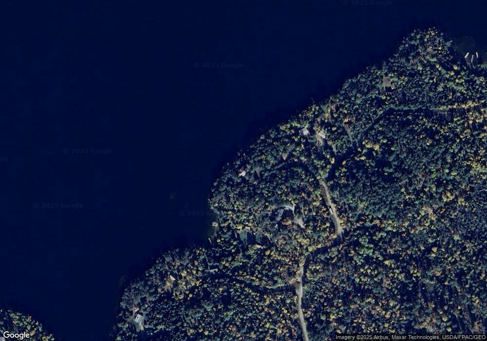
Map
Nearby Homes
- 2713 Burntside Lake Rd
- 52 W Chandler St
- 2928 Waters Island
- 2928 Waters Island Unit Waters Island and Do
- TBD Trezona Rd
- TBD Waters Island
- TBD Hill Top Rd
- X Waters Island
- 23 W Harvey St
- 27 E Harvey St
- 313 E Chapman St
- 246 N 5th Ave E
- 235 E Harvey St
- 2928 Rd
- 628 E Sheridan St
- 738 E Camp St
- 324 S 4th Ave E
- 1471 N Pioneer Rd
- 3807 Fenske Lake Rd Unit 2
- 3784 Fenske Lake Rd Unit 5
- 3031 Burntside Ridge Trail
- 3009 Burntside Ridge Trail
- 3021 Burntside Ridge Trail
- 3013 Burntside Ridge Trail
- 3035 Burntside Ridge Trail
- 3003 Burntside Ridge Trail
- 3037 Burntside Ridge Trail
- 2985 Burntside Ridge Trail
- 3039 Burntside Ridge Trail
- 3132 Burntside Ridge Trail
- 2974 Burntside Ridge Trail
- 2337 Reed Rd
- 3043 Burntside Ridge Trail
- 2245 Reed Rd
- 2340 Reed Rd
- 3089 Burntside Ridge Trail
- 3132 3132 Burntside Ridge Rd
- 3082 Burntside Ridge Trail
- 3076 Burntside Ridge Trail
- 3095 Burntside Ridge Trail
Your Personal Tour Guide
Ask me questions while you tour the home.