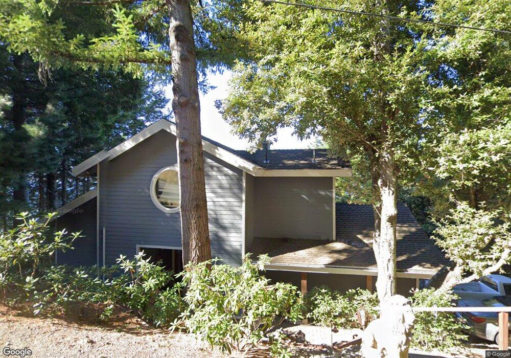
3015 Toth Rd Whitethorn, CA 95589
Shelter Cove NeighborhoodEstimated Value: $417,000 - $467,715
1
Bed
3
Baths
1,943
Sq Ft
$230/Sq Ft
Est. Value
About This Home
This home is located at 3015 Toth Rd, Whitethorn, CA 95589 and is currently estimated at $445,929, approximately $229 per square foot. 3015 Toth Rd is a home located in Humboldt County.
Ownership History
Date
Name
Owned For
Owner Type
Purchase Details
Closed on
Aug 18, 2014
Sold by
Benton Jon M and Benton Sally S
Bought by
Jon & Sally Benton Living Trust
Current Estimated Value
Purchase Details
Closed on
May 10, 2001
Sold by
N R L L Inc
Bought by
Byrd Eric
Home Financials for this Owner
Home Financials are based on the most recent Mortgage that was taken out on this home.
Original Mortgage
$7,500
Outstanding Balance
$2,767
Interest Rate
7.03%
Estimated Equity
$443,162
Purchase Details
Closed on
Apr 20, 2001
Sold by
Byrd Eric
Bought by
Benton Jon M and Benton Sally S
Home Financials for this Owner
Home Financials are based on the most recent Mortgage that was taken out on this home.
Original Mortgage
$7,500
Outstanding Balance
$2,767
Interest Rate
7.03%
Estimated Equity
$443,162
Purchase Details
Closed on
Nov 24, 1999
Sold by
Johnson Frank T and Johnson David R
Bought by
N R L L Inc
Create a Home Valuation Report for This Property
The Home Valuation Report is an in-depth analysis detailing your home's value as well as a comparison with similar homes in the area
Home Values in the Area
Average Home Value in this Area
Purchase History
| Date | Buyer | Sale Price | Title Company |
|---|---|---|---|
| Jon & Sally Benton Living Trust | -- | None Available | |
| Byrd Eric | $4,000 | First American Title Ins Co | |
| Benton Jon M | $16,000 | First American Title Co | |
| N R L L Inc | $500 | -- |
Source: Public Records
Mortgage History
| Date | Status | Borrower | Loan Amount |
|---|---|---|---|
| Open | Benton Jon M | $7,500 |
Source: Public Records
Tax History Compared to Growth
Tax History
| Year | Tax Paid | Tax Assessment Tax Assessment Total Assessment is a certain percentage of the fair market value that is determined by local assessors to be the total taxable value of land and additions on the property. | Land | Improvement |
|---|---|---|---|---|
| 2025 | $4,559 | $403,134 | $24,096 | $379,038 |
| 2024 | $4,559 | $395,230 | $23,624 | $371,606 |
| 2023 | $4,577 | $387,481 | $23,161 | $364,320 |
| 2022 | $4,509 | $379,884 | $22,707 | $357,177 |
| 2021 | $4,345 | $372,436 | $22,262 | $350,174 |
| 2020 | $4,370 | $368,618 | $22,034 | $346,584 |
| 2019 | $4,266 | $361,391 | $21,602 | $339,789 |
| 2018 | $4,195 | $354,306 | $21,179 | $333,127 |
| 2017 | $4,020 | $347,360 | $20,764 | $326,596 |
| 2016 | $3,161 | $265,000 | $18,673 | $246,327 |
| 2015 | $3,190 | $265,000 | $18,673 | $246,327 |
| 2014 | $3,063 | $265,000 | $18,673 | $246,327 |
Source: Public Records
Map
Nearby Homes
- 450 Hillside Dr
- 1085 Hillside Dr
- 175 Hillside Dr
- 7431 Shelter Cove Rd
- 7139 Shelter Cove Rd
- 191 Redwood Rd
- 60 Highview Cir
- 62 Highview Cir
- 151 Redwood Rd
- 19 Haven Ct
- 755 Telegraph Creek Rd
- 925 Telegraph Creek Rd
- 1504 Telegraph Creek Rd
- 1867 Telegraph Creek Rd
- 0 Telegraph Creek Rd
- 268 Oak Dr
- 85 Carson Ct
- 65 Carson Ct
- 111 Beach Rd
- 41 W Cove Point
- 466 Hillside Rd
- 482 & 496 Hillside Dr
- 261 Parsons Rd
- 283 Parsons Rd
- 2985 Toth Rd
- 246 Parsons Rd
- 299 Olson Rd
- 211 & 225 Parsons Rd
- 530 Hillside Dr
- 225 Parsons Rd
- 283 Olson Olson Rd
- 2943 Toth Rd
- 548 Hillside Dr
- 333 Hillside Dr
- 211 Parsons Rd
- 224 Parsons Rd
- 293 Parsons Rd
- 402 Hillside Dr
- 214 Parsons Rd
- 46 Parsons Rd