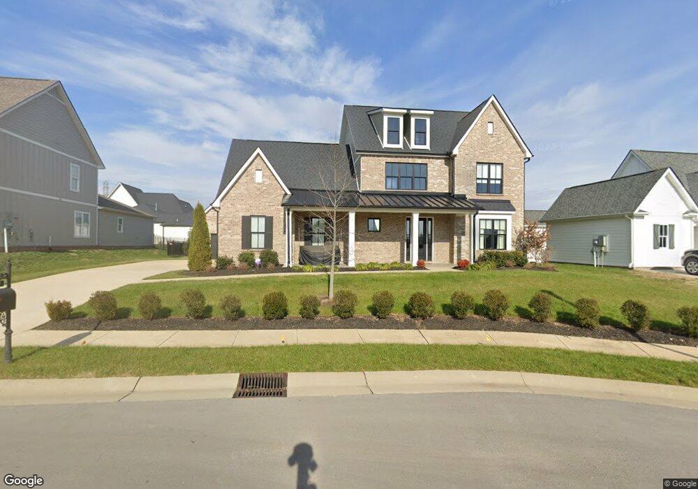
3017 Ranch Rd Mt. Juliet, TN 37122
Estimated Value: $937,000 - $971,000
5
Beds
4
Baths
3,788
Sq Ft
$252/Sq Ft
Est. Value
About This Home
This home is located at 3017 Ranch Rd, Mt. Juliet, TN 37122 and is currently estimated at $954,004, approximately $251 per square foot. 3017 Ranch Rd is a home located in Wilson County with nearby schools including Stoner Creek Elementary School, West Wilson Middle School, and Mt. Juliet High School.
Ownership History
Date
Name
Owned For
Owner Type
Purchase Details
Closed on
Oct 4, 2023
Sold by
Jarosinski John Michael and Jarosinski Tina M
Bought by
Cheryl R Foglia Revocable Trust and Foglia
Current Estimated Value
Purchase Details
Closed on
Dec 10, 2020
Sold by
Jackson Hills Partners Llc
Bought by
Jarosinski John Michael and Jarosinski Tina M
Home Financials for this Owner
Home Financials are based on the most recent Mortgage that was taken out on this home.
Original Mortgage
$544,396
Interest Rate
2.8%
Mortgage Type
New Conventional
Create a Home Valuation Report for This Property
The Home Valuation Report is an in-depth analysis detailing your home's value as well as a comparison with similar homes in the area
Home Values in the Area
Average Home Value in this Area
Purchase History
| Date | Buyer | Sale Price | Title Company |
|---|---|---|---|
| Cheryl R Foglia Revocable Trust | $950,000 | None Listed On Document | |
| Jarosinski John Michael | $604,885 | Windmill Title Llc | |
| Jarosinski John Michael | $604,885 | Windmill Title |
Source: Public Records
Mortgage History
| Date | Status | Borrower | Loan Amount |
|---|---|---|---|
| Previous Owner | Jarosinski John Michael | $544,396 |
Source: Public Records
Tax History Compared to Growth
Tax History
| Year | Tax Paid | Tax Assessment Tax Assessment Total Assessment is a certain percentage of the fair market value that is determined by local assessors to be the total taxable value of land and additions on the property. | Land | Improvement |
|---|---|---|---|---|
| 2024 | $2,943 | $154,175 | $27,500 | $126,675 |
| 2022 | $2,943 | $154,175 | $27,500 | $126,675 |
| 2021 | $3,113 | $154,175 | $27,500 | $126,675 |
| 2020 | -- | $154,175 | $27,500 | $126,675 |
Source: Public Records
Map
Nearby Homes
- 863 Plowson Rd
- 309 Croft Way
- 894 Plowson Rd
- Weston Plan at Bradshaw Farms - Estates
- Ansley Plan at Bradshaw Farms - Estates
- Buchanan Plan at Bradshaw Farms - Estates
- Kingston Plan at Bradshaw Farms - Estates
- Ashford Plan at Bradshaw Farms - Estates
- 1014 Zane Dr
- 1012 Zane Dr
- 1010 Zane Dr
- 1019 Zane Dr
- 270 Croft Way
- 1018 Zane Dr
- 1015 Zane Dr
- 1022 Zane Dr
- 4016 Willow Belle Dr
- 1100 Codah Dr
- 1101 Codah Dr
- 1104 Codah Dr