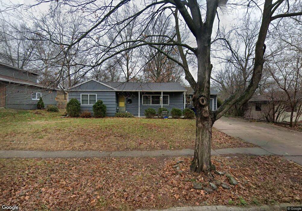
3017 W 8th St Lawrence, KS 66049
Sunset Hills NeighborhoodEstimated Value: $276,000 - $287,000
3
Beds
2
Baths
1,487
Sq Ft
$189/Sq Ft
Est. Value
About This Home
This home is located at 3017 W 8th St, Lawrence, KS 66049 and is currently estimated at $281,532, approximately $189 per square foot. 3017 W 8th St is a home located in Douglas County with nearby schools including Sunset Hill Elementary School, West Middle School, and Lawrence Free State High School.
Ownership History
Date
Name
Owned For
Owner Type
Purchase Details
Closed on
Apr 11, 2007
Sold by
Mcgill Apryl M and Bell Mcgill Apryl M
Bought by
Falin Zachary and Falin Darci
Current Estimated Value
Home Financials for this Owner
Home Financials are based on the most recent Mortgage that was taken out on this home.
Original Mortgage
$110,000
Outstanding Balance
$66,436
Interest Rate
6.13%
Mortgage Type
Purchase Money Mortgage
Estimated Equity
$215,096
Purchase Details
Closed on
May 12, 2004
Sold by
Dolembo Marie Adams and Dolembo Thomas
Bought by
Bell Mcgill Apryl M
Home Financials for this Owner
Home Financials are based on the most recent Mortgage that was taken out on this home.
Original Mortgage
$114,770
Interest Rate
5.97%
Mortgage Type
Purchase Money Mortgage
Create a Home Valuation Report for This Property
The Home Valuation Report is an in-depth analysis detailing your home's value as well as a comparison with similar homes in the area
Home Values in the Area
Average Home Value in this Area
Purchase History
| Date | Buyer | Sale Price | Title Company |
|---|---|---|---|
| Falin Zachary | -- | First American Title | |
| Bell Mcgill Apryl M | -- | First American Title |
Source: Public Records
Mortgage History
| Date | Status | Borrower | Loan Amount |
|---|---|---|---|
| Open | Falin Zachary | $110,000 | |
| Previous Owner | Bell Mcgill Apryl M | $114,770 |
Source: Public Records
Tax History Compared to Growth
Tax History
| Year | Tax Paid | Tax Assessment Tax Assessment Total Assessment is a certain percentage of the fair market value that is determined by local assessors to be the total taxable value of land and additions on the property. | Land | Improvement |
|---|---|---|---|---|
| 2025 | $3,454 | $30,567 | $7,475 | $23,092 |
| 2024 | $3,454 | $28,267 | $5,750 | $22,517 |
| 2023 | $3,279 | $25,743 | $5,520 | $20,223 |
| 2022 | $2,930 | $22,897 | $4,830 | $18,067 |
| 2021 | $2,664 | $20,068 | $3,795 | $16,273 |
| 2020 | $2,486 | $18,845 | $3,795 | $15,050 |
| 2019 | $2,312 | $17,564 | $3,795 | $13,769 |
| 2018 | $2,248 | $16,968 | $3,680 | $13,288 |
| 2017 | $2,102 | $15,709 | $3,680 | $12,029 |
| 2016 | $1,989 | $15,537 | $3,680 | $11,857 |
| 2015 | -- | $16,238 | $3,680 | $12,558 |
| 2014 | -- | $16,238 | $3,680 | $12,558 |
Source: Public Records
Map
Nearby Homes
- 3016 W 7th St
- 800 Madeline Ln
- 1008 Lawrence Ave
- 1014 Lawrence Ave
- 923 Crestline Dr
- 816 Crestline Dr
- 3025 Wellington Ct
- 2600 Oxford Rd
- 3404 Oxford Ct
- 1214 Crestline Dr
- 3408 W 13th St
- 503 Abilene St
- 2822 University Dr
- 3600 Parkview Ct
- 1319 Westbrooke St
- 3607 Crestview Rd
- 1339 Westbrooke St
- 214 Lawrence Ave
- 3721 Pinnacle Ct
- 1424 Applegate Ct Unit A