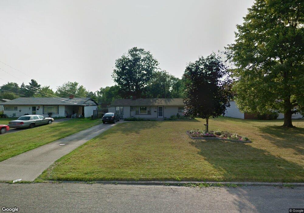
3018 Redgate Ln Youngstown, OH 44511
Austintown NeighborhoodEstimated Value: $145,000 - $166,000
4
Beds
2
Baths
1,404
Sq Ft
$112/Sq Ft
Est. Value
About This Home
This home is located at 3018 Redgate Ln, Youngstown, OH 44511 and is currently estimated at $157,681, approximately $112 per square foot. 3018 Redgate Ln is a home located in Mahoning County with nearby schools including Austintown Elementary School, Austintown Intermediate School, and Austintown Middle School.
Ownership History
Date
Name
Owned For
Owner Type
Purchase Details
Closed on
Sep 14, 2004
Sold by
Slagle William E and Slagle Faith
Bought by
Ruff Diane
Current Estimated Value
Home Financials for this Owner
Home Financials are based on the most recent Mortgage that was taken out on this home.
Original Mortgage
$62,000
Outstanding Balance
$30,819
Interest Rate
5.93%
Mortgage Type
New Conventional
Estimated Equity
$126,862
Purchase Details
Closed on
Mar 22, 1999
Sold by
Thompson Scott V and Jeannie Thompson S
Bought by
Slagle William E and Slagle Faith
Purchase Details
Closed on
Jul 10, 1997
Sold by
Abou Osmon Wanda K and Abou Osmon Ahmad Ali
Bought by
Thompson Scott and Jeannie Thompson S
Purchase Details
Closed on
Dec 22, 1989
Bought by
Abou-Osman Wanda K
Create a Home Valuation Report for This Property
The Home Valuation Report is an in-depth analysis detailing your home's value as well as a comparison with similar homes in the area
Home Values in the Area
Average Home Value in this Area
Purchase History
| Date | Buyer | Sale Price | Title Company |
|---|---|---|---|
| Ruff Diane | -- | -- | |
| Slagle William E | $66,900 | -- | |
| Thompson Scott | $57,000 | -- | |
| Abou-Osman Wanda K | $38,400 | -- |
Source: Public Records
Mortgage History
| Date | Status | Borrower | Loan Amount |
|---|---|---|---|
| Open | Ruff Diane | $62,000 | |
| Closed | Thompson Scott | $0 | |
| Closed | Ruff Diane | $15,500 |
Source: Public Records
Tax History Compared to Growth
Tax History
| Year | Tax Paid | Tax Assessment Tax Assessment Total Assessment is a certain percentage of the fair market value that is determined by local assessors to be the total taxable value of land and additions on the property. | Land | Improvement |
|---|---|---|---|---|
| 2024 | $1,302 | $28,030 | $4,400 | $23,630 |
| 2023 | $1,279 | $28,030 | $4,400 | $23,630 |
| 2022 | $1,079 | $18,940 | $3,490 | $15,450 |
| 2021 | $1,080 | $18,940 | $3,490 | $15,450 |
| 2020 | $1,084 | $18,940 | $3,490 | $15,450 |
| 2019 | $868 | $13,520 | $2,490 | $11,030 |
| 2018 | $837 | $13,520 | $2,490 | $11,030 |
| 2017 | $878 | $13,520 | $2,490 | $11,030 |
| 2016 | $935 | $15,290 | $3,810 | $11,480 |
| 2015 | $907 | $15,290 | $3,810 | $11,480 |
| 2014 | $911 | $15,290 | $3,810 | $11,480 |
| 2013 | $901 | $15,290 | $3,810 | $11,480 |
Source: Public Records
Map
Nearby Homes
- 3300 Briarwood Ln
- 2500 Redgate Ln
- 3662 Monaca Ave
- 2699 Hamman Dr
- 2430 Redgate Ln
- 3401 Susan Cir
- 3913 Claridge Dr
- 4101 Canfield Rd
- 40 Woodleigh Ct
- 4241 Wedgewood Dr
- 4289 Wedgewood Dr
- 4166 Burgett Ln
- 3852 Edinburgh Dr
- 4235 Patricia Ave
- 3890 Ayrshire Dr
- 3873 Whippoorwill Ln
- 3798 S Raccoon Rd
- 2108 Cranbrook Dr
- 4314 Kerrybrook Dr
- 4232 Adeer Dr
- 3026 Redgate Ln
- 3010 Redgate Ln
- 3034 Red Gate Ln
- 3034 Redgate Ln
- 2938 Redgate Ln
- 3011 Bainbridge Ave
- 3019 Bainbridge Ave
- 2930 Redgate Ln
- 3042 Redgate Ln
- 2937 Bainbridge Ave
- 3027 Bainbridge Ave
- 3019 Redgate Ln
- 3027 Redgate Ln
- 3011 Redgate Ln
- 2914 Redgate Ln
- 3035 Redgate Ln
- 2929 Bainbridge Ave
- 2937 Redgate Ln
- 3043 Bainbridge Ave
- 3043 Redgate Ln