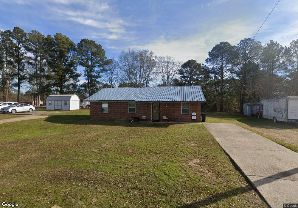
302 N Massengill St Hazlehurst, MS 39083
Estimated Value: $63,000 - $78,000
3
Beds
1
Bath
1,181
Sq Ft
$58/Sq Ft
Est. Value
About This Home
This home is located at 302 N Massengill St, Hazlehurst, MS 39083 and is currently estimated at $69,044, approximately $58 per square foot. 302 N Massengill St is a home located in Copiah County with nearby schools including Hazlehurst Middle School and Hazlehurst High School.
Ownership History
Date
Name
Owned For
Owner Type
Purchase Details
Closed on
Nov 10, 2009
Sold by
Pillai Iyavu
Bought by
Cubit Derrick and Cubit Semekia
Current Estimated Value
Home Financials for this Owner
Home Financials are based on the most recent Mortgage that was taken out on this home.
Original Mortgage
$35,927
Interest Rate
5.89%
Mortgage Type
Purchase Money Mortgage
Purchase Details
Closed on
Oct 10, 2007
Sold by
Wells Fargo Bank N.A.
Bought by
Pillai Iyavu
Create a Home Valuation Report for This Property
The Home Valuation Report is an in-depth analysis detailing your home's value as well as a comparison with similar homes in the area
Home Values in the Area
Average Home Value in this Area
Purchase History
| Date | Buyer | Sale Price | Title Company |
|---|---|---|---|
| Cubit Derrick | -- | -- | |
| Pillai Iyavu | -- | -- |
Source: Public Records
Mortgage History
| Date | Status | Borrower | Loan Amount |
|---|---|---|---|
| Closed | Cubit Derrick | $35,927 |
Source: Public Records
Tax History Compared to Growth
Tax History
| Year | Tax Paid | Tax Assessment Tax Assessment Total Assessment is a certain percentage of the fair market value that is determined by local assessors to be the total taxable value of land and additions on the property. | Land | Improvement |
|---|---|---|---|---|
| 2025 | $201 | $4,962 | $0 | $0 |
| 2024 | $201 | $4,395 | $0 | $0 |
| 2023 | $201 | $4,395 | $0 | $0 |
| 2022 | $204 | $4,395 | $0 | $0 |
| 2021 | $201 | $4,395 | $0 | $0 |
| 2020 | $202 | $4,270 | $0 | $0 |
| 2019 | $221 | $4,270 | $0 | $0 |
| 2018 | $211 | $4,270 | $0 | $0 |
| 2017 | $195 | $4,270 | $0 | $0 |
| 2016 | $195 | $4,256 | $0 | $0 |
| 2015 | -- | $4,256 | $0 | $0 |
| 2014 | -- | $4,256 | $0 | $0 |
Source: Public Records
Map
Nearby Homes
- 0 E Whitworth St
- 613 Georgetown St
- 256 Pinehurst Cir
- 209 Downing St
- 744 Georgetown St
- 330 S Extension St
- 0 Carlisle St
- 3010 Georgetown St
- 3048 Georgetown St
- 1006 Charles Howard Dr
- 1004 Bethesda Rd
- 2081 Gallatin St
- 1015 Herbert Ln
- 3064 E Whitworth St
- 1142 Henley Cir
- 3152 Old Natchez Rd
- 3200 Tower Rd
- 21032 Us-51
- 0 Whitetown Ln
- 4 Whitetown Ln
- 306 N Massengill St
- 103 Nelson Dr
- 109 Gray Dr
- 105 Gray Dr
- 301 N Massengill St
- 303 N Massengill St
- 308 N Massengill St
- 304 N Massengill St
- 107 Nelson Dr
- 111 Gray Dr
- 307 N Massengill St
- 117 Gray Dr
- 242 Saint Charles St
- 242 Saint Charles St
- 305 N Massengill St
- 121 Gray Dr
- 102 Nelson Dr
- 310 N Massengill St
- 106 Nelson Dr
- 108 Gray Dr