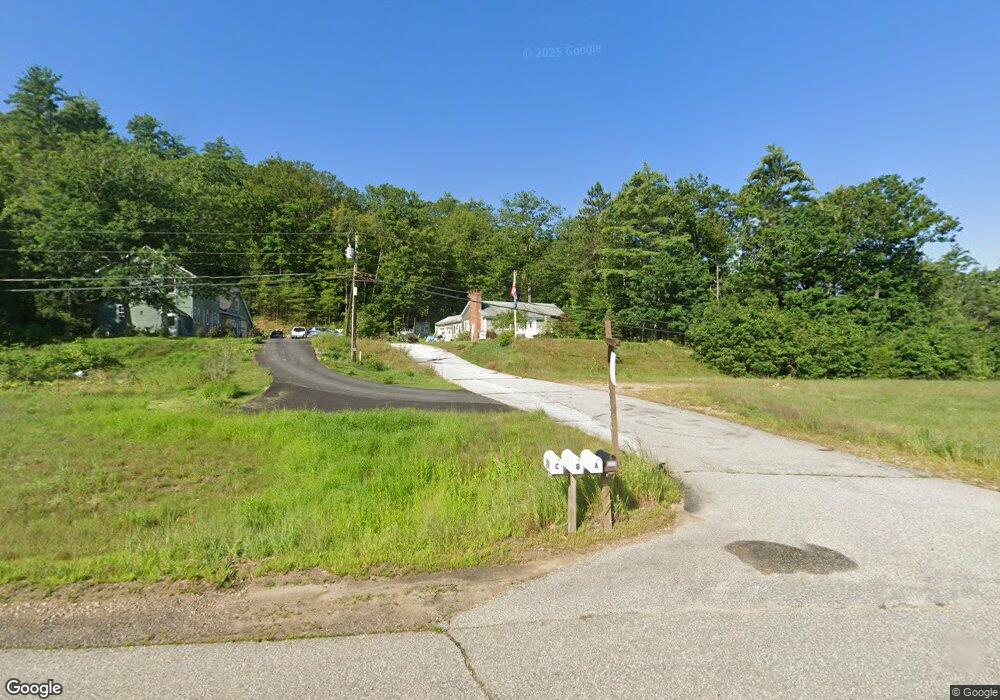
302 Route 106 S Loudon, NH 03307
Estimated Value: $390,026 - $467,000
2
Beds
2
Baths
1,535
Sq Ft
$278/Sq Ft
Est. Value
About This Home
This home is located at 302 Route 106 S, Loudon, NH 03307 and is currently estimated at $426,257, approximately $277 per square foot. 302 Route 106 S is a home located in Merrimack County with nearby schools including Loudon Elementary School, Merrimack Valley Middle School, and Merrimack Valley High School.
Ownership History
Date
Name
Owned For
Owner Type
Purchase Details
Closed on
May 28, 2014
Sold by
Loudon Town Of
Bought by
Crossman Joel and Crossman Katherine
Current Estimated Value
Purchase Details
Closed on
Apr 30, 1997
Sold by
Prescott Stanley H and Prescott Maureen M
Bought by
Crossman Joel A and Crossman Katherine L
Home Financials for this Owner
Home Financials are based on the most recent Mortgage that was taken out on this home.
Original Mortgage
$38,200
Interest Rate
7.85%
Mortgage Type
Purchase Money Mortgage
Create a Home Valuation Report for This Property
The Home Valuation Report is an in-depth analysis detailing your home's value as well as a comparison with similar homes in the area
Home Values in the Area
Average Home Value in this Area
Purchase History
| Date | Buyer | Sale Price | Title Company |
|---|---|---|---|
| Crossman Joel | -- | -- | |
| Crossman Joel A | $65,000 | -- |
Source: Public Records
Mortgage History
| Date | Status | Borrower | Loan Amount |
|---|---|---|---|
| Previous Owner | Crossman Joel A | $38,200 |
Source: Public Records
Tax History Compared to Growth
Tax History
| Year | Tax Paid | Tax Assessment Tax Assessment Total Assessment is a certain percentage of the fair market value that is determined by local assessors to be the total taxable value of land and additions on the property. | Land | Improvement |
|---|---|---|---|---|
| 2024 | $5,554 | $238,900 | $69,300 | $169,600 |
| 2023 | $4,979 | $238,900 | $69,300 | $169,600 |
| 2022 | $4,432 | $238,900 | $69,300 | $169,600 |
| 2021 | $4,587 | $238,900 | $69,300 | $169,600 |
| 2020 | $440 | $167,300 | $64,700 | $102,600 |
| 2019 | $4,322 | $167,300 | $64,700 | $102,600 |
| 2018 | $3,691 | $167,300 | $64,700 | $102,600 |
| 2017 | $3,724 | $167,300 | $64,700 | $102,600 |
| 2016 | $3,510 | $167,300 | $64,700 | $102,600 |
| 2015 | $3,466 | $167,700 | $64,700 | $103,000 |
| 2014 | $3,490 | $167,700 | $64,700 | $103,000 |
| 2013 | $3,473 | $167,700 | $64,700 | $103,000 |
Source: Public Records
Map
Nearby Homes
- 00 Wales Bridge Rd Unit 5
- 438 Route 106 S
- 31 Ilona Ln
- 18 Ked Dr
- 239 Ricker Rd
- 39 Route 129
- 5 Midmark Ln
- 7 John Hardie Way
- 24 John Hardie Way
- 361 Dover Rd
- 3 Pierce Ln
- 71 Goshen Dr
- 762 Robinson Rd
- 92 Piper Hill Rd
- 66 Staniels Rd
- 15 Canterbury Rd
- 47 Clearview Dr
- 294 Portsmouth St
- 370 Shaker Rd
- 15 Hothole Pond Rd
- 17 Pine Ridge Rd
- 13 Pine Ridge Rd
- 11 Pine Ridge Rd
- 9 Pine Ridge Rd
- 314 Route 106 S
- 10 Pine Ridge Rd
- 108 Wales Bridge Rd
- 25 Riverview Ln
- 336 Route 106 S
- 342 New Hampshire 106
- 4 Pine Ridge Rd
- 8 Pine Ridge Rd
- 348 Route 106 S
- 31 Riverview Ln
- 352 Route 106 S
- 308 New Hampshire 106
- 83 Wales Bridge Rd
- 47 Riverview Ln
- 87 Redwood Rd