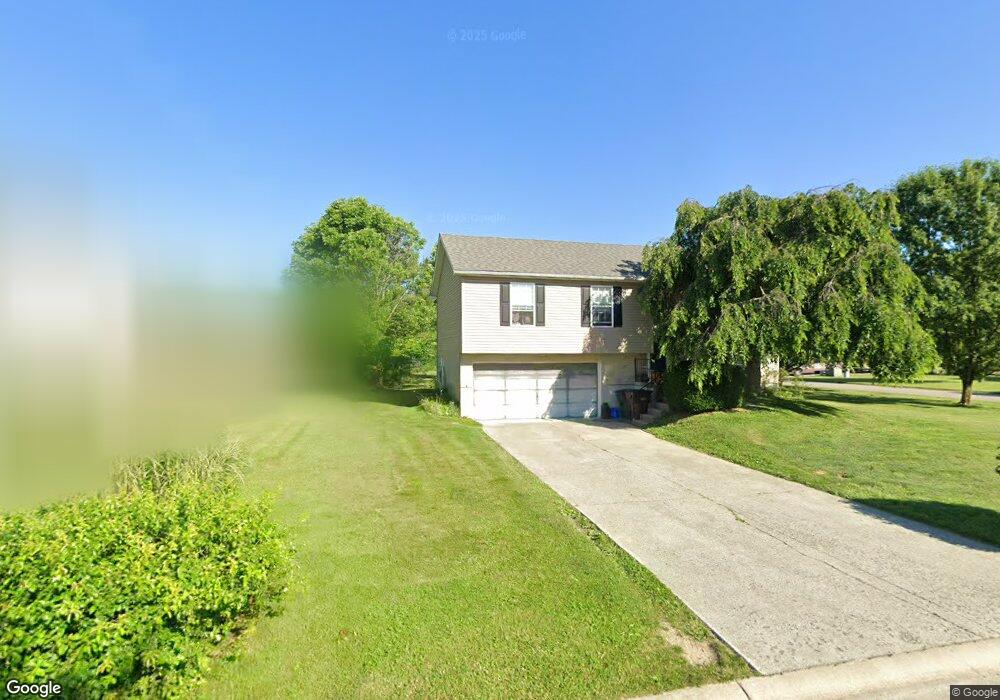
302 S Michele Dr Mount Orab, OH 45154
Estimated Value: $245,000 - $273,000
3
Beds
2
Baths
1,570
Sq Ft
$168/Sq Ft
Est. Value
About This Home
This home is located at 302 S Michele Dr, Mount Orab, OH 45154 and is currently estimated at $264,403, approximately $168 per square foot. 302 S Michele Dr is a home located in Brown County with nearby schools including Western Brown High School.
Ownership History
Date
Name
Owned For
Owner Type
Purchase Details
Closed on
Jun 24, 2005
Sold by
Wyatt Lowell N and Wyatt Juanita G
Bought by
Owens Mary Kay
Current Estimated Value
Home Financials for this Owner
Home Financials are based on the most recent Mortgage that was taken out on this home.
Original Mortgage
$120,115
Outstanding Balance
$62,667
Interest Rate
5.75%
Mortgage Type
FHA
Estimated Equity
$201,736
Purchase Details
Closed on
Sep 26, 2002
Sold by
Gorman Raymond
Bought by
Wyatt Lowell N and Wyatt Juanita G
Create a Home Valuation Report for This Property
The Home Valuation Report is an in-depth analysis detailing your home's value as well as a comparison with similar homes in the area
Home Values in the Area
Average Home Value in this Area
Purchase History
| Date | Buyer | Sale Price | Title Company |
|---|---|---|---|
| Owens Mary Kay | $122,000 | -- | |
| Wyatt Lowell N | $97,900 | -- |
Source: Public Records
Mortgage History
| Date | Status | Borrower | Loan Amount |
|---|---|---|---|
| Open | Owens Mary Kay | $120,115 |
Source: Public Records
Tax History
| Year | Tax Paid | Tax Assessment Tax Assessment Total Assessment is a certain percentage of the fair market value that is determined by local assessors to be the total taxable value of land and additions on the property. | Land | Improvement |
|---|---|---|---|---|
| 2024 | $2,352 | $75,790 | $9,100 | $66,690 |
| 2023 | $2,351 | $47,500 | $8,320 | $39,180 |
| 2022 | $1,596 | $47,500 | $8,320 | $39,180 |
| 2021 | $1,532 | $47,500 | $8,320 | $39,180 |
| 2020 | $1,345 | $39,570 | $6,930 | $32,640 |
| 2019 | $1,434 | $39,570 | $6,930 | $32,640 |
| 2018 | $1,454 | $39,570 | $6,930 | $32,640 |
| 2017 | $1,264 | $33,540 | $6,930 | $26,610 |
| 2016 | $1,265 | $33,540 | $6,930 | $26,610 |
| 2015 | $1,209 | $33,540 | $6,930 | $26,610 |
| 2014 | $1,213 | $32,910 | $6,300 | $26,610 |
| 2013 | $1,210 | $32,910 | $6,300 | $26,610 |
Source: Public Records
Map
Nearby Homes
- 317 Robin Ave
- 329 E Main St
- 402 E Main St
- 203 Bingaman Ln
- 506 E Main St
- 0 State Route 32 Unit 1795308
- 206 Bingaman Ln
- 108 Lonny St
- 106 Lonny St
- 3517 Bardwell Buford Rd
- 4488 Bardwell Buford Rd
- 208 Gregory St
- 214 Gregory St
- 106 Haylee Dr
- 0 Donley Rd Unit 1859270
- 106 Nathans Ln
- 3387 Trabecca Ln
- 422 Liming Farm Rd
- 105 Maple Ridge Ave
- 0 Bardwell W Unit 1854344
- 304 S Michele Dr
- 418 Robin Ave
- 323 Robin Ave
- 306 S Michele Dr
- 321 Robin Ave
- 425 Robin Ave
- 205 Katelin Ln
- 416 Robin Ave
- 305 S Michele Dr
- 314 Robin Ave
- 319 Robin Ave
- 308 S Michele Dr
- 207 Katelin Ln
- 307 S Michele Dr
- 427 Robin Ave
- 420 Robin Ave
- 209 Katelin Ln
- 429 Robin Ave
- 310 S Michele Dr
- 309 S Michele Dr
Your Personal Tour Guide
Ask me questions while you tour the home.