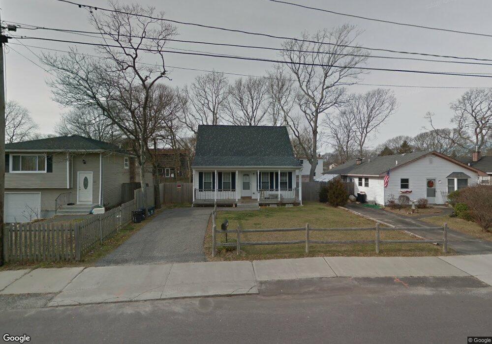
302 William Floyd Pkwy Shirley, NY 11967
Estimated Value: $466,000 - $515,279
3
Beds
2
Baths
1,418
Sq Ft
$351/Sq Ft
Est. Value
About This Home
This home is located at 302 William Floyd Pkwy, Shirley, NY 11967 and is currently estimated at $497,070, approximately $350 per square foot. 302 William Floyd Pkwy is a home located in Suffolk County with nearby schools including John S. Hobart Elementary School, William Paca Middle School, and William Floyd High School.
Ownership History
Date
Name
Owned For
Owner Type
Purchase Details
Closed on
Jun 13, 2008
Sold by
Haase George
Bought by
Mochizuki Ryoko
Current Estimated Value
Home Financials for this Owner
Home Financials are based on the most recent Mortgage that was taken out on this home.
Original Mortgage
$640,000
Outstanding Balance
$411,734
Interest Rate
6.1%
Mortgage Type
Commercial
Estimated Equity
$85,336
Purchase Details
Closed on
Jun 29, 2007
Sold by
Friendship Beach Land Inc
Bought by
Baker Milton
Create a Home Valuation Report for This Property
The Home Valuation Report is an in-depth analysis detailing your home's value as well as a comparison with similar homes in the area
Home Values in the Area
Average Home Value in this Area
Purchase History
| Date | Buyer | Sale Price | Title Company |
|---|---|---|---|
| Mochizuki Ryoko | $800,000 | -- | |
| Baker Milton | $286,958 | Wm Lavelle |
Source: Public Records
Mortgage History
| Date | Status | Borrower | Loan Amount |
|---|---|---|---|
| Open | Mochizuki Ryoko | $640,000 |
Source: Public Records
Tax History Compared to Growth
Tax History
| Year | Tax Paid | Tax Assessment Tax Assessment Total Assessment is a certain percentage of the fair market value that is determined by local assessors to be the total taxable value of land and additions on the property. | Land | Improvement |
|---|---|---|---|---|
| 2024 | $7,511 | $2,000 | $200 | $1,800 |
| 2023 | $7,511 | $2,000 | $200 | $1,800 |
| 2022 | $7,927 | $2,000 | $200 | $1,800 |
| 2021 | $7,927 | $2,000 | $200 | $1,800 |
| 2020 | $8,118 | $2,000 | $200 | $1,800 |
| 2019 | $8,118 | $0 | $0 | $0 |
| 2018 | $7,787 | $2,000 | $200 | $1,800 |
| 2017 | $7,787 | $2,000 | $200 | $1,800 |
| 2016 | $7,801 | $2,000 | $200 | $1,800 |
| 2015 | -- | $2,000 | $200 | $1,800 |
| 2014 | -- | $2,000 | $200 | $1,800 |
Source: Public Records
Map
Nearby Homes
- 14 Wellwood Dr
- 0 Maplewood Dr
- 11 Sagewood Dr
- 59 Oakwood Dr
- 33 Ashwood Dr
- 516 Neighborhood Rd
- 46 Arpage Dr E
- 12 Deer Path
- 19 Birchwood Dr
- 52 Arpage Dr E
- 4 Beechwood Dr
- 514 Neighborhood Rd
- 43 Chanel Dr E
- 17 Golden Gate Dr
- 55 Pinewood Dr
- 487 Neighborhood Rd
- 9 Brushwood Dr
- 288 William Floyd Pkwy
- 27 Pinewood Dr
- 40 Pinewood Dr
- 300 William Floyd Pkwy
- 304 William Floyd Pkwy
- 298 William Floyd Pkwy
- 306 William Floyd Pkwy
- 33 Thornwood Dr
- 31 Thornwood Dr
- 35 Thornwood Dr
- 37 Thornwood Dr
- 296 William Floyd Pkwy
- 308 William Floyd Pkwy
- 41 Thornwood Dr
- 297 William Floyd Pkwy
- 292 William Floyd Pkwy
- 293 William Floyd Pkwy
- 312 William Floyd Pkwy
- 301 William Floyd Pkwy
- 30 Thornwood Dr
- 34 Thornwood Dr
- 291 William Floyd Pkwy
- 45 Thornwood Dr