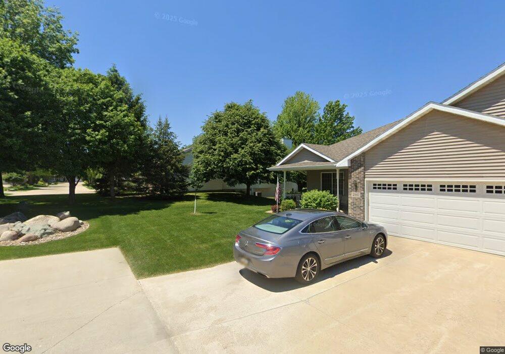
3027 Pheasant Dr Unit A Cedar Falls, IA 50613
Estimated Value: $349,000 - $368,000
2
Beds
3
Baths
1,725
Sq Ft
$210/Sq Ft
Est. Value
About This Home
This home is located at 3027 Pheasant Dr Unit A, Cedar Falls, IA 50613 and is currently estimated at $362,388, approximately $210 per square foot. 3027 Pheasant Dr Unit A is a home located in Black Hawk County with nearby schools including Helen A. Hansen Elementary School, Holmes Junior High School, and Cedar Falls High School.
Ownership History
Date
Name
Owned For
Owner Type
Purchase Details
Closed on
Nov 15, 2012
Sold by
Obrien Kenneth J and Obrien Cheryl V
Bought by
Pedersen Dean A and Pedersen Janet M
Current Estimated Value
Home Financials for this Owner
Home Financials are based on the most recent Mortgage that was taken out on this home.
Original Mortgage
$200,000
Outstanding Balance
$117,468
Interest Rate
3.37%
Mortgage Type
New Conventional
Estimated Equity
$244,920
Purchase Details
Closed on
Aug 12, 2008
Sold by
Treiber Raymond J and Treiber Kay M
Bought by
Budlong Cheryl V
Home Financials for this Owner
Home Financials are based on the most recent Mortgage that was taken out on this home.
Original Mortgage
$70,000
Interest Rate
6.31%
Mortgage Type
New Conventional
Create a Home Valuation Report for This Property
The Home Valuation Report is an in-depth analysis detailing your home's value as well as a comparison with similar homes in the area
Home Values in the Area
Average Home Value in this Area
Purchase History
| Date | Buyer | Sale Price | Title Company |
|---|---|---|---|
| Pedersen Dean A | $256,000 | None Available | |
| Budlong Cheryl V | $240,000 | Black Hawk County Abstract & |
Source: Public Records
Mortgage History
| Date | Status | Borrower | Loan Amount |
|---|---|---|---|
| Open | Pedersen Dean A | $200,000 | |
| Previous Owner | Budlong Cheryl V | $70,000 |
Source: Public Records
Tax History Compared to Growth
Tax History
| Year | Tax Paid | Tax Assessment Tax Assessment Total Assessment is a certain percentage of the fair market value that is determined by local assessors to be the total taxable value of land and additions on the property. | Land | Improvement |
|---|---|---|---|---|
| 2025 | $5,026 | $352,150 | $21,870 | $330,280 |
| 2024 | $5,026 | $344,650 | $21,870 | $322,780 |
| 2023 | $4,468 | $344,650 | $21,870 | $322,780 |
| 2022 | $4,520 | $254,340 | $19,440 | $234,900 |
| 2021 | $4,514 | $254,340 | $19,440 | $234,900 |
| 2020 | $4,420 | $254,340 | $19,440 | $234,900 |
| 2019 | $4,420 | $254,340 | $19,440 | $234,900 |
| 2018 | $4,252 | $242,160 | $19,440 | $222,720 |
| 2017 | $4,350 | $242,160 | $19,440 | $222,720 |
| 2016 | $4,066 | $242,160 | $19,440 | $222,720 |
| 2015 | $4,066 | $242,160 | $19,440 | $222,720 |
| 2014 | $4,114 | $242,160 | $19,440 | $222,720 |
Source: Public Records
Map
Nearby Homes
- 2907 W 3rd St
- 3702 Apollo St
- 3413 Pheasant Dr
- 223 Winding Ridge Rd
- 3603 Apollo St
- 538 Fireside Dr
- 0 W 1st St
- 2706 Country Meadow Ln
- 2201 W 8th St
- 502 Oak Park Blvd
- 4032 Wynnewood Dr
- 2126 Oxford Ln
- 2214 Coventry Ln
- 1025 Lakeshore Dr
- 2126 Coventry Ln
- 4124 Thresher Ct Unit 306
- 4128 Shocker Rd
- 1104 Warwick Dr
- 4209 Thresher Ct
- 423 Chateau Ct
- 3027 Pheasant Dr Unit B
- 3029 Pheasant Dr Unit B
- 3029 Pheasant Dr Unit A
- 3035 Pheasant Dr Unit D
- 3035 Pheasant Dr Unit C
- 3035 Pheasant Dr Unit A
- 3025 Pheasant Dr Unit B
- 3025 Pheasant Dr Unit A
- 3023 Pheasant Dr Unit A
- 3023 Pheasant Dr Unit B
- 3008 Apollo St
- 3018 Apollo St
- 3002 Apollo St
- 3026 Apollo St
- 3011 W 4th St
- 2912 W 3rd St Unit B
- 3003 W 4th St
- 2922 Apollo St
- 3105 Pheasant Dr
- 2909 W 3rd St Unit A