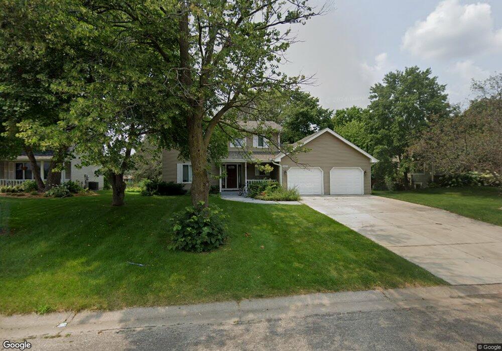
3029 Dorland Rd N Saint Paul, MN 55109
Maplewood Heights NeighborhoodEstimated Value: $454,000 - $486,000
5
Beds
3
Baths
2,988
Sq Ft
$158/Sq Ft
Est. Value
About This Home
This home is located at 3029 Dorland Rd N, Saint Paul, MN 55109 and is currently estimated at $473,240, approximately $158 per square foot. 3029 Dorland Rd N is a home located in Ramsey County with nearby schools including Richardson Elementary School, John Glenn Middle School, and Christ Lutheran School.
Ownership History
Date
Name
Owned For
Owner Type
Purchase Details
Closed on
Aug 20, 2014
Sold by
Farah Amina Nur
Bought by
Abdulle Osman M
Current Estimated Value
Purchase Details
Closed on
Dec 13, 2013
Sold by
Secretary Of Housing & Urban Development
Bought by
Abdulle Osman Mohamud
Purchase Details
Closed on
Aug 5, 2013
Sold by
Citimortgage Inc
Bought by
The Secretary Of Housing & Urban Develop
Purchase Details
Closed on
Jan 30, 2009
Sold by
Xiong Yong Chue and Vang Linda
Bought by
Citimortgage Inc
Create a Home Valuation Report for This Property
The Home Valuation Report is an in-depth analysis detailing your home's value as well as a comparison with similar homes in the area
Home Values in the Area
Average Home Value in this Area
Purchase History
| Date | Buyer | Sale Price | Title Company |
|---|---|---|---|
| Abdulle Osman M | $515 | None Available | |
| Abdulle Osman Mohamud | -- | Ancona Title & Escrow | |
| The Secretary Of Housing & Urban Develop | -- | None Available | |
| Citimortgage Inc | $342,732 | None Available |
Source: Public Records
Tax History Compared to Growth
Tax History
| Year | Tax Paid | Tax Assessment Tax Assessment Total Assessment is a certain percentage of the fair market value that is determined by local assessors to be the total taxable value of land and additions on the property. | Land | Improvement |
|---|---|---|---|---|
| 2025 | $5,960 | $467,900 | $67,400 | $400,500 |
| 2023 | $5,960 | $417,400 | $67,400 | $350,000 |
| 2022 | $5,386 | $405,300 | $67,400 | $337,900 |
| 2021 | $5,188 | $362,000 | $67,400 | $294,600 |
| 2020 | $5,132 | $356,900 | $67,400 | $289,500 |
| 2019 | $4,800 | $331,000 | $67,400 | $263,600 |
| 2018 | $4,822 | $315,900 | $67,400 | $248,500 |
| 2017 | $5,196 | $297,400 | $67,400 | $230,000 |
| 2016 | $4,926 | $0 | $0 | $0 |
| 2015 | $3,306 | $290,000 | $60,000 | $230,000 |
| 2014 | $4,224 | $0 | $0 | $0 |
Source: Public Records
Map
Nearby Homes
- 2340 Standridge Ave
- 2974 Winthrop Dr
- 2237 Maple Ln E
- 2321 Beam Ave
- 2911 Bartelmy Ln
- 2994 Mary St
- 2065 Woodlynn Ave
- 3175 Manitou Dr Unit 8
- 3167 Manitou Dr Unit 7
- 3148 Manitou Dr
- 2800 1st St N
- 3126 Manitou Dr
- 2523 Sumac Ridge
- 2739 Chippewa Ave
- 2735 Delaware Ave
- 2112 Radatz Ave
- 2729 Chippewa Ave
- 2556 Sumac Cir
- 2572 Sumac Ridge
- 3150 Glen Oaks Ave Unit 311
- 3029 Dorland Rd
- 3035 Dorland Rd
- 3023 Dorland Rd
- 3030 Standridge Place
- 3024 Standridge Place
- 3041 Dorland Rd
- 3017 Dorland Rd
- 3038 Standridge Place
- 3016 Standridge Place
- 3024 Dorland Rd
- 3032 Dorland Rd
- 3018 Dorland Rd
- 3008 Standridge Place
- 3044 Standridge Place
- 3047 Dorland Rd
- 3012 Dorland Rd
- 3040 Dorland Rd
- 3007 Dorland Rd
- 2362 Brenwood Curve
- 3000 Standridge Place