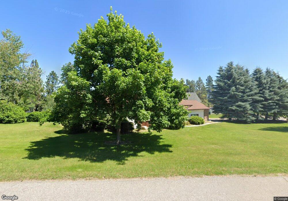
303 Dairy Dr Kalispell, MT 59901
Estimated Value: $656,335 - $745,000
4
Beds
3
Baths
2,915
Sq Ft
$236/Sq Ft
Est. Value
About This Home
This home is located at 303 Dairy Dr, Kalispell, MT 59901 and is currently estimated at $687,834, approximately $235 per square foot. 303 Dairy Dr is a home located in Flathead County with nearby schools including Edgerton School, Kalispell Middle School, and Glacier High School.
Ownership History
Date
Name
Owned For
Owner Type
Purchase Details
Closed on
Nov 3, 2009
Sold by
Redgate Nancy A
Bought by
Redgate Stephen
Current Estimated Value
Home Financials for this Owner
Home Financials are based on the most recent Mortgage that was taken out on this home.
Original Mortgage
$220,800
Interest Rate
4.78%
Mortgage Type
New Conventional
Purchase Details
Closed on
May 16, 2007
Sold by
Redgate Stephen V and Redgate Steve V
Bought by
Redgate Stephen and Redgate Nancy A
Home Financials for this Owner
Home Financials are based on the most recent Mortgage that was taken out on this home.
Original Mortgage
$145,000
Interest Rate
6.17%
Mortgage Type
New Conventional
Purchase Details
Closed on
May 14, 2007
Sold by
Nelson Maurice D and Nelson Carol L
Bought by
Redgate Steve
Home Financials for this Owner
Home Financials are based on the most recent Mortgage that was taken out on this home.
Original Mortgage
$145,000
Interest Rate
6.17%
Mortgage Type
New Conventional
Create a Home Valuation Report for This Property
The Home Valuation Report is an in-depth analysis detailing your home's value as well as a comparison with similar homes in the area
Purchase History
| Date | Buyer | Sale Price | Title Company |
|---|---|---|---|
| Redgate Stephen | -- | Alliance Title | |
| Redgate Stephen | -- | Alliance Title | |
| Redgate Steve | -- | Alliance Title |
Source: Public Records
Mortgage History
| Date | Status | Borrower | Loan Amount |
|---|---|---|---|
| Previous Owner | Redgate Stephen | $220,800 | |
| Previous Owner | Redgate Steve | $145,000 |
Source: Public Records
Tax History
| Year | Tax Paid | Tax Assessment Tax Assessment Total Assessment is a certain percentage of the fair market value that is determined by local assessors to be the total taxable value of land and additions on the property. | Land | Improvement |
|---|---|---|---|---|
| 2025 | $2,878 | $681,900 | $0 | $0 |
| 2024 | $3,292 | $515,200 | $0 | $0 |
| 2023 | $3,312 | $515,200 | $0 | $0 |
| 2022 | $2,882 | $341,100 | $0 | $0 |
| 2021 | $3,011 | $341,100 | $0 | $0 |
| 2020 | $2,945 | $323,600 | $0 | $0 |
| 2019 | $2,940 | $323,600 | $0 | $0 |
| 2018 | $2,847 | $301,000 | $0 | $0 |
| 2017 | $2,493 | $301,000 | $0 | $0 |
| 2016 | $2,577 | $300,600 | $0 | $0 |
| 2015 | $2,615 | $300,600 | $0 | $0 |
| 2014 | $2,481 | $170,660 | $0 | $0 |
Source: Public Records
Map
Nearby Homes
- 348 Stillwater Loop
- 105 Garden Dr Unit A
- 194 Arbour Dr
- 26 Kintla Way
- 292 E Bowman Dr
- 50 Dawson Ln
- 44 Dawson Ln
- 11 Grizzly Way
- NHN Lincoln St
- 439 Rivers Edge Loop
- 212 Junebug Ct
- 112 Owens Ct
- 118 Essex Place
- 208 Junebug Ct
- 580 Cascade Loop
- 106 Lumberjack Place
- 114 Lumberjack Place
- 451 Rivers Edge Loop
- 462 Rivers Edge Loop
- 470 Rivers Edge Loop
- 213 Arbour Dr E
- 204 Arbour Dr E
- 301 Stillwater Loop
- 212 Arbour Dr E
- 197 Arbour Dr E
- 217 Arbour Dr E
- 293 Dairy Dr
- 200 Arbour Dr E
- 289 Dairy Dr
- 373 Stillwater Loop
- 283 Sulky Ln
- 216 Arbour Dr E
- 196 Arbour Dr E
- 193 Arbour Dr E
- 287 Sulky Ln
- 292 Dairy Dr
- 285 Dairy Dr
- 225 Arbour Dr E
- 284 Dairy Dr
- 281 Dairy Dr
Your Personal Tour Guide
Ask me questions while you tour the home.