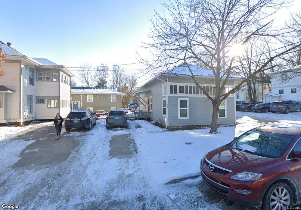
303 W 13th St Lawrence, KS 66044
Oread NeighborhoodEstimated Value: $206,000 - $242,000
3
Beds
1
Bath
990
Sq Ft
$226/Sq Ft
Est. Value
About This Home
This home is located at 303 W 13th St, Lawrence, KS 66044 and is currently estimated at $224,000, approximately $226 per square foot. 303 W 13th St is a home located in Douglas County with nearby schools including Cordley Elementary School, Liberty Memorial Central Middle School, and Lawrence Free State High School.
Ownership History
Date
Name
Owned For
Owner Type
Purchase Details
Closed on
Apr 29, 2019
Sold by
Big Blue Rentals Inc
Bought by
End Zone Properties Llc
Current Estimated Value
Home Financials for this Owner
Home Financials are based on the most recent Mortgage that was taken out on this home.
Original Mortgage
$387,432
Outstanding Balance
$340,631
Interest Rate
4.2%
Mortgage Type
Commercial
Estimated Equity
-$116,631
Create a Home Valuation Report for This Property
The Home Valuation Report is an in-depth analysis detailing your home's value as well as a comparison with similar homes in the area
Home Values in the Area
Average Home Value in this Area
Purchase History
| Date | Buyer | Sale Price | Title Company |
|---|---|---|---|
| End Zone Properties Llc | -- | Commerce Title |
Source: Public Records
Mortgage History
| Date | Status | Borrower | Loan Amount |
|---|---|---|---|
| Open | End Zone Properties Llc | $387,432 |
Source: Public Records
Tax History Compared to Growth
Tax History
| Year | Tax Paid | Tax Assessment Tax Assessment Total Assessment is a certain percentage of the fair market value that is determined by local assessors to be the total taxable value of land and additions on the property. | Land | Improvement |
|---|---|---|---|---|
| 2025 | $3,063 | $25,231 | $10,350 | $14,881 |
| 2024 | $2,851 | $23,567 | $7,590 | $15,977 |
| 2023 | $2,906 | $22,897 | $6,469 | $16,428 |
| 2022 | $2,652 | $20,792 | $6,469 | $14,323 |
| 2021 | $2,507 | $18,906 | $5,175 | $13,731 |
| 2020 | $2,414 | $18,308 | $5,175 | $13,133 |
| 2019 | $2,260 | $17,178 | $5,005 | $12,173 |
| 2018 | $2,184 | $16,494 | $4,743 | $11,751 |
| 2017 | $2,194 | $16,383 | $4,743 | $11,640 |
| 2016 | $2,005 | $15,663 | $4,311 | $11,352 |
| 2015 | -- | $15,548 | $3,449 | $12,099 |
| 2014 | -- | $15,813 | $3,449 | $12,364 |
Source: Public Records
Map
Nearby Homes
- 1240 Rhode Island St
- 1141 Connecticut St
- 1616 Louisiana St
- 1220 New York St
- 1327 New Jersey St
- 1424 New York St
- 1111 New Jersey St
- 1320 Pennsylvania St
- 1320 Pennsylvania St Unit apartment above gara
- 1243 Delaware St Unit B
- 0 Delaware St
- 1625 Pennsylvania St
- 1729 Mississippi St
- 800 New Hampshire St Unit 204
- 918 Pennsylvania St
- 1807 Alabama St
- 331 E 19th St
- 817 Maine St
- 5701 Johnson Ave
- 1801 Missouri St
- 1301 Kentucky St
- 1305 Kentucky St
- 1304 Tennessee St
- 1309 Kentucky St
- 1247 1/2 Kentucky St
- 1310 Tennessee St
- 1247 Kentucky St
- 1315 Kentucky St
- 1244 Tennessee St
- 1314 Tennessee St
- 1334 Tennessee St
- 1240 Tennessee St
- 1235 Kentucky St
- 1310 Kentucky St
- 1316 Tennessee St
- 1317 Kentucky St
- 1300 Kentucky St
- 1238 Tennessee St
- 1323 Kentucky St
- 1244 Kentucky St