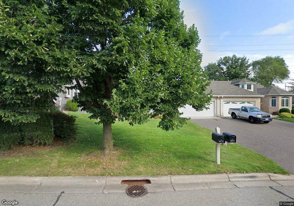
3031 Highpointe Curve Saint Paul, MN 55113
South Owasso NeighborhoodEstimated Value: $478,398 - $578,000
3
Beds
3
Baths
2,382
Sq Ft
$218/Sq Ft
Est. Value
About This Home
This home is located at 3031 Highpointe Curve, Saint Paul, MN 55113 and is currently estimated at $518,350, approximately $217 per square foot. 3031 Highpointe Curve is a home located in Ramsey County with nearby schools including Central Park Elementary School, Roseville Area Middle School, and Roseville Area Senior High School.
Ownership History
Date
Name
Owned For
Owner Type
Purchase Details
Closed on
Apr 10, 2017
Sold by
Wisdorf Mary and Wisdorf Jerome Michael
Bought by
Wisdorf Mary
Current Estimated Value
Purchase Details
Closed on
Nov 22, 2010
Sold by
Knox De Loris J
Bought by
Wisdorf Jerome M and Wisdorf Mary
Purchase Details
Closed on
Jul 28, 1999
Sold by
Wier Richard J and Holmgren Vicki M
Bought by
Knox Edward P and Knox Deloris J
Purchase Details
Closed on
Sep 17, 1996
Sold by
Harstad Homes Inc
Bought by
Wier Richard J
Create a Home Valuation Report for This Property
The Home Valuation Report is an in-depth analysis detailing your home's value as well as a comparison with similar homes in the area
Home Values in the Area
Average Home Value in this Area
Purchase History
| Date | Buyer | Sale Price | Title Company |
|---|---|---|---|
| Wisdorf Mary | -- | None Available | |
| Wisdorf Jerome M | $300,000 | -- | |
| Knox Edward P | $280,000 | -- | |
| Wier Richard J | $207,205 | -- | |
| Harstad Homes Inc | $49,900 | -- |
Source: Public Records
Tax History Compared to Growth
Tax History
| Year | Tax Paid | Tax Assessment Tax Assessment Total Assessment is a certain percentage of the fair market value that is determined by local assessors to be the total taxable value of land and additions on the property. | Land | Improvement |
|---|---|---|---|---|
| 2025 | $6,646 | $483,800 | $100,000 | $383,800 |
| 2023 | $6,646 | $469,700 | $100,000 | $369,700 |
| 2022 | $6,002 | $440,400 | $100,000 | $340,400 |
| 2021 | $5,792 | $397,600 | $100,000 | $297,600 |
| 2020 | $5,722 | $408,600 | $100,000 | $308,600 |
| 2019 | $5,886 | $380,100 | $56,000 | $324,100 |
| 2018 | $5,196 | $380,100 | $56,000 | $324,100 |
| 2017 | $4,448 | $330,500 | $56,000 | $274,500 |
| 2016 | $4,582 | $0 | $0 | $0 |
| 2015 | $4,474 | $307,200 | $56,000 | $251,200 |
| 2014 | $4,200 | $0 | $0 | $0 |
Source: Public Records
Map
Nearby Homes
- 2970 Western Ave N
- 405 Judith Ave
- 2841 Galtier St
- 2821 Galtier St
- 2814 Matilda St
- 417 W Horseshoe Dr
- 387 Iona Ln
- 2802 Marion St
- 540 Woodhill Dr Unit 71
- 2720 MacKubin St
- 2687 Galtier St
- 3318 W Owasso Blvd
- 2730 Dale St N Unit D101
- 2939 W Owasso Blvd
- 3399 Kent St Unit 211
- 2720 Dale St N Unit C208
- 2710 Dale St N Unit B212
- 3421 Kent St Unit 607
- 3421 Kent St Unit 614
- 3421 Kent St Unit 603
- 3033 Highpointe Curve
- 3027 Highpointe Curve
- 3037 Highpointe Curve
- 3025 Highpointe Curve Unit 310
- 0 Unassigned
- 3039 Highpointe Curve
- 3028 Highpointe Curve
- 3026 Highpointe Curve
- 3043 Highpointe Curve
- 3019 Highpointe Curve
- 3022 Highpointe Curve
- 3020 Highpointe Curve
- 3045 Highpointe Curve
- 3061 Highpointe Curve
- 3057 Highpointe Curve
- 3015 Highpointe Curve
- 3014 Highpointe Curve
- 3055 Highpointe Curve
- 0 Unassigned
- 3067 Highpointe Curve