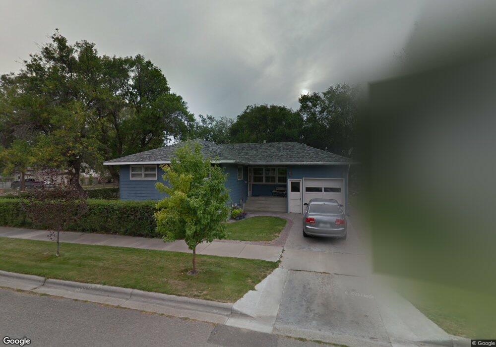
304 10th St W Billings, MT 59102
East Central Billings NeighborhoodEstimated Value: $300,000 - $374,000
4
Beds
2
Baths
1,816
Sq Ft
$185/Sq Ft
Est. Value
About This Home
This home is located at 304 10th St W, Billings, MT 59102 and is currently estimated at $335,536, approximately $184 per square foot. 304 10th St W is a home located in Yellowstone County with nearby schools including Washington School, Lewis & Clark Junior High School, and Billings Senior High School.
Ownership History
Date
Name
Owned For
Owner Type
Purchase Details
Closed on
Jun 30, 2016
Sold by
Pinney Kelvin H and Pinney Linda S
Bought by
Weinreis Shane and Weinreis Tanya
Current Estimated Value
Home Financials for this Owner
Home Financials are based on the most recent Mortgage that was taken out on this home.
Original Mortgage
$205,895
Interest Rate
3.66%
Mortgage Type
Construction
Create a Home Valuation Report for This Property
The Home Valuation Report is an in-depth analysis detailing your home's value as well as a comparison with similar homes in the area
Home Values in the Area
Average Home Value in this Area
Purchase History
| Date | Buyer | Sale Price | Title Company |
|---|---|---|---|
| Weinreis Shane | -- | First Montana Title |
Source: Public Records
Mortgage History
| Date | Status | Borrower | Loan Amount |
|---|---|---|---|
| Closed | Weinreis Shane | $205,895 |
Source: Public Records
Tax History
| Year | Tax Paid | Tax Assessment Tax Assessment Total Assessment is a certain percentage of the fair market value that is determined by local assessors to be the total taxable value of land and additions on the property. | Land | Improvement |
|---|---|---|---|---|
| 2025 | $3,023 | $356,700 | $45,411 | $311,289 |
| 2024 | $3,023 | $298,500 | $43,747 | $254,753 |
| 2023 | $3,052 | $298,500 | $43,747 | $254,753 |
| 2022 | $2,295 | $243,100 | $0 | $0 |
| 2021 | $2,674 | $243,100 | $0 | $0 |
| 2020 | $2,757 | $233,300 | $0 | $0 |
| 2019 | $2,638 | $233,300 | $0 | $0 |
| 2018 | $2,556 | $221,500 | $0 | $0 |
| 2017 | $2,484 | $221,500 | $0 | $0 |
| 2016 | $1,633 | $160,900 | $0 | $0 |
| 2015 | $1,524 | $153,000 | $0 | $0 |
| 2014 | $1,400 | $74,571 | $0 | $0 |
Source: Public Records
Map
Nearby Homes
- 947 Howard Ave
- 925 Miles Ave
- 1132 Saint Johns Ave
- 1009 Wyoming Ave
- 1003 Wyoming Ave
- 1205 Lynn Ave
- 43 Prickett Ln
- 708 Terry Ave
- 1245 Cook Ave
- 1029 Yellowstone Ave Unit 2
- 632 Saint Johns Ave Unit 8
- 1204 Eldorado Dr
- 1216 Eldorado Dr
- 1326 Custer Ave
- 811 7th St W
- 626 Wyoming Ave
- 1342 Custer Ave
- 608 Broadwater Ave
- 1310 Yellowstone Ave Unit 16
- 1310 Yellowstone Ave Unit 6
- 1009 Howard Ave
- 1015 Howard Ave
- 1012 Miles Ave
- 1002 Howard Ave
- 941 Howard Ave
- 1002 Miles Ave
- 946 Miles Ave
- 1008 Miles Ave
- 1017 Howard Ave
- 948, 946 Miles Ave
- 1006 Howard Ave
- 948 Miles Ave
- 946 Howard Ave
- 1016 Miles Ave
- 1018 Howard Ave
- 1018 Howard Ave
- 1018 Howard Ave
- 1018 Howard Ave
- 1018 Howard Ave
- 1018 Howard Ave
Your Personal Tour Guide
Ask me questions while you tour the home.