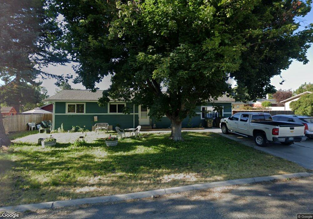
304 7th St Stevensville, MT 59870
Stevensville NeighborhoodEstimated Value: $414,000 - $448,483
3
Beds
1
Bath
1,082
Sq Ft
$395/Sq Ft
Est. Value
About This Home
This home is located at 304 7th St, Stevensville, MT 59870 and is currently estimated at $427,371, approximately $394 per square foot. 304 7th St is a home located in Ravalli County with nearby schools including Stevensville Elementary School, Stevensville Junior High School, and Stevensville High School.
Ownership History
Date
Name
Owned For
Owner Type
Purchase Details
Closed on
Jul 17, 2024
Sold by
Mccown-Coombes Annette Louise and Coombes Annette Louise
Bought by
Coombes Annette Louise and Azulay Steven Gerald
Current Estimated Value
Home Financials for this Owner
Home Financials are based on the most recent Mortgage that was taken out on this home.
Original Mortgage
$228,937
Outstanding Balance
$226,203
Interest Rate
6.99%
Mortgage Type
FHA
Estimated Equity
$201,168
Purchase Details
Closed on
Sep 11, 2017
Sold by
Swallows Douglas W and Swallows Terri A
Bought by
Coombes Billy Dean
Home Financials for this Owner
Home Financials are based on the most recent Mortgage that was taken out on this home.
Original Mortgage
$5,200
Interest Rate
3.92%
Mortgage Type
New Conventional
Create a Home Valuation Report for This Property
The Home Valuation Report is an in-depth analysis detailing your home's value as well as a comparison with similar homes in the area
Home Values in the Area
Average Home Value in this Area
Purchase History
| Date | Buyer | Sale Price | Title Company |
|---|---|---|---|
| Coombes Annette Louise | -- | Fidelity National Title | |
| Coombes Billy Dean | $6,500 | -- |
Source: Public Records
Mortgage History
| Date | Status | Borrower | Loan Amount |
|---|---|---|---|
| Open | Coombes Annette Louise | $228,937 | |
| Previous Owner | Coombes Billy Dean | $5,200 |
Source: Public Records
Tax History Compared to Growth
Tax History
| Year | Tax Paid | Tax Assessment Tax Assessment Total Assessment is a certain percentage of the fair market value that is determined by local assessors to be the total taxable value of land and additions on the property. | Land | Improvement |
|---|---|---|---|---|
| 2025 | $1,385 | $401,300 | $0 | $0 |
| 2024 | $2,420 | $397,700 | $0 | $0 |
| 2023 | $3,058 | $397,700 | $0 | $0 |
| 2022 | $1,455 | $189,400 | $0 | $0 |
| 2021 | $1,580 | $189,400 | $0 | $0 |
| 2020 | $1,497 | $166,600 | $0 | $0 |
| 2019 | $1,423 | $166,600 | $0 | $0 |
| 2018 | $1,156 | $139,400 | $0 | $0 |
| 2017 | $1,221 | $148,400 | $0 | $0 |
| 2016 | $1,155 | $132,600 | $0 | $0 |
| 2015 | $1,155 | $132,600 | $0 | $0 |
| 2014 | $1,234 | $83,740 | $0 | $0 |
Source: Public Records
Map
Nearby Homes
- 308 8th St
- 413 5th St
- Lot 5 Bessie Ln
- 304 10th St
- 623 Park St Unit 3
- 1100 College St
- 404 Pine St
- 3808 Eastside Hwy
- 252 Barbara St
- 262 Barbara St
- 408 Buck St
- 3806 Eastside Hwy
- NHN Mystic River Rd
- 306 Valley View St
- 325 Valley View St
- 211 Middle Burnt Fork Rd
- 819 E 2nd St
- 3707 Eastside Hwy
- 302 Syringa St
- 3682 Dietz Dr