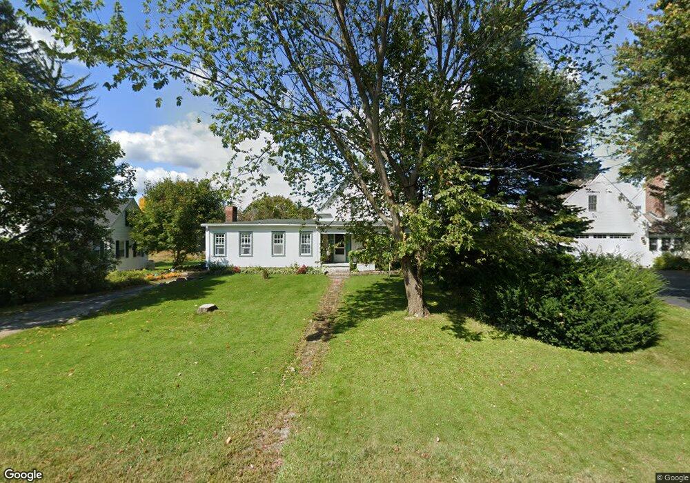
304 Boston Rd Sutton, MA 01590
Estimated Value: $278,000 - $539,000
3
Beds
2
Baths
1,780
Sq Ft
$254/Sq Ft
Est. Value
About This Home
This home is located at 304 Boston Rd, Sutton, MA 01590 and is currently estimated at $452,458, approximately $254 per square foot. 304 Boston Rd is a home located in Worcester County with nearby schools including Sutton Elementary School, Sutton Middle School, and Sutton High School.
Ownership History
Date
Name
Owned For
Owner Type
Purchase Details
Closed on
Oct 26, 2004
Sold by
Perry Jeffrey H and Perry Nancy J
Bought by
Perry Jeffrey H and Perry Nancy J
Current Estimated Value
Purchase Details
Closed on
Dec 7, 1984
Bought by
Perry Ft
Create a Home Valuation Report for This Property
The Home Valuation Report is an in-depth analysis detailing your home's value as well as a comparison with similar homes in the area
Home Values in the Area
Average Home Value in this Area
Purchase History
| Date | Buyer | Sale Price | Title Company |
|---|---|---|---|
| Perry Jeffrey H | -- | -- | |
| Perry Ft | $50,000 | -- |
Source: Public Records
Mortgage History
| Date | Status | Borrower | Loan Amount |
|---|---|---|---|
| Previous Owner | Perry Ft | $54,500 | |
| Previous Owner | Perry Ft | $60,000 |
Source: Public Records
Tax History
| Year | Tax Paid | Tax Assessment Tax Assessment Total Assessment is a certain percentage of the fair market value that is determined by local assessors to be the total taxable value of land and additions on the property. | Land | Improvement |
|---|---|---|---|---|
| 2025 | $4,985 | $414,700 | $160,900 | $253,800 |
| 2024 | $5,123 | $404,000 | $153,600 | $250,400 |
| 2023 | $5,406 | $390,300 | $138,800 | $251,500 |
| 2022 | $4,808 | $316,700 | $105,800 | $210,900 |
| 2021 | $3,692 | $283,900 | $105,800 | $178,100 |
| 2020 | $5,056 | $273,000 | $105,800 | $167,200 |
| 2019 | $4,147 | $251,000 | $102,000 | $149,000 |
| 2018 | $4,003 | $241,900 | $102,000 | $139,900 |
| 2017 | $4,780 | $232,700 | $89,200 | $143,500 |
| 2016 | $3,881 | $232,700 | $89,200 | $143,500 |
| 2015 | $3,761 | $225,500 | $89,200 | $136,300 |
| 2014 | $3,805 | $225,400 | $92,100 | $133,300 |
Source: Public Records
Map
Nearby Homes
- 63 Uxbridge Rd
- 1 Burbank Rd
- 99 Burbank Rd
- 99 Burbank Road Lot 182
- 31 Central Turnpike
- 51 Central Turnpike
- 29 Winwood Rd
- 5 Hamlets Way
- 168 Burbank Rd
- 47 Southwick Rd
- 37 Sutton Rd
- 11 Laurel Dr
- 198 Uxbridge Rd
- 15 Westview Dr
- 229 Worcester-Providence Turnpike
- 265 Mendon Rd
- 0 W Main St
- 354 W Sutton Rd
- 345 W Sutton Rd
- 128 Worcester Providence Turnpike
- 306 Boston Rd
- 10 Dudley Dr
- 301 Boston Rd
- 298 Boston Rd
- 312 Boston Rd
- 314 Boston Rd
- 10 Singletary Ave
- 12 Singletary Ave
- 4 Church Circuit
- 297 Boston Rd
- 318 Boston Rd
- 2 Church Circuit
- 4 Cole Ave
- 11 Uxbridge Rd
- 16 Singletary Ave
- 290 Boston Rd
- 11 Singletary Ave
- 9 Singletary Ave
- 13 Singletary Ave
- 10 Uxbridge Rd