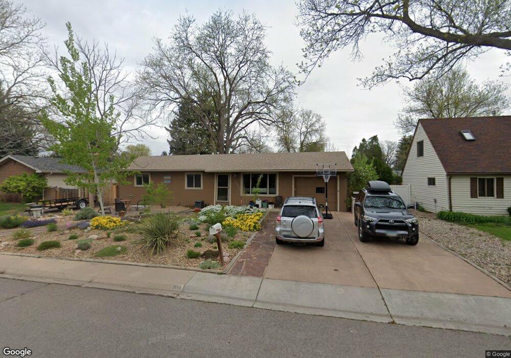
304 Mae St Fort Collins, CO 80525
Scotch Pines NeighborhoodEstimated Value: $547,418 - $638,000
5
Beds
4
Baths
1,312
Sq Ft
$449/Sq Ft
Est. Value
About This Home
This home is located at 304 Mae St, Fort Collins, CO 80525 and is currently estimated at $589,605, approximately $449 per square foot. 304 Mae St is a home located in Larimer County with nearby schools including O'Dea Elementary School, Boltz Middle School, and Fort Collins High School.
Ownership History
Date
Name
Owned For
Owner Type
Purchase Details
Closed on
Oct 22, 2018
Sold by
Odea Patrick W
Bought by
Edmunds David R and Edmunds Daly P S
Current Estimated Value
Home Financials for this Owner
Home Financials are based on the most recent Mortgage that was taken out on this home.
Original Mortgage
$328,500
Outstanding Balance
$285,881
Interest Rate
4.5%
Mortgage Type
New Conventional
Estimated Equity
$303,724
Purchase Details
Closed on
Oct 10, 2010
Sold by
Odea Patrick W T and Odea Lindal
Bought by
Odea Patrick W
Purchase Details
Closed on
Jan 1, 1994
Sold by
Brechtel Bethel J
Bought by
Odea Linda L
Create a Home Valuation Report for This Property
The Home Valuation Report is an in-depth analysis detailing your home's value as well as a comparison with similar homes in the area
Home Values in the Area
Average Home Value in this Area
Purchase History
| Date | Buyer | Sale Price | Title Company |
|---|---|---|---|
| Edmunds David R | $365,000 | Fidelity National Title | |
| Odea Patrick W | -- | Fidelity National Title Insu | |
| Odea Patrick W | -- | Fidelity National Title Insu | |
| Odea Linda L | $110,000 | -- |
Source: Public Records
Mortgage History
| Date | Status | Borrower | Loan Amount |
|---|---|---|---|
| Open | Edmunds David R | $328,500 |
Source: Public Records
Tax History Compared to Growth
Tax History
| Year | Tax Paid | Tax Assessment Tax Assessment Total Assessment is a certain percentage of the fair market value that is determined by local assessors to be the total taxable value of land and additions on the property. | Land | Improvement |
|---|---|---|---|---|
| 2025 | $3,218 | $37,219 | $2,546 | $34,673 |
| 2024 | $3,061 | $37,219 | $2,546 | $34,673 |
| 2022 | $2,544 | $26,938 | $2,641 | $24,297 |
| 2021 | $2,571 | $27,713 | $2,717 | $24,996 |
| 2020 | $2,575 | $27,520 | $2,717 | $24,803 |
| 2019 | $2,586 | $27,520 | $2,717 | $24,803 |
| 2018 | $2,167 | $23,782 | $2,736 | $21,046 |
| 2017 | $2,160 | $23,782 | $2,736 | $21,046 |
| 2016 | $1,917 | $20,999 | $3,025 | $17,974 |
| 2015 | $1,903 | $20,990 | $3,020 | $17,970 |
| 2014 | $1,534 | $16,820 | $3,020 | $13,800 |
Source: Public Records
Map
Nearby Homes
- 2612 Harvard St
- 2900 Stanford Rd
- 2701 Stover St Unit C10
- 2716 Ringneck Dr
- 2500 S College Ave
- 705 E Drake Rd Unit O35
- 401 Bluejay St
- 801 E Drake Rd Unit G82
- 3400 Stanford Rd Unit A129
- 3400 Stanford Rd Unit A120
- 809 E Drake Rd Unit B112
- 3431 Stover St Unit E513
- 3431 Stover St Unit E523
- 512 E Monroe Dr Unit C331
- 924 Vanderbilt Ct
- 2442 Amherst St
- 3008 Southmoor Ct
- 3013 Meadowlark Ave
- 1001 Strachan Dr Unit 22
- 813 Boltz Dr