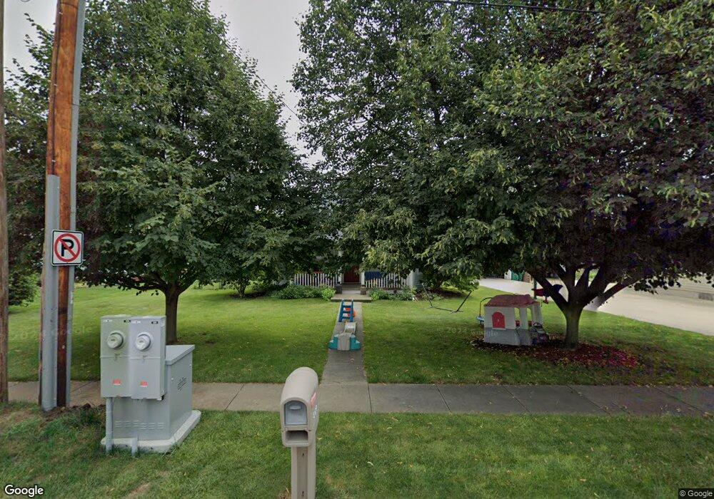
304 Main St Norwalk, IA 50211
Estimated Value: $195,000 - $217,685
2
Beds
1
Bath
1,220
Sq Ft
$171/Sq Ft
Est. Value
About This Home
This home is located at 304 Main St, Norwalk, IA 50211 and is currently estimated at $208,421, approximately $170 per square foot. 304 Main St is a home located in Warren County with nearby schools including Oviatt Elementary School, Orchard Hills Elementary School, and Lakewood Elementary School.
Ownership History
Date
Name
Owned For
Owner Type
Purchase Details
Closed on
Jul 14, 2021
Sold by
Slycord Linda N and Ralph R Noel Revocable Living
Bought by
Noel Ralph Randy and Noel Angie
Current Estimated Value
Home Financials for this Owner
Home Financials are based on the most recent Mortgage that was taken out on this home.
Original Mortgage
$80,000
Interest Rate
2.96%
Mortgage Type
Future Advance Clause Open End Mortgage
Purchase Details
Closed on
May 10, 2016
Sold by
Noel Ralpha R
Bought by
Noel Ralph R
Create a Home Valuation Report for This Property
The Home Valuation Report is an in-depth analysis detailing your home's value as well as a comparison with similar homes in the area
Home Values in the Area
Average Home Value in this Area
Purchase History
| Date | Buyer | Sale Price | Title Company |
|---|---|---|---|
| Noel Ralph Randy | -- | None Available | |
| Noel Ralph R | -- | None Available |
Source: Public Records
Mortgage History
| Date | Status | Borrower | Loan Amount |
|---|---|---|---|
| Previous Owner | Noel Ralph Randy | $80,000 |
Source: Public Records
Tax History Compared to Growth
Tax History
| Year | Tax Paid | Tax Assessment Tax Assessment Total Assessment is a certain percentage of the fair market value that is determined by local assessors to be the total taxable value of land and additions on the property. | Land | Improvement |
|---|---|---|---|---|
| 2025 | $3,242 | $183,000 | $39,600 | $143,400 |
| 2024 | $3,040 | $172,000 | $35,200 | $136,800 |
| 2023 | $3,098 | $172,000 | $35,200 | $136,800 |
| 2022 | $3,086 | $147,400 | $35,200 | $112,200 |
| 2021 | $3,104 | $147,400 | $35,200 | $112,200 |
| 2020 | $3,104 | $139,800 | $35,200 | $104,600 |
| 2019 | $2,610 | $139,800 | $35,200 | $104,600 |
| 2018 | $2,524 | $116,700 | $0 | $0 |
| 2017 | $2,540 | $116,700 | $0 | $0 |
| 2016 | $2,516 | $113,400 | $0 | $0 |
| 2015 | $2,516 | $113,400 | $0 | $0 |
| 2014 | $2,436 | $109,900 | $0 | $0 |
Source: Public Records
Map
Nearby Homes
- 500 W Walnut Place
- 902 School Ave
- 711 Wright Rd
- 734 Wright Rd
- 735 Wright Rd
- 728 Wright Rd
- 729 Wright Rd
- 305 Snyder Ave
- 403 Snyder Ave
- 1000 North Ave
- The Trend Setter Plan at Sunset Estates
- Jefferson Plan at Sunset Estates
- The Urban Prairie Plan at Sunset Estates
- Reagan Plan at Sunset Estates
- Fillmore Plan at Sunset Estates
- Harrison III Plan at Sunset Estates
- The Grand Gianna Plan at Sunset Estates
- Hoover B Plan at Sunset Estates
- The Way Cool Plan at Sunset Estates
- Hoover Plan at Sunset Estates