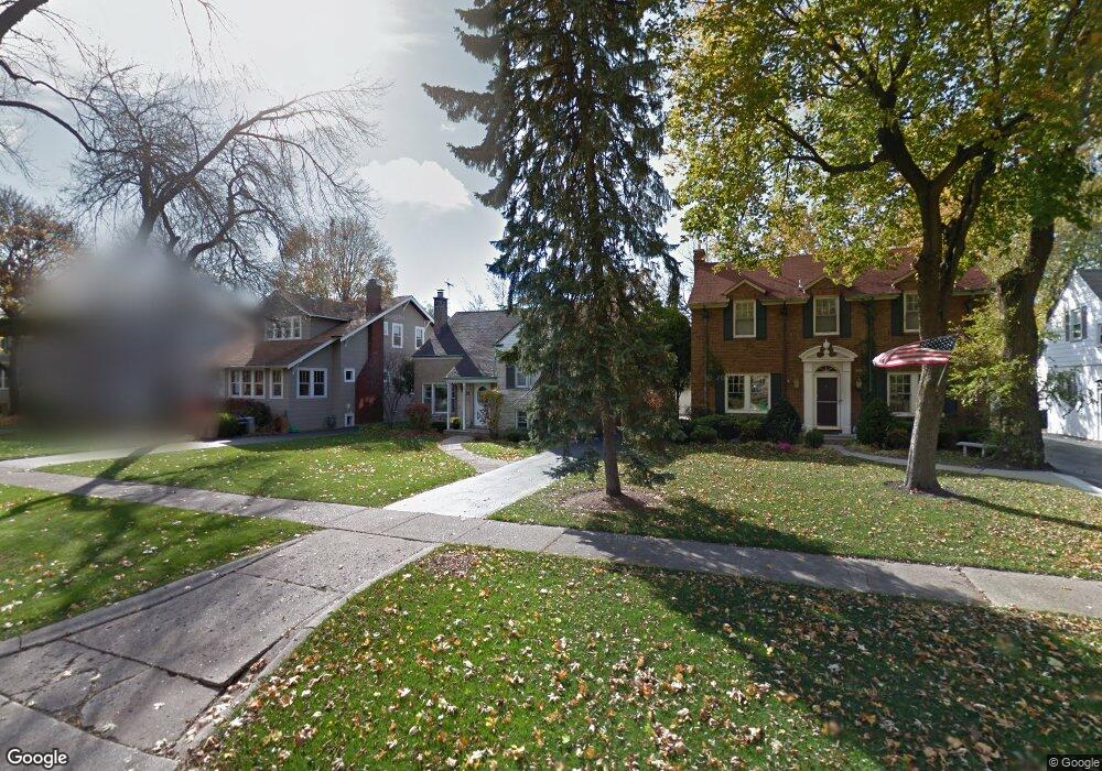
304 Nuttall Rd Riverside, IL 60546
Estimated Value: $505,921 - $621,000
4
Beds
2
Baths
1,620
Sq Ft
$348/Sq Ft
Est. Value
About This Home
This home is located at 304 Nuttall Rd, Riverside, IL 60546 and is currently estimated at $563,480, approximately $347 per square foot. 304 Nuttall Rd is a home located in Cook County with nearby schools including A F Ames Elementary School, L J Hauser Jr High School, and Riverside Brookfield High School.
Ownership History
Date
Name
Owned For
Owner Type
Purchase Details
Closed on
Sep 19, 2019
Sold by
Hannon Edward J and Hannon Maureen O
Bought by
Hannon Maureen O
Current Estimated Value
Purchase Details
Closed on
Sep 7, 2001
Sold by
Hannon Edward J and Hannon Maureen O
Bought by
Hannon Maureen O
Home Financials for this Owner
Home Financials are based on the most recent Mortgage that was taken out on this home.
Original Mortgage
$252,000
Outstanding Balance
$90,584
Interest Rate
6.37%
Estimated Equity
$472,896
Purchase Details
Closed on
Jul 27, 1999
Sold by
Heintz Brendan S
Bought by
Hannon Edward J and Hannon Maureen O
Home Financials for this Owner
Home Financials are based on the most recent Mortgage that was taken out on this home.
Original Mortgage
$222,400
Interest Rate
7.12%
Create a Home Valuation Report for This Property
The Home Valuation Report is an in-depth analysis detailing your home's value as well as a comparison with similar homes in the area
Home Values in the Area
Average Home Value in this Area
Purchase History
| Date | Buyer | Sale Price | Title Company |
|---|---|---|---|
| Hannon Maureen O | -- | None Available | |
| Hannon Maureen O | -- | -- | |
| Hannon Edward J | $278,000 | 1St American Title |
Source: Public Records
Mortgage History
| Date | Status | Borrower | Loan Amount |
|---|---|---|---|
| Open | Hannon Maureen O | $252,000 | |
| Closed | Hannon Edward J | $222,400 | |
| Closed | Hannon Edward J | $27,800 |
Source: Public Records
Tax History
| Year | Tax Paid | Tax Assessment Tax Assessment Total Assessment is a certain percentage of the fair market value that is determined by local assessors to be the total taxable value of land and additions on the property. | Land | Improvement |
|---|---|---|---|---|
| 2025 | $11,732 | $39,989 | $9,729 | $30,260 |
| 2024 | $11,732 | $39,989 | $9,729 | $30,260 |
| 2023 | $11,947 | $39,989 | $9,729 | $30,260 |
| 2022 | $11,947 | $34,611 | $8,513 | $26,098 |
| 2021 | $12,287 | $36,716 | $8,512 | $28,204 |
| 2020 | $11,966 | $36,716 | $8,512 | $28,204 |
| 2019 | $8,321 | $27,071 | $7,783 | $19,288 |
| 2018 | $8,074 | $27,071 | $7,783 | $19,288 |
| 2017 | $7,833 | $27,071 | $7,783 | $19,288 |
| 2016 | $8,351 | $26,211 | $6,810 | $19,401 |
| 2015 | $8,117 | $26,211 | $6,810 | $19,401 |
| 2014 | $7,996 | $26,211 | $6,810 | $19,401 |
| 2013 | $8,590 | $30,165 | $6,810 | $23,355 |
Source: Public Records
Map
Nearby Homes
- 231 Bartram Rd
- 315 Bartram Rd
- 101 Southcote Rd
- 305 Desplaines Ave
- 367 Bartram Rd
- 410 Repton Rd
- 8117 W 30th St
- 236 Maplewood Rd
- 220 Maplewood Rd
- 269 Shenstone Rd
- 2527 Keystone Ave
- 108 E Burlington St Unit B
- 2433 Keystone Ave
- 10 E Burlington St Unit 2C
- 10 E Burlington St Unit 2B
- 369 Addison Rd
- 78 Pine Ave
- 478 Kent Rd
- 562 Byrd Rd
- 2311 Park Ave
Your Personal Tour Guide
Ask me questions while you tour the home.